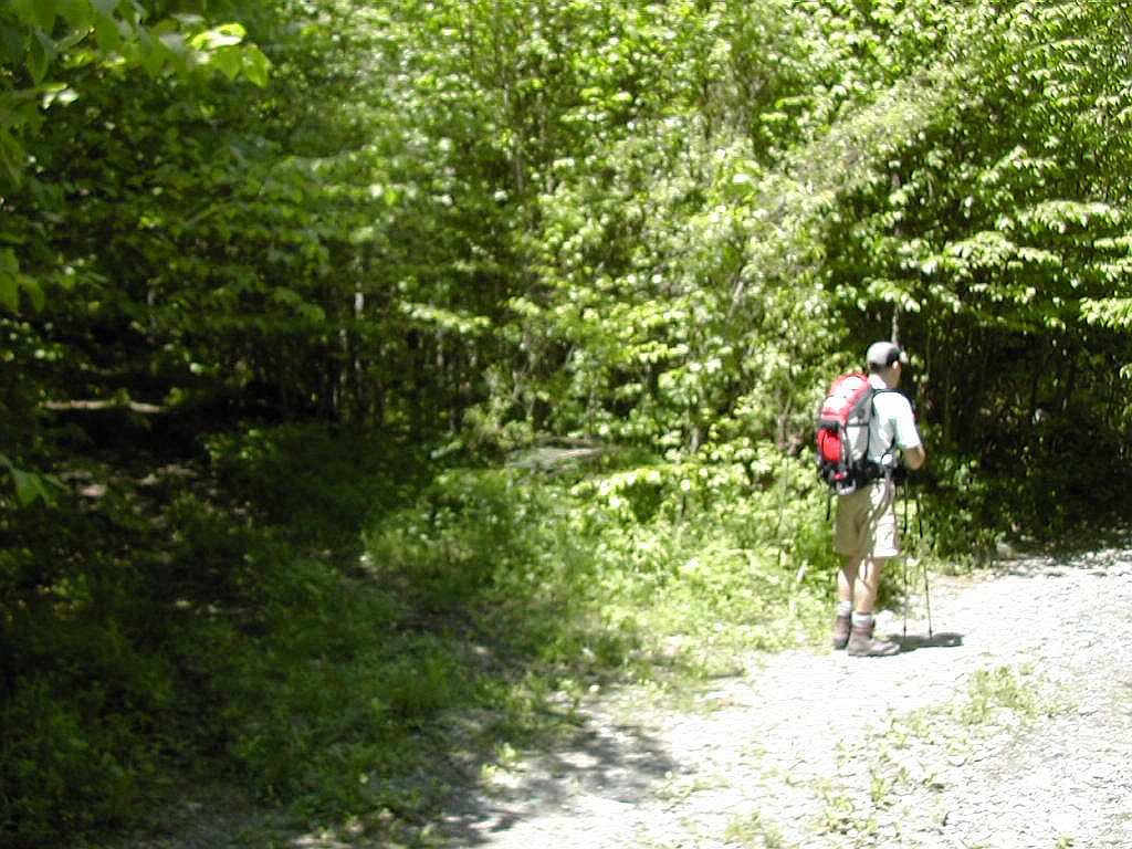
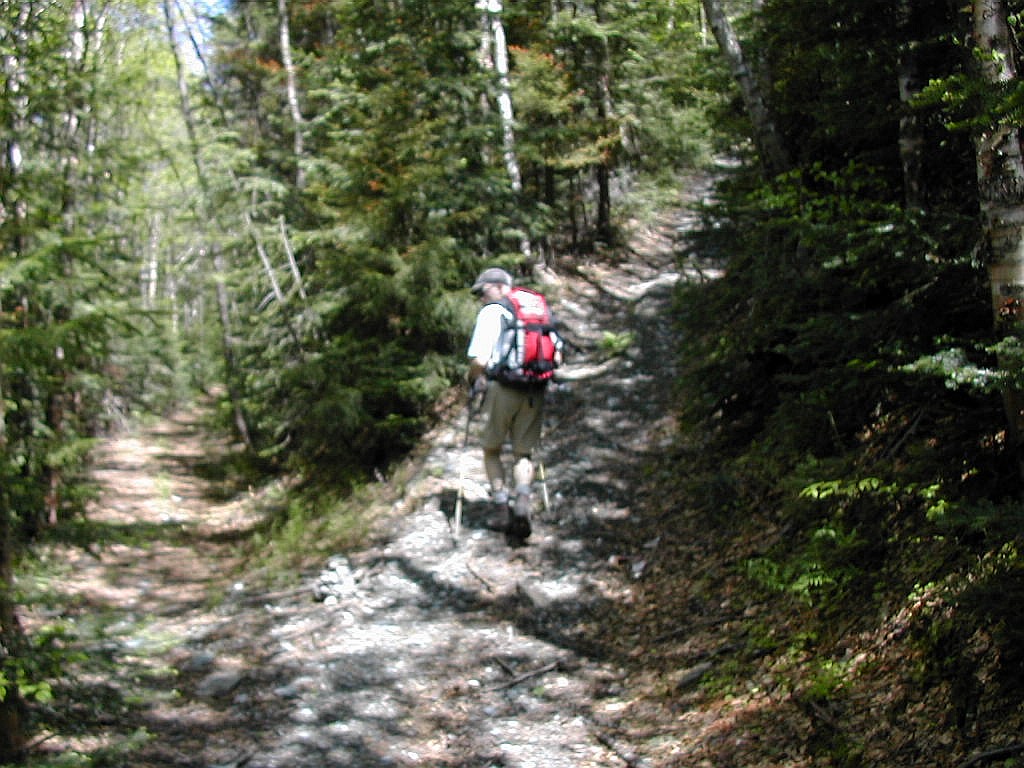
The woods road starts out from Dorset Hollow
|
Click on an entry to jump to a particular section: |
|
Dorset Peak - June 10, 2003 Mendon and Pico Peaks - June 11, 2003 Mount Equinox - June 25, 2003 The Coolidge Range - June 26, 2003 |
| O |
 ).
I had taken the bus up and he had driven down. We had originally "met" on the discussion forums of
Views From the Top, an internet site devoted
to hiking and climbing in the northeast. We found ourselves to be very compatible hikers.
).
I had taken the bus up and he had driven down. We had originally "met" on the discussion forums of
Views From the Top, an internet site devoted
to hiking and climbing in the northeast. We found ourselves to be very compatible hikers.
We did the pleasant hike up to Dorset Peak - first the south summit, then the north. We took about 3 hours and 15 minutes round trip. On such a sunny day and we would have stayed longer at the summit if not alas, for the bugs. There is a nice view towards the northwest from the south peak, but none from the north peak (which has the canister). And yes, the pitchers are still there.
Since Dorset is one of the New England 100 highest peaks (actually Dorset is number 99), it gets perhaps more travel by hikers than it's features might warrent. Nevertheless, we found it to be a very enjoyable hike and certainly it had a number of attractions. I tried to take a picture at each of the spots along the route that are referred to in the trail descriptions available, so as to be of some help to anyone who may intend to follow this route.
The best trail description I have found is the Green Mountain Club's Day Hiker's Guide, a great little book which you should get if you don't have it already. There is even a little map in there showing the trails on the summit. This made it much easier to visualize the route than reading the many descriptions that are available, with the profusion of confusing logging roads, snowmobile paths and trails. In actuality, there was very little confusion in finding the route once we got out there.
|
The woods road starts out from Dorset Hollow |
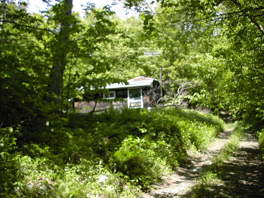 A hunting cabin at the side of the road |
The woods road ascends very easily and after about a mile it bears to the right and starts to ascend more steeply. Soon
after, we passed a hunting cabin on the left as the road gets steeper. One of the reports I read mentions that the
young man who lives here is very friendly to hikers and interested in the idea of climbing "100 peaks". No one was around
the day we went by.
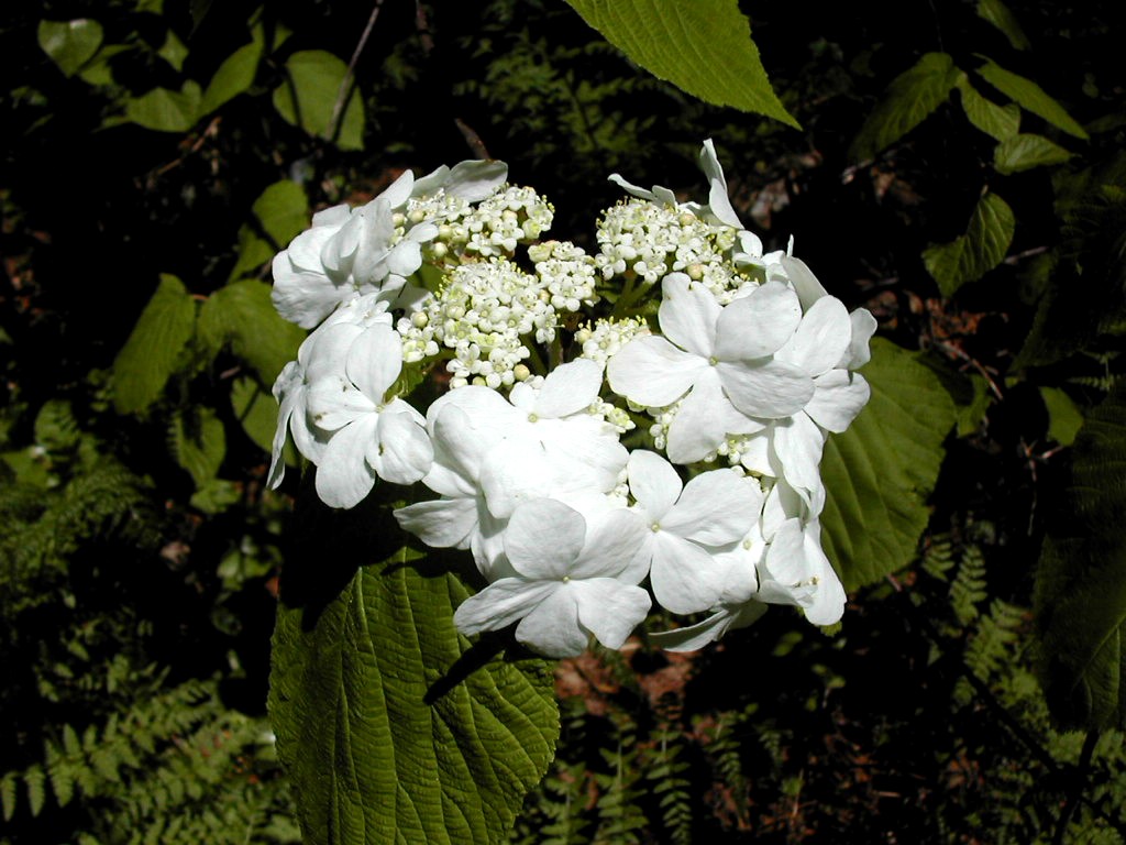 Viburnum along the side of the road |
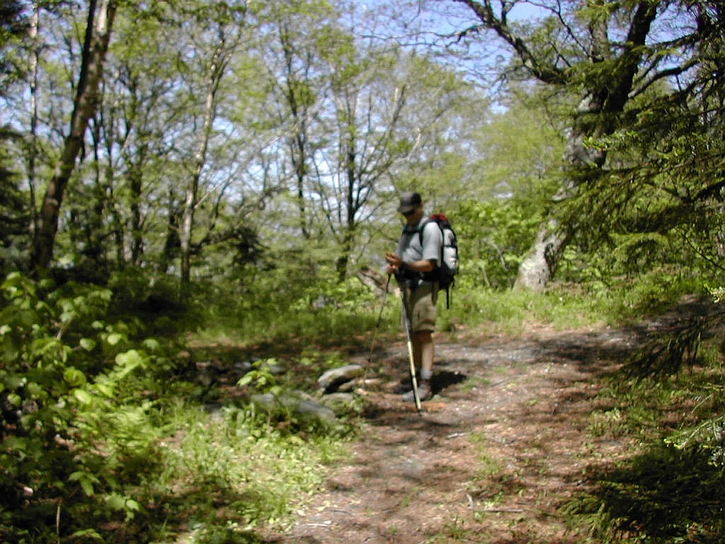 Meo checks his GPS at the fork in the road |
The road to the right proved to be very easy walking and we knew most of our work was behind us so we were feeling good.
Meo had brought the GPS he had just bought and had fun setting routes and way-points and gererally having fun with this
new toy. For my part, I was wearing my Suunto Altimeter watch, also new. We were like two little kids.
 The first right turn up onto a snowmobile path |
 The second right turn up onto a steep path |
The second turn was equally clear. This was a right turn onto a rather steeper and less well graded trail. This was obviously a hiking trail and I doubt if a snowmobile could make it up this route.
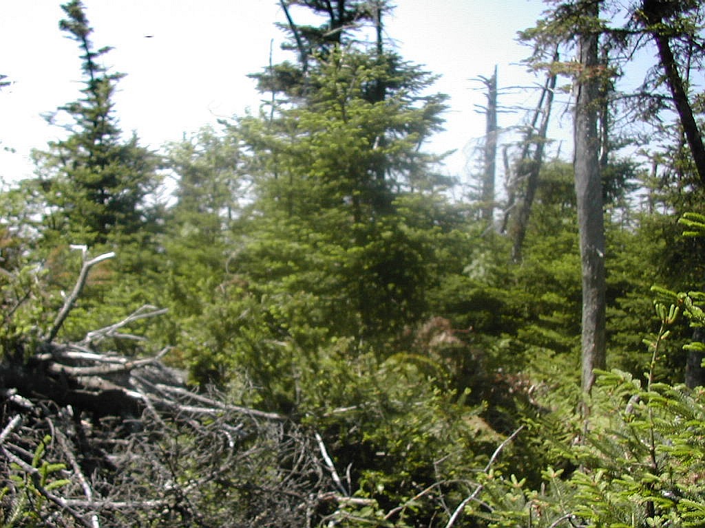
In a few minutes this trail brought us to a clearing and we found ourselves on the south summit.
 Meo enjoying the view from the south summit |
 The trail heading over to the north summit |
The route on to the north summit was quite clear, so we started off on the
fairly level trail
through open fir towards the north.
The route between the two summits is slightly more than half a mile and there very little elevation loss - perhaps 100' down to the col. The trail is fairly straight, but there are a number other trails which cross, with the possibility of some confusion. In each case the correct route is straight across each intersection.
There were two crossing that stick in my mind. The first
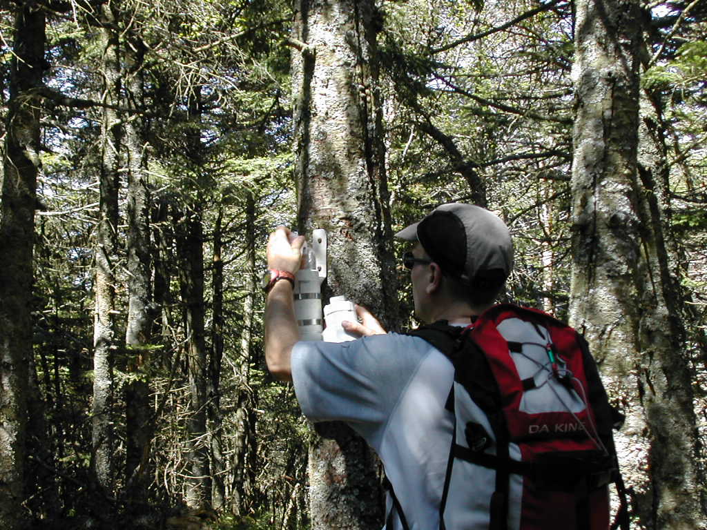 Meo opens the canister at the north summit |
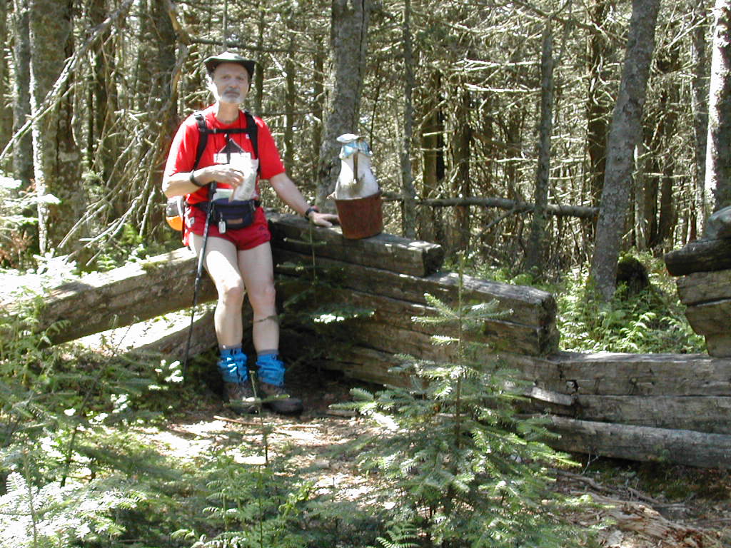 Papa Bear sitting next to the pitchers checking the log |
At the summit we found the canister on the right side of the trail, and to the left were the remains of an old cabin. In my mind I was expecting more of a structure - it was just a few feet of old timbers forming a right angle. But it provided a place to sit and there in the corner was an old rusted bucket and two pitchers. I guess a generation of hikers fondly recalls these pitchers. Gene Daniels writes in his Routes To New England Hundred Highest Peaks: "... the Dorset Memorial Pitcher, placed here in February 1978 by Tom Sawyer & myself, commemorating all those who have become temporarily bewildered on the slopes of this mountain. (Everyone gets there, but sometimes it takes more than one try.)"
The bugs were out as soon as we stopped moving, so we did not tarry. On the way back we took a right turn at the intersection with the doorknobs. This was the snowmobile path we had taken earlier, and on it we bypassed the south peak and eventually descended to the logging road leading to the height of land between Dorset and Jackson.
Going down is so easy compared to going up. What a surprise! Before we knew it we were down and past the hunting cabin, and soon back at the car. As we got packed up, another car arrived and after looking around a bit, the driver parked right in front of our car. Now what would someone be driving way in here for? Well, you guessed it, it was another 100 Highest peak bagger. A man got out an introduced himself as John Buckley. He asked how long it took us, not even asking how long for what! I guess it was as obvious what we were doing here as it was to us what he was doing. Soon he was off on the trail, and we were off to stake out a campsite at Emerald Lake State Park for the night.
Emerald Lake is a lovely park on the opposite side of Dorset Mountain, on Route 7, about 10 miles of driving. It turns out that
Meo had attempted to bag Dorset from this side last year, but without a map or directions he was defeated by the
confusion of logging roads. But as Gene Daniels said of Dorset: "Everyone gets there, but sometimes it takes more
than one try."
We found a nice spot, and I actually took a shower (coin operated - bring some quarters). We enjoyed a scrumtious supper courtesy of Meo. Hey, the guy with the car brings the stuff, right?
| O |
We found the best resource for navigating the bushwhack up to Mendon to be the report on VFTT written by Brian Reinhold of the hike that he, Sherpa Kroto and Arm did in May of last year. We did not have the good weather that they did but we accomplished our goals on this very wet and tiring day of hiking.
| O |
|
1) The directions given in Gene Daniels' Routes To New England Hundred Highest Peaks, suggests beginning the bushwhack about 1.5 miles up the logging road, just after the first stream crossing. He reports that various hikers have found logging roads in this area and have found the west summit from them. His route approaches Mendon from the northwest. 2) On the other hand, Brian Reinhold's account takes you up past the fourth crossing (which he calls the "second crossing from the run-down cabin") which is about 3.2 miles up the logging road, and approaches Mendon from the east (or slightly north of east). This is a totally different route, so don't confuse the directions from these two sources. To add to this confusion, there is a cairn (which I call the "first cairn") which was built by recent hikers and has lately been the consensus starting point. Brian's route is close to this but is not the same. It starts about 10 minute's hike and 250' of elevation further up the road. You might say starting at the first cairn or at Brian's second cairn are two close variations. But let's face it, once you hit the woods off the trail, all the trees look alike! The other thing to remember is that Brian's account mentions a heading of due magnetic west. The magnetic declination is about 15° in this area, so if you are trying to plot that on a map, the bearing would be 255°, slightly south of west (true west would be 270°). If you don't plot from a map and just use a compass, don't worry about it, going due magnetic west is fine, without further ado. 3) The plot of the logging road on the topographic map of the area (see Topozone) is rather inacurate in the upper section. My best estimate based on altimeter readings we took, is that the logging road does not veer up to the right before dissapearing as shown on the topo map, but rather veers left and follows along near the top of the headwall, somewhere between 3300' and 3500' before eventually heading up towards Killington where it meets the Long Trail at approximately 3900'. |
| W |
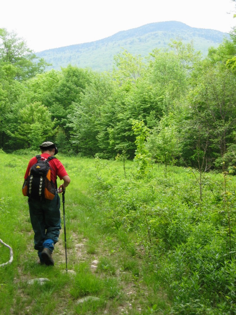 Papa Bear with Mendon in the distance |
The number of stream crossings always seems to vary in the accounts of this hike, so we counted them carefully, noted the elevations in my log, and took pictures of each one. Remember that you start on the left side of the stream (It's called Eddy Brook) and end up on the right side, so you must cross it an odd number of times. The first crossing (where Gene's bushwhack starts) was at 2100'. The second was at 2270'. The third crossing is just after an old run-down cabin and is at 2500'.
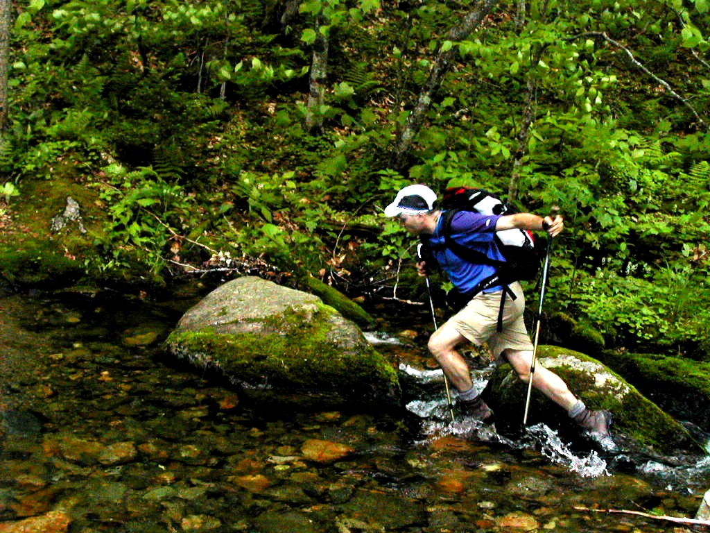 The first crossing of Eddy Brook |
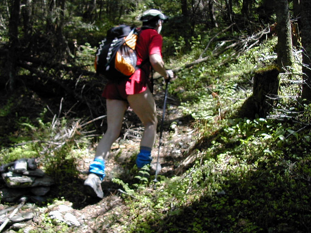
We were almost there! Another right hand turn up a steep section and finally another left hand turn brought the second cairn (Brian's cairn) into view. The elevation was just over 3300' and we had hiked over 3 miles. Since we had been hiking about an hour and a half (and almost 1600' of elevation) without a rest, we took a break here
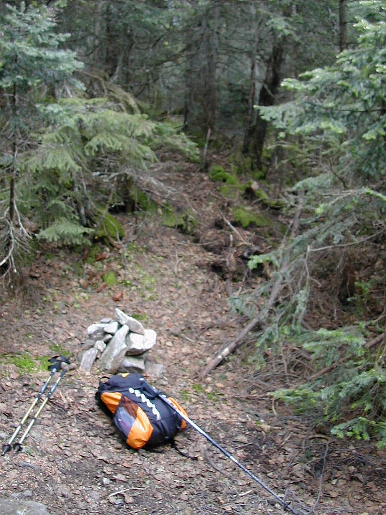 The second cairn starting point for the bushwhack |
We went into the woods at around 10:30, just as it
started to rain and soon found the going very tough. As per Brian's account, we followed a magnetic west bearing,
which agreed with the reading on Meo's GPS as the direction to Mendon. He had put the coordinates into the device
a few days before in preparation for this hike. But unlike Brian's group, we could not "keep Killington at our back"
since it was hidden by fog and clouds. We also didn't have the luck or instinct they seemed to have had and found the
going very tough. (Didn't I just say that?
)
In spite of the rain and tough going, I spotted a beautiful Red Trillium and had to stop to take a picture.
As we hit the steep section at the top of the mountain, we turned straight up the slope (to the left, or south) and arrived almost exacty on the east peak. We easily found the herd path to the west peak and had no trouble following it. Only when it was blocked by a blowdown did we have to look carefully so as not to lose the path. The distance between two peaks is only slightly more than .1 miles with the low point in the col perhaps 20' down and then 60' up to the west peak, so this was hardly a five minute walk. As we got close to the true (west) peak, the herd path circled around a little to the right (north) and we arrived at the peak peak more from the north than from the east. The canister is a few yards off to the right, and if you continue a short distance past the peak, you get a very nice view to the south - even in the rain. We got there about 11:10 AM. Brian's account says
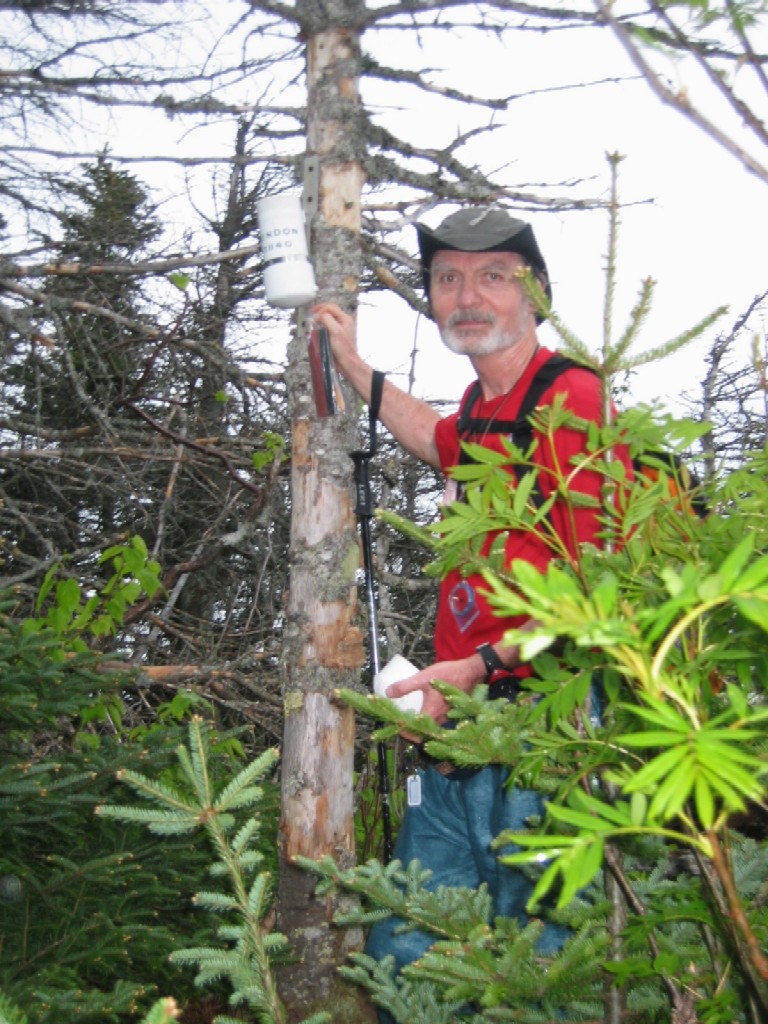 The Mendon Canister |
We then went back along the herd path to the east peak and found another herd path down off the peak towards the east. It starts slightly to the left (north) of the summit. This was very easy going, and when it degenerated into myriad animal paths (with myriad piles of deer scat), we took the path of least resistance down, slightly to the north (left) of east. Low and behold, we arrived on the logging road with very little effort. This was at elevation around 3400' and is where the road reaches it's high point on the side of Mendon.
Now this would be the way to go. Forget Gene's route, forget the first cairn, forget the second cairn, go up further along the road to the height of land (probably 5 minutes walk past the second cairn) and proceed in from there approximately magnetic west but take the steepest route up slope and you will, or I should say you will hopefully reach the east peak with considerably less effors than we expended. From there folowing the herd path to the true summit (the west peak) is a piece of cake. If I were to do this peak again, this is the route I would attempt.
| T |
The road then starts to rise again, rather steeply, and is more of a trail than a road for it's last half mile or so. Curiously, the last section showed signs of recent maintenance. Several blowdowns were cleared and some brushing seems to have been done. It finally hits the LT at around elevation 3900' about a quarter mile from the Cooper Lodge. Just before we saw the trail, we saw a backpacker walking by. I shouted out: "I hope you're on the Long Trail". He said (perhaps thinking I was daft) "Yes". This was Eric, who was on his first day of a section hike on the LT, and incidently the only person we would see on the trail all day.
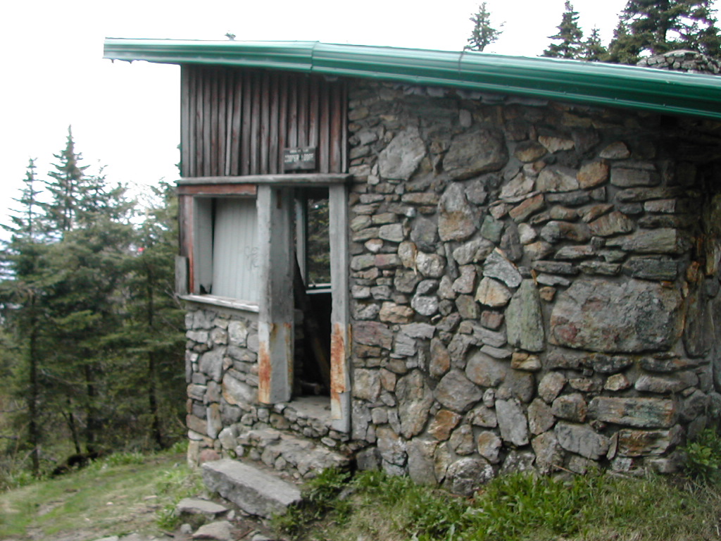 Cooper Lodge |
Cooper Lodge is interesting. It's not the typical lean-to style shelter usually found along the AT and the LT. It's an old stone building with a door and windows (with no glass) which probably served as a ski warming hut in years long past. I stayed there overnight about a year ago when I was section hiking the AT in this area.
At this point I got a little concerned about the time. Although we had done the major, and by far the hardest part of what we planned for the day, we actually had gone less that half the total distance. At this point we had hiked about 6 miles. But to go north on the LT, take the side trail to Pico, then return back down the LT to the Bucklin Trail (which intersected the LT just down the hill from where we were), and return to the car that way, was over 10 miles more. Luckily most, but not all of that was down hill, but with a bus to catch in Rutland in six hours, I knew we couldn't dally.
| S |
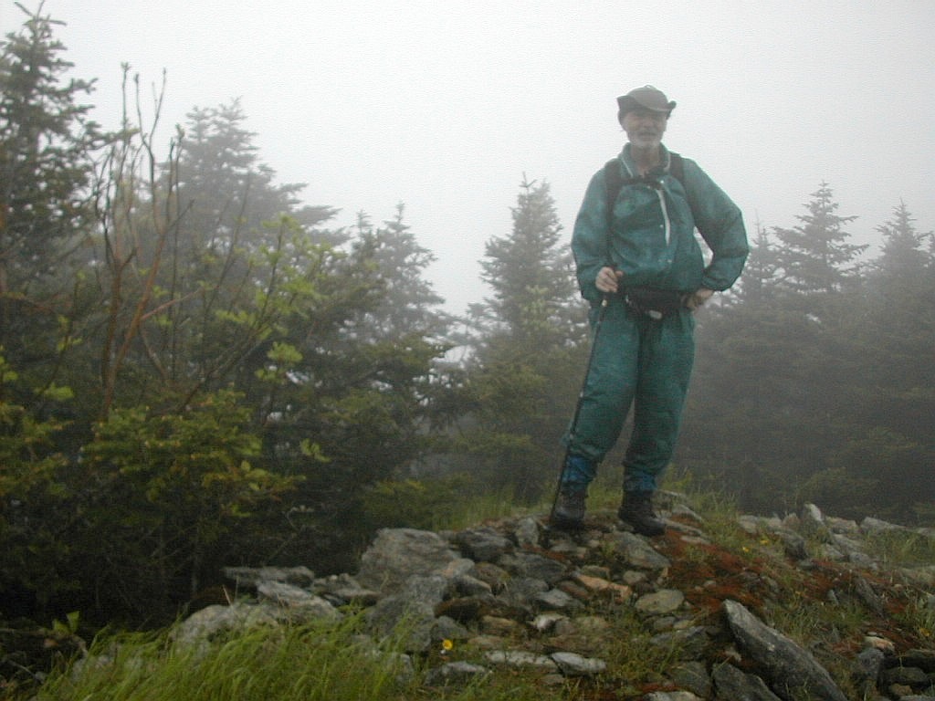 On the summit of Pico in the fog |
We took the side trail and in a few minutes reached a wide ski trail trending up to the left. We saved a little bit of hiking by following this ski trail and skipping past the Pico Shelter. We then picked up the summit spur trail, which was rather steep and rocky but thankfully short, and soon arrived at the summit in the fog, rain and wind. It had an especially eerie look with the large gondola building looming overhead as we went up past the warming hut to the summit. After crossing a road and another grassy area, there it was - the summit (and Meo's last Vermont 100 highest). Was there a sign or a canister? No just a pile of rocks and some kind of water pipe used by the ski area. Meo and I shook hands and congratulated each other - we had made it!
After the obligatory pictures, it was down again, back up the LT, then down the Bucklin Trail to the car. Easier said than done however. Getting back to the LT on the side trail was very quick but moving back down the LT to Killington and the Bucklin Trail was very tiring. The long day and the tough bushwhack was at last catching up with me. What seemed like an easy down grade on the way over, became a relentless up grade on the way back. But we made it, taking only about 10 minues more than it took the first time.
Then it was down the Bucklin Trail. Everyone had said this was all down hill, but I'm generally a little skeptical of that kind of advice. There's almost always some uphill they don't mention. But in this case I must admit it really was all down hill (except maybe a few feet going up a stream bank). The first mile down was rather steep - it fell over a thousand feet in about a mile. I'm glad we were going down, not up. Then the trail joined an old woods road and eased up. Finally it crossed a stream, followed another woods road for about a half mile and eventually ended back at Brewers corner. It was just after 5:00 PM. We had been hiking for over 8 hours, and I for one was beat.
We made it to the Rutland Bus station with plenty of time to spare. I spent most of the trip home snoozing and got home with little to complain about than a tiny rip in my Frogg Toggs bottoms (from some fir branch, I guess) and a few sore muscles. It was a great trip with good memories of Vermont!
| T |
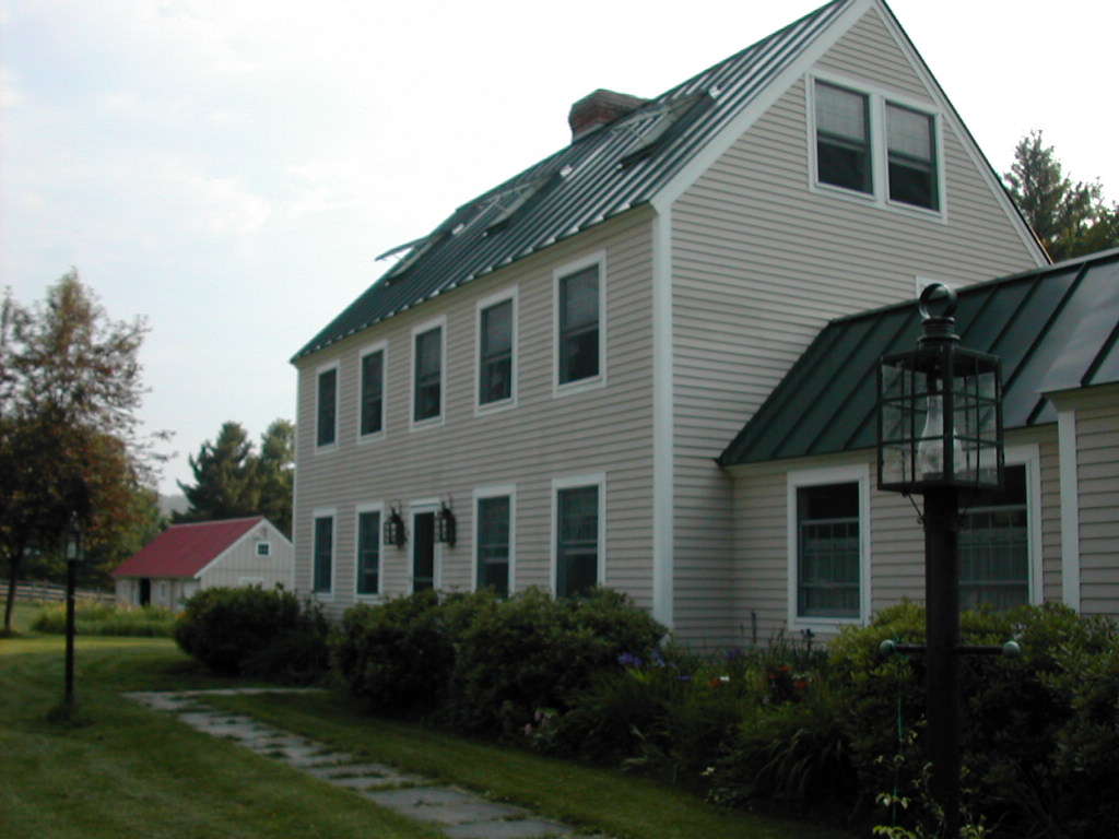
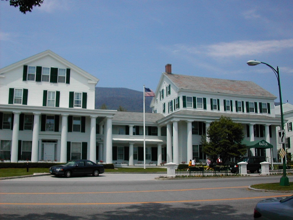 The Historic Equinox Hotel |
On Wednesday June 25th I got on an early bus in NYC and headed up to Vermont. The rainy season seemed to be over and the weather was expected to be hot and somewhat humid both in New York and Vermont. Around noon I arrived in the old part of Manchester, right in front of the historic Equinox Hotel.
When I hopped out of the bus I could feel that it was a rather hot day, around 90° in the valley. I was hoping it would be cooler when I hit the woods. The trail guide (The Vermont Day Hikers Guide, published by the
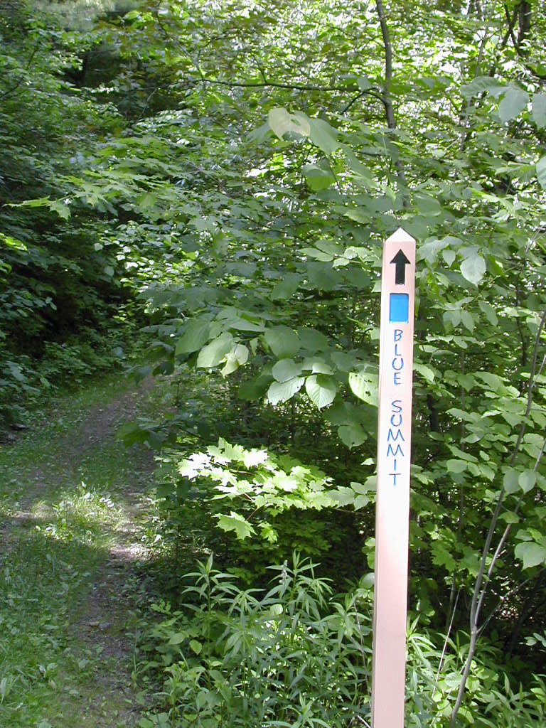 Start of the Burr and Burton Trail |
From the parking lot the trail follows a woods road up a very easy slope. A few mosquitoes were buzzing around which was a little annoying but they didn't seem to be biting. The road got increasingly steep and although there was no scrambling, the route was consistently steep for the next 2 miles. On this hot day it was very tiring.
About half way up - after climbing about 1400' - there was a side trail to a spring which the book described as "Gushing" - it said you could hear the spring from the trail junction - and you could. I took the short walk over
|
Equinox Upper Spring |
Above the spring the route became less and less of a road and more and more of a trail. But there were signs from the way the route was cut into the side of the mountain that it had one been some sort of a road, perhaps for some logging long ago. I passed the only other hiker I would see all day here, a woman coming down the trail. There were some broad curving stretches which sufficed to keep the hike reasonable. Sort of switchbacks on a very large scale.
At about 3100' the trail leveled off for a while and it was clear I had finished most of the steepest hiking. The trees also changed from mixed hardwoods to spruce and fir, as you would expect at this elevation. This section was rather pleasant with mostly open, older trees. It had clearly not been logged in a while. At about 3500 it once again became steep and the trees here were very thick. I crossed another trail marked in yellow which led to the
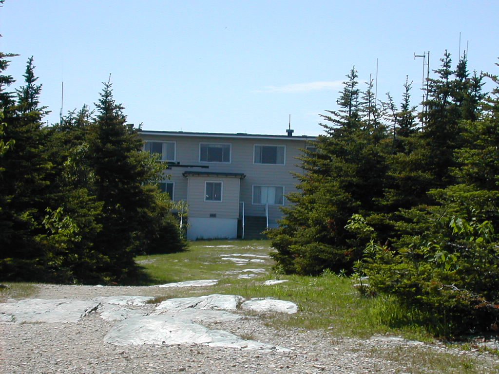 The Equinox Inn at the Summit |
The trail continued a short distance to the ridge line where it crossed a dirt road and a radio transmission tower. The trail circled around to the left of this and at this point the Burr and Burton (Blue) trail ended at a T-intersection with the ridge trail to the summit. I took a left and in a short time arrived at the open summit.
This was not a particularly beautiful site: there was a large hotel (The Equinox Inn, that was closed) and a
parking lot with a large array of radio towers off to the side. But there were some
nice views,
particularly to the west. The
parking lot was the upper end of the Equinox summit road, a private toll road. A few cars were there and a few
"fat people" were wandering around. I guess they were disappointed there was no snack bar to reward them after their
difficult drive to the top .
I had arrived at the summit in about 2 hours, a distance of about 3 miles with 2700' of elevation gain.
It was sunny and humid with temperatures near 80° and there were a few bugs (black flies) around, but like the
mosquitoes lower down they seemed not to be biting.
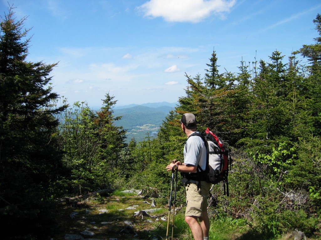
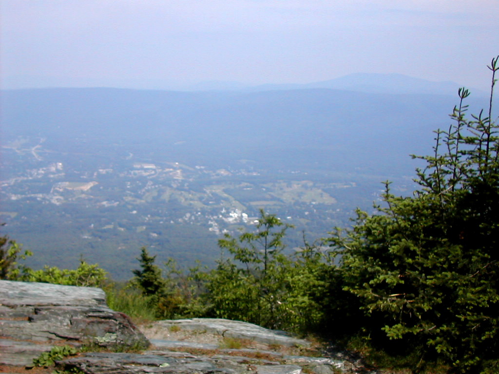 View from Lookout Rock |
Very soon I arrived at Lookout Rock and enjoyed a good rest and lunch stop. The views to the east were great and the setting was very nice. The bugs were around but as at the summit they were not biting. I got moving again a little before 3:00 PM and took the Yellow Trail, which followed the ridge line down slightly to the east (left) of the other trail. This way I could get to the B&B Trail and bypass the radio transmitter. I did this, and in about 7 minutes arrived at the B&B Trail and headed down.
Steep trails are hard going up, but also going down, especially ones such as this that had an elevation change of around 1000' per mile. My Lekis got a good workout keeping my quads and knees from getting too much stress. But it was nevertheless faster going down than up. I arrived at the trail head in about an hour and a half from Lookout Rock. My total hike was just about 4 hours.
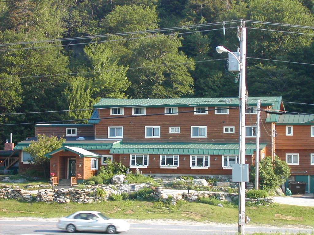
 Mrs.Gorp's House in Wallingford |
Soon I was picked up by Mrs. Gorp who had come with her son. I seemed to have but one ich on the back of my neck, so the
toll from the bugs was slight. Soon thereafter I was sitting by her pool enjoying a cold one and some barbeque. And
what was I drinking? You guessed it - Long Trail Ale! It had been a good day!
| O |
The Coolidge Range consists of the peaks of the Green Mountains roughly between Vermont Route 140 and US Route 4. The main peaks (from north to south) are Pico Peak, Killington, Little Killington, Mendon and Shrewsbury. Since I also wanted to hike on trails other than the LT, I chose a route starting at the Inn at the Long Trail on Route 4, following the old route of the LT (now renamed the Sherburne Pass Trail) up over Pico, then along the LT past Killington and finally onto the Shrewsbury Peak Trail over that peak and down to a road in the town of Shrewsbury. This route also goes close to Little Killington and about a mile from Mendon, so I left open the option that I would bushwhack to those two peaks as well.
A second goal was to see if I could find the several places where the LT used to go along the east side of Mount Snowdon (a minor peak between Killington and Pico). The trail had been moved to the west of that peak some years ago to avoid the ski trails on the east side of the range. I would also document and photograph the spot where the Mendon logging road (a steep trail at that point) intersected the LT just south of Killington. Hopefully this might be of some help to future peak baggers who attempted Mendon from this direction.
I had stayed over at Mrs. Gorp's house and after breakfast we got an early start. She would not be hiking today but offered to shuttle me to the start and finish. She decided to save time (and to allow her to hang out at her pool all afternoon) by spotting her Jeep at the end of the trek, and then drop me at the start on Route 4. So off we went, she in her Volvo, me in her Jeep through back roads to the old CCC road in the town of Shrewsbury to drop the Jeep. We found the parking lot which seemed to be the trailhead, and there was a trail there, but there were no blazes. Well, how far away could the real trail be if this wasn't it? Surely I would find the Jeep quickly if I ended up a short distance up or down this dirt road. I was a bit skeptical of this plan, but since this was the only place that
 The Inn at the Long Trail |
And so after taking a few pictures, I got started up the trail at about 10 minutes before 8. The temperatures were already in the high 70s at this point (even here at around 2200') so I could expect a hot day ahead of me. The trail is initially fairly easy through mixed hardwoods gradually changing to the usual boreal forest of spruce and fir. After about a mile, I reached Sink Hole Brook which the book described as "a permanent stream which disappears into a sink hole". Well, it was not that permanent, since the hole was obvious but there was practically no flow of water.
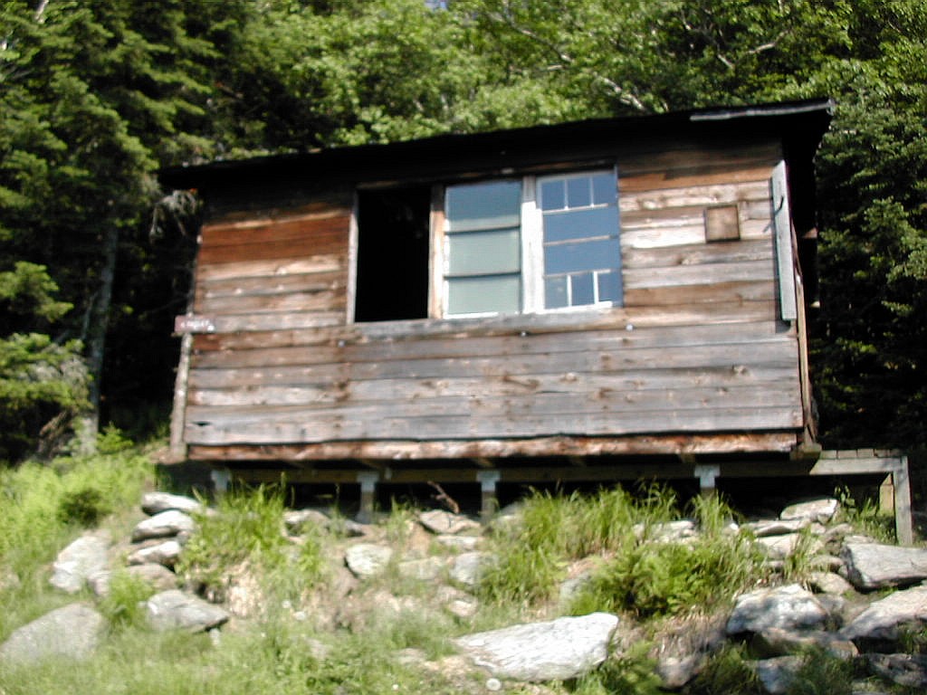 Pico Camp |
The shelter is an old one which sees much less use than formerly since the LT was rerouted away from this route several years ago. It is enclosed, having windows and a door, but was not in the greatest of condition. I dropped my pack here and after a brief rest, headed up to the peak via the spur trail. I had just hiked this peak 2 weeks ago but I was looking forward to much better views today. This is quite a steep trail, rising almost 500' in a little more that .3 miles. The spur trail crosses a pipeline cut which affords good views of Snowdon and Killington to the south.
Upon reaching the summit area, you cross a ski trail, a maintenance road and then come upon the warming hut and the chair lift terminus building. These structures, together with the myriad of pipes they use for snow making were more
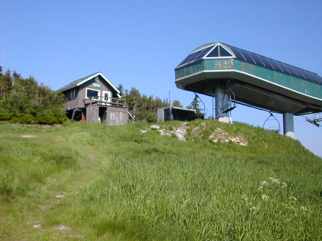 Approaching Pico Peak Summit |
The spur trail took about 15 minutes both going up and coming down. It was the kind of steep trail where you could not really gain any speed going down vs. going up. I reached Pico Camp, picked up my pack and set off the short distance to Jungle Junction where this trail ends where it meets the (new route of the) LT. The name comes from the fact that this area was a "jungle" of blowdowns following the famous 1938 hurricane (the Portland Gale). In fact, Earl Shaffer wrote that there was virtually no trail here and for some miles to the east of Sherburne Pass when he made his thru-hike in 1948, ten years after that storm! He referred to this section as the "missing link". Today there is no sign of this devastation. How nature renews itself!
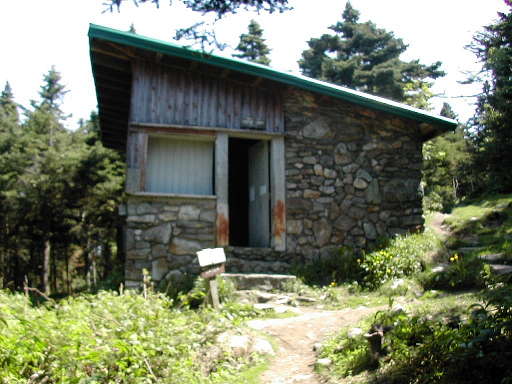 Cooper Lodge |
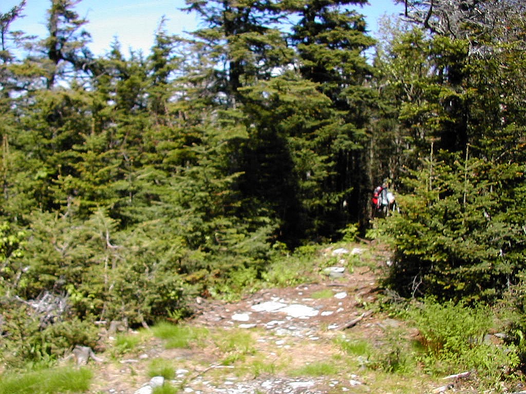
This spur trail rises something over 300' in about .2 miles and involves several rock scrambles. When I reached the top on this hot sunny day, I felt literally exhausted from the climb. As you near the top the views get wider and
 Looking down the spur trail Cooper Lodge is that speck in the upper right |
Once I was down again at the lodge, I took another break and had my lunch. It was around 11:30 and the day was just half done so I felt pretty good. I was however slowing down as the day wore on - the heat was definitely having an affect on my hiking.
My next task was to continue south on the LT and spot the Mendon logging road which comes up and intersects the LT a short distance from Cooper Lodge. I timed my walking and in just 6 minutes I found the spot. I would estimate it lies between .2 and .3 miles down the trail from Cooper Lodge and about 50' of elevation above the lodge, at about 3950'. This logging road is just a trail at this point, hardly a road, and can be seen going down at about a right angle to the LT through relatvely open forest. It also continues up on the other side but is somewhat more obscure on that side. There were several small tree limbs lying across the entrance on the downward side as if some trail maintainer had put them there to
 The Mendon logging road from the LT (just a trail at this point) |
I was considering another bushwhack to Mendon today, but not by this route. I had done the bushwhack two weeks ago from this logging road, starting from the bottom where it originates at Brewers Corner. My route that day started about a mile further down the logging road from where I was now. Today's attempt was to be from Little Killington, which was about a mile further south along the LT.
This section of the LT has very little elevation gain or loss for more than a mile from the Cooper Lodge to Little Killington. The trail skirts little Killington a short distance to the east and I was on the lookout for an approach to that peak that was not too thick. As I reached the height-of-land, it looked very thick and the day was getting rather hot so I did not relish the thought of putting on long pants and long sleeves to do a bushwhack. I went a little past the height-of-land and I think the best approach would be from a point a little past the high point where the trees seemed to thin out in the direction of the Little Killington peak. The thickness of the brush together with the heat and my waning energy level convinced me to give up the idea and I went on down the trail. It turns out this was a very sound decision.
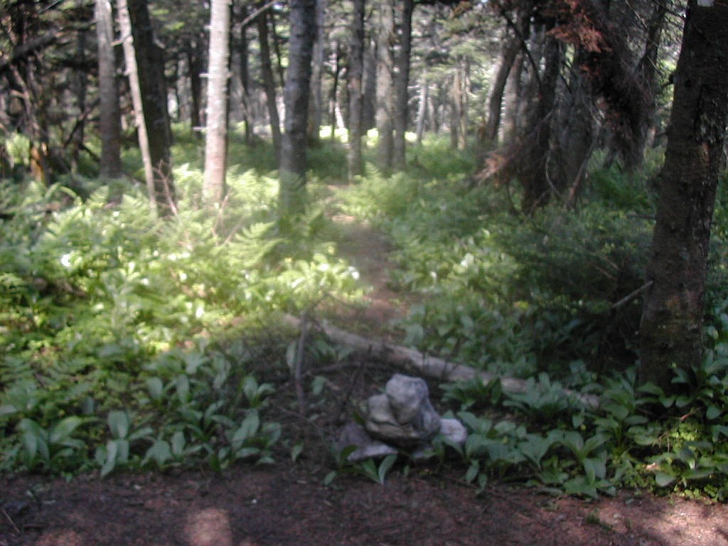
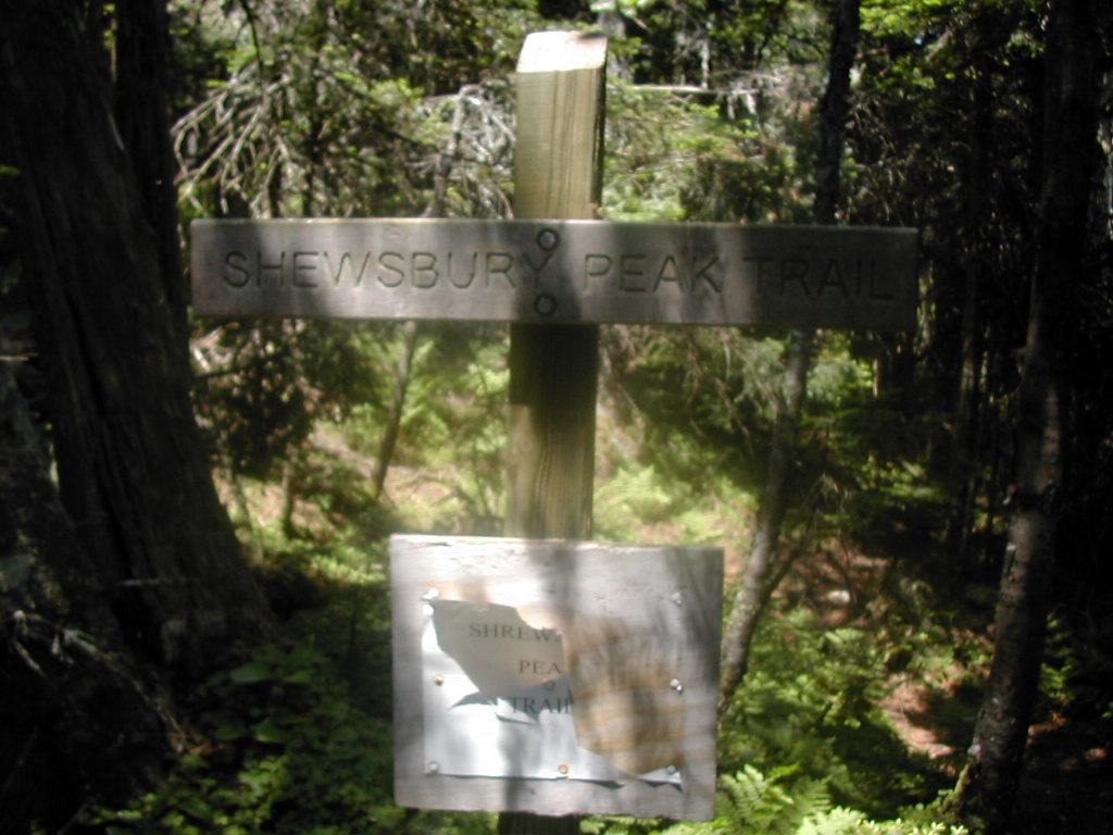 The Shrewsbury Peak Trail |
The trail climbs gradually through pleasant woods for another 1.4 miles,ultimately reaching a height of 3720' at the peak, about 600' above the low point. Normally this type of slope would be no problem and I would make good time, but now with my water virtually gone it was tough going. I have known this feeling before - in doing long training runs
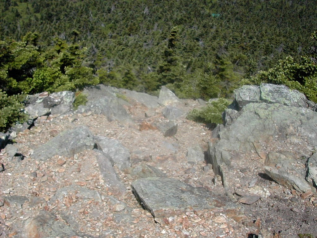
 View from the false Summit |
I arrived at the summit and was disappointed since there were no views and all you could see were some recent blowdowns around the summit area. I continued a short distance and to my surprise there was a sign pointing down to the left to a shelter. I didn't check if there really was a shelter down there and I later learned that this was the Black Swamp Trail, an alternate route to the peak from the southeast. (According to the book, the shelter is a log lean-to called the Shrewsbury Peak Shelter, about .3 miles down from the peak.) But just after this trail intersection, the trail started up again and there was the true summit before me, a rocky outcrop with nice views in several directions! This was more like it. If you approach this peak from the north, remember it's the second peak that's the real one. But the bugs knew
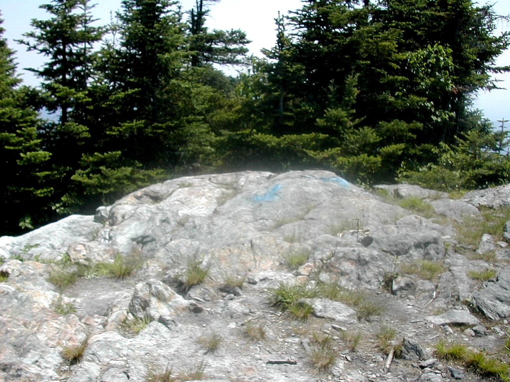 Shrewsbury Peak Summit |
It was all down hill from here (well, almost) so I figured I was home free. The trail down on this side of Shrewsbury was considerably steeper that the approach I had taken from the north. I'm glad I did this from the direction I did. The elevation dropped about 1300' in 1.3 miles. I reached a low point before the last obstacle - Russell Hill - a small knob rising about 150' from this low point. I took a rest here for this little "Matahorn" and sat down on a log next to some shrubs. When I got going again my legs itched like hell where I was sitting. I must have sat on some kind of stinging nettle. I was hot and sweaty, my legs itched to the point of pain and I had to climb this freaking monster of a mountain!
I got hold of myself and plodded on up this tiny monster and was delighted to find another shelter just at the top. This had a sign identifying it as the Russell Hill Shelter. The trail down was very short and suddenly I saw an old well and a chimney, which told me I had made it. This was the trailhead we had scouted that morning. And blazes or no blazes, I was done and there was the Jeep.
But even this ending to the journey was not that neat and clean. I managed to get lost twice on the back roads trying to make my way back to Wallingford, but with the help of the DeLorne Atlas, I eventually did make it and replenished myself with the carefully contrived sequence of nourishments: water, then juice, then beer, then hot dogs.
As I write this a couple of days later, I have 3 bug bites on my legs and probably 3 on my neck, so I did not go totally unscathed. Still I had a great couple of days of hiking in a beautiful section of Vermont.
|
Click here for a consolidated album of photos from these hikes Click here for an album of fauna and flora seen along the trails in May and June 2002 Back to Papa Bear Home Page |