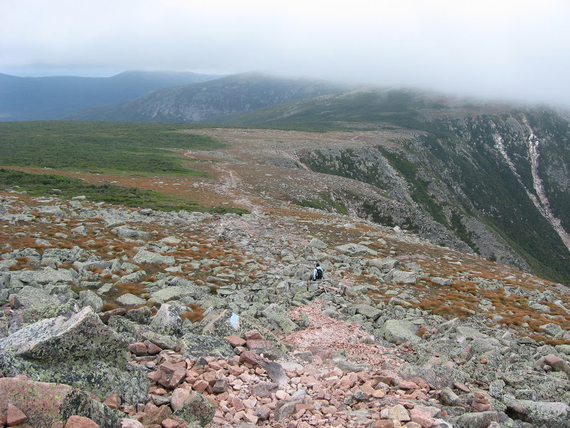
Katahdin Saddle under the Clouds
(Click on this or any picture for a larger image)
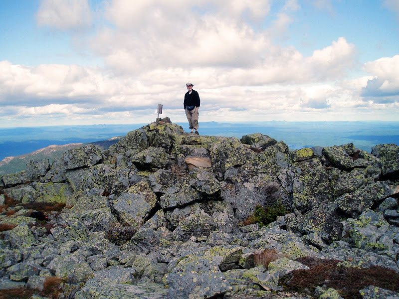
Traveler Summit
(Click on this or any picture for a larger image)
|
Katahdin Saddle under the Clouds (Click on this or any picture for a larger image) |
Traveler Summit (Click on this or any picture for a larger image) |
|
Adapted from posts I made on Views From The Top on 9/19/2008 Back to the Hiking / Peakbagging Page Back to Papa Bear Home Page |
ast week my daughter and I stayed in Baxter State Park for 4 days – 2 days at Chimney Pond and 2 at South Branch Pond. Our goal was to climb Katahdin and the Traveler. The first a must-do on everyone's list and the later one of the most under appreciated gems in the park. I highly recommend you place the Traveler on your own must-do list.
We stayed in Millinocket Saturday night at the Hotel Terrace. We arrived in the late afternoon and were delighted to find out that they have a live band on Saturday night's at the attached restaurant. It was an oldies group (trio of singers with guitar) and an oldies crowd, but we were feeling old , so that suited us fine.
We lucked out as far as rain is concerned. It rained Sunday morning and most of Tuesday. Luckily our summit days were Monday and Wednesday.
unday morning it was lightly raining, and since we knew we weren't going farther than Chimney Pond that day, we were in no hurry. We breakfasted at the AT Cafe and I had excellent raspberry pancakes. The waitress apologized for a delayed order – she said she didn't like the look of my pancakes so she made the cook do them over. Only in Maine!
We got to the Gate by 9:30 and to Roaring Brook Camp Ground by a little after 10:00. It was still raining, but it seemed to be tapering off, so we hung around a bit and finally started up the trail a little before 11:00. Good choice. I finished the hike up with totally dry hiking shoes.
The trail is well known to many VFTTers, but it was a first time for my daughter. I first made this trek in 1963 – just before starting my senior year of college. The trail is in better shape now than it was in the 1960s. I think the recent emphasis on preservation and conservation shows results. And not just this trail, but Chimney Pond Camp Ground itself – I'll get to that shortly. As for the trail, there are multiple bridges over the stream it follows up the valley. I asked the ranger what all this bridge construction was doing in a wilderness park? Simple – the stream fed the water supply for Roaring Brook Camp Ground and they didn't want umpteen thousand hikers per year tramping through it.
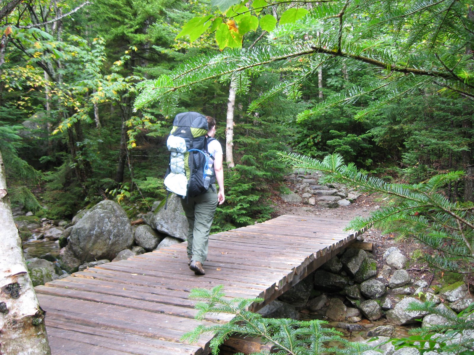 Chimney Pond Trail – one of the many bridges (Click on this or any picture for a larger image) |
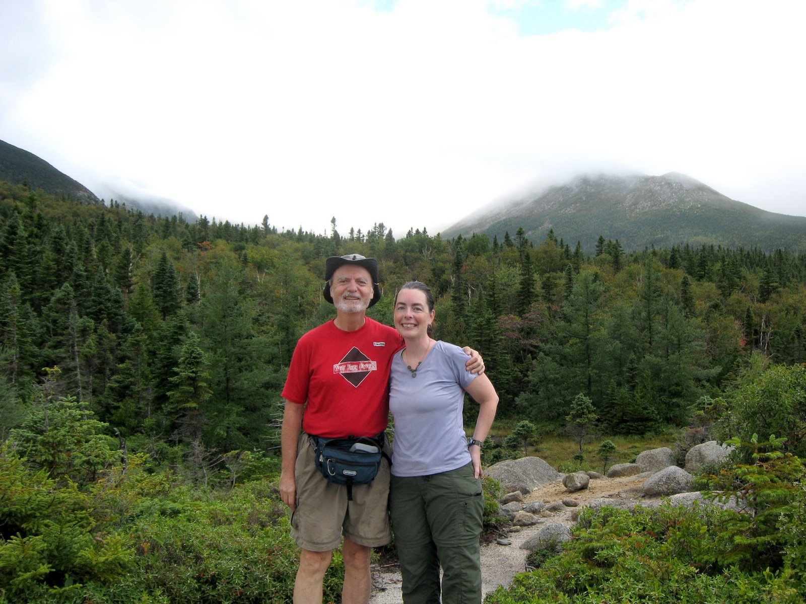 At the viewpoint – the North Basin is in the distance (Click on this or any picture for a larger image) |
The trek was uneventful. We were not fast since we had day packs (for tomorrow) stuffed into our overnight packs, which made up for not having to bring a tent.
We decided to try the Bunk House. Wow! My daughter claimed it was nicer than her apartment. Brand new, with propane lamps and a wood stove. You winter Chimney Pond campers will like this place a lot. And it was rodent proof (or so the ranger said) so we didn't have to hang our food on that silly Bear Line. Here's some inside pictures: Bed Room, Living Room (note the propane lamp on the wall), and the Stove and cooking area.
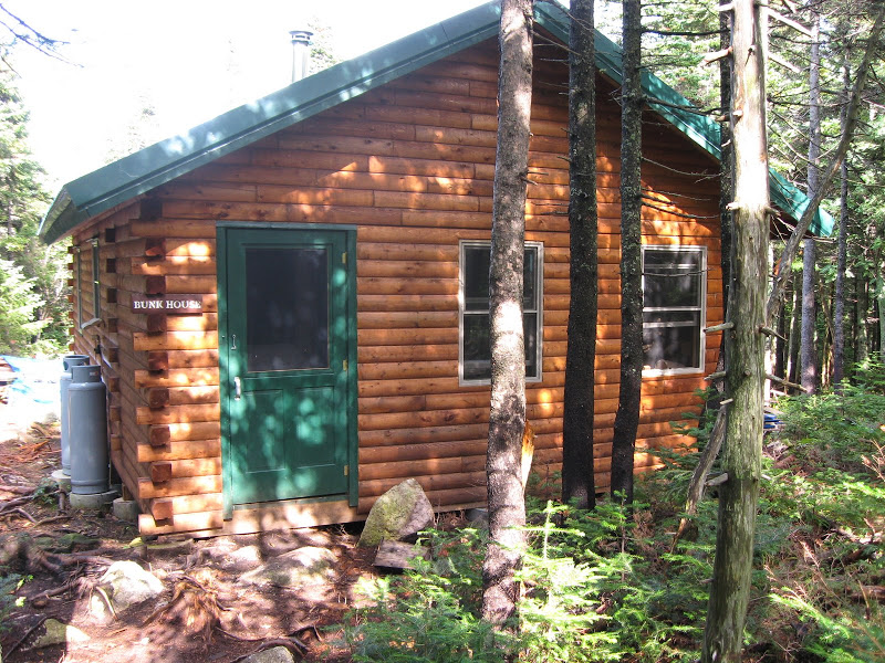 The Bunk House (Click on this or any picture for a larger image) |
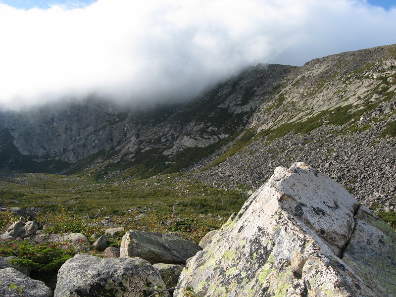 North Basin view from Blueberry Knoll (Click on this or any picture for a larger image) |
And the Camp Ground was as beautiful as ever. One of the most dramatic views east of the Mississippi – believe it!
After settling in, and since it was still early afternoon, we did the 1 mile trek over to Blueberry Knoll, another under appreciated gem. As usual, it was the windiest spot around, with winds probably over 40 MPH. Something about the shape of the North Basin seems to just funnel the wind to this spot. Hey! another item for you must-do list. If you go to Chimney Pond and have a couple of hours to spare – check this spot out.
After supper we did some exploring and I walked along the beach of the Pond. In 1963, the lean-tos were in a line along the beach facing the pond. Beautiful view when you wake up, but not so good for the pond environment. Now all the lean-tos are back in the woods and this area has regrown and reforested. The same goes for the area around the outlet – that's where you are supposed to go to wash anything (but no soap please). That's practically hidden in the forest now. In the 1960s it was like an open pit. Yes, over the long run, things really can get better with proper care. Many of the trees in the campground area are younger than 40 years old so this is a vastly different place from what it once was.
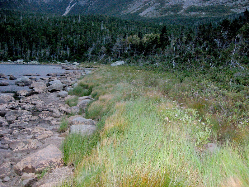 Chimney Pond beach (Click on this or any picture for a larger image) |
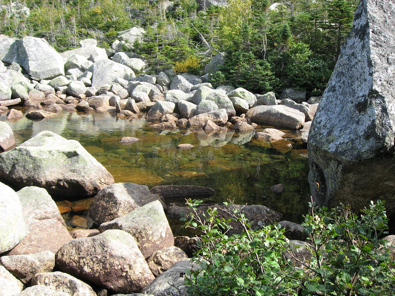 The Outlet (Click on this or any picture for a larger image) |
Tomorrow was our summit day for the big K so we got to bed early. The ranger said a family group of 8 had also reserved the Bunk House (it holds 10) but he thought they might not show up. Thank goodness he was right and we had a very quite bunk house all to ourselves for the night.
Album for Sunday Sept 7th, Hiking up to Chimney Pond: Album
onday moring it was foggy and windy – but there was no rain and none forecast, so it was a go for Katahdin. We had a early breakfast and got moving up the Saddle Trail by about 7:30. We had discussed the Cathedral Trail but decided in view of the fog and possibly wet conditions on the rocks we would chicken out and use the Saddle Trail for both the up and down trips.
From Chimney Pond to the top of the Saddle one word comes to mind – rocks. Big rocks, little rocks, rocks everywhere. Not dangerous and not technical but after a while the myriad rocks just tended to p#ss you off. (But just wait till you see the Traveler – As Crocodile Bear once said: Rocks? Those ain't rocks ... This is rocks!).
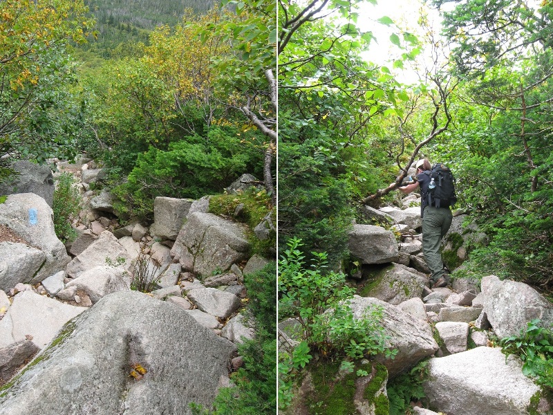 The so-called trail (Click on this or any picture for a larger image) |
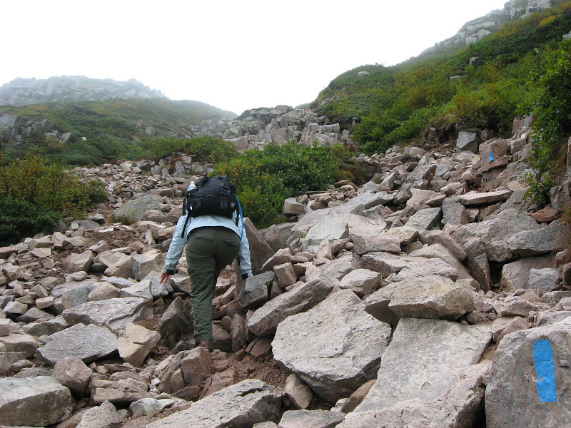 On the slide (Click on this or any picture for a larger image) |
One of the remarkable things about this trail which is largely in the sub-alpine zone is that instead of Spruce or Fir, the vegetation is largely hardwoods, primarily Dwarf Birch. And until we hit the Table land the views were fantastic, if a little foggy.
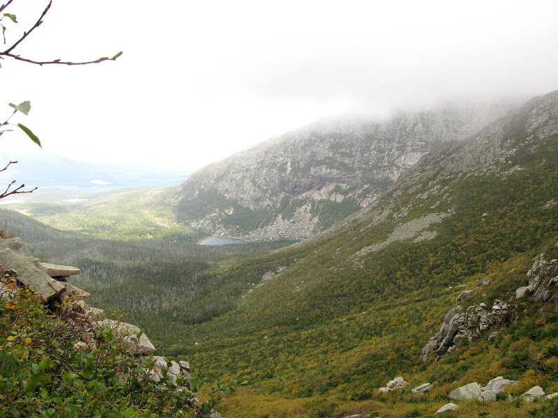 South Basin with Chimney Pond far below (Click on this or any picture for a larger image) |
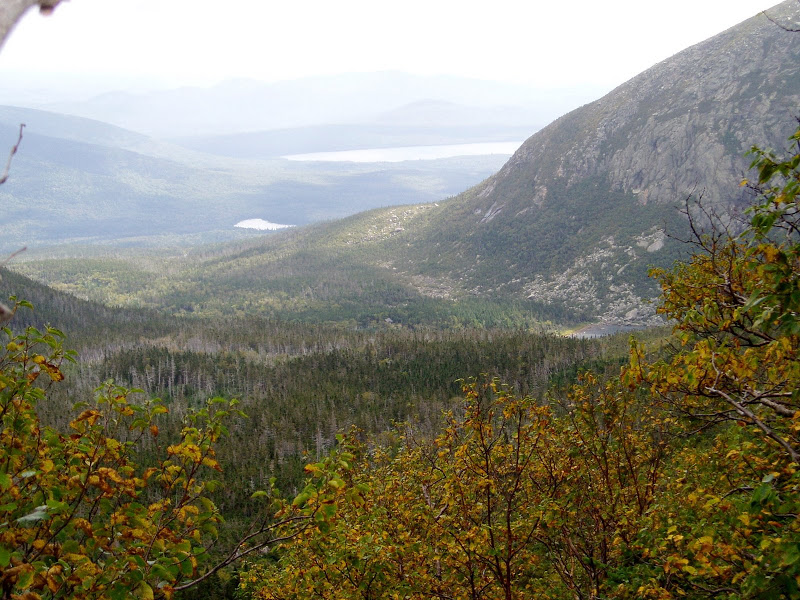 Basin Ponds, Katahdin Lake in the distance (Click on this or any picture for a larger image) |
When we did hit the top of the Saddle – Wham! The wind hit us like a hammer. I'd estimate 40 – 50 MPH – enough to knock you down if you were not careful. And foggy all the way to the summit. Ironically, this was the windiest spot. It was much less windy at the summit. But the going was so easy compared to those rocks! Almost like a real trail.
We made good time and soon arrived at the iconic AT sign and tall cairn. There were perhaps 20 others up here while we were there but interestingly, almost all came from Chimney Pond. There was no glut of Thru-hikers as one might expect at this time of year. Maybe they were all holding out till the next day in hopes of a sunny day (alas, such a day would not arrive till Thursday). I think there may have just been 2 AT hikers. But we did meet VFTTer Daxs (Carol) who came up from Katahdin Stream. She recognized me from my avatar.
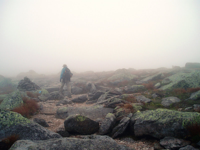 Trekkin along through the fog (Click on this or any picture for a larger image) |
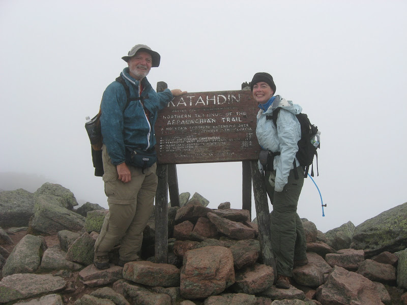 The obligatory summit photo-op (Click on this or any picture for a larger image) |
Of course, knowing me, there were also the benchmark shots.
Going down is some times tougher than going up, but in this case the Saddle Trail was pretty gentle and so it was quite a bit easier. And what is more, the fog lifted (at leas a bit). We got a great view across the Table land and spotted the Brothers Range and the view of the Saddle itself was breathtaking.
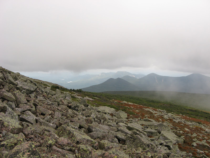 Under the fog across the Table land (Click on this or any picture for a larger image) |
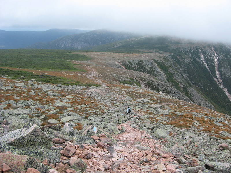 The Saddle (Click on this or any picture for a larger image) |
But we were soon out of the high winds and we went down the slide and thence the trail itself. And those dwarf birches made excellent conveniently placed branches You could tell from the shinny bark and just the right places that many a hiker had grabbed these coming down this trail.
And tired but happy, we arrived back at Chimney Pond, our home away from home. A great day on the big K!
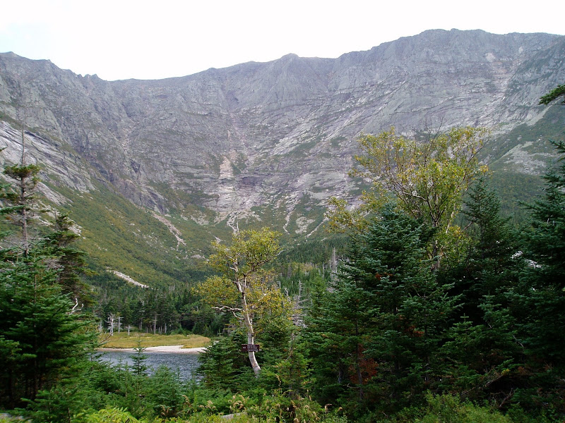 Chimney Pond under the big K (Click on this or any picture for a larger image) |
Album for Monday Sept. 8th:
Album
Katahdin Benchmark Logs:
Log 1,
Log 2,
Log 3
And one to straighten out the mess there:
Katahdin Confusion
ot much to do on Tuesday. But actually it was our biggest mileage day. In the morning we made our way back down the Chimney Pond Trail to Roaring Brook Camp Ground. It was actually very symmetrical – the last half mile or so it started to rain very lightly. Just the reverse of out trek up this trail. And luckily once again my hiking shoes were hardly wet.
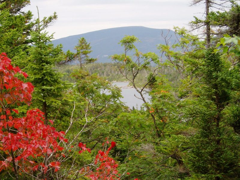 Sights of South Branch Pond (Click on this or any picture for a larger image) |
Once on the road there were unfortunately no views to speak of. Even the moose that is always at Stump Pond seemed to be taking the day off.
It took about 2 1/2 hours to do the tote road, and we met maybe 5 cars max coming the other way. But South Branch Pond was a lovely site, even in the rain. Once again we had the bunk house to ourselves. Let's face it, this wasn't even car camping. More like a motel room (of course with no power and an outhouse).
But having a little extra time and energy. we drove down the road and did the short walk (not quite a hike – just a walk) to South Branch Falls. And who should we bump into on the way was Daxs again with her husband. But unfortunately they were leaving the Park early the next morning, so we would not be bumping into them on the Traveler. Well, the falls were not quite Niagara (not even the Niagara on the Hunt Trail, let alone those in NY), but hey, this is Piscataquis County. What ever!
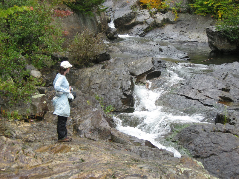 South Branch Falls (Click on this or any picture for a larger image) |
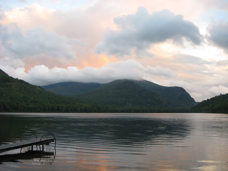 Sunset over South Pond (Click on this or any picture for a larger image) |
Albums for Tuesday Sept. 9th: Album for South Branch Pond
won't beat around the bush, the Traveler Loop in one sonnavab*tch! At 10.6 miles, it took us over 9 hours. Easily harder that Katahdin from Chimney Pond (which my daughter, from Portland Oregon, says is harder than Mount Hood from the Triangle Morrain!)
Last night it looked like clear but much cooler weather had arrived, but then sometime in the middle of the night I was answering a Call of Nature and it was raining! Hey, that didn't seem good at all.
But when we dragged ourselves out of bed at 6:30, the sky was partly to mostly sunny – and quite a bit cooler. One might even say cold, at least for this time of year.
The loop consist of 3 peaks – Peak of the Ridges (3254'), the Traveler (3541'), and North Traveler (3152'). The 3 peaks, together with a prominent largely open mile long ridge between the second two, form part of an old volcano – said to be the highest volcanic mountain in Maine and possible the entire East Coast. the Traveler is the highest mountain in Maine north of Katahdin.
A trail was cut between Peak of the Ridges snd North Traveler in 2004. Prior to that, one had to bushwack from one or the other to reach the Traveler, which stands between them on the loop.
There is as yet no published trail description for the new section, but the ranger station had handouts. For those interested, I've scanned these and you're welcome to them if you may want to do this hike. See the images in the log below or in the trypic at the end of this section
I had hiked here twice before. In September 2004 with Rambler and Spencer which ended with us turning around short of the main peak due to cold wind and rain. Then on a foggy day in August 2005 I soloed the loop starting at North Traveler and doing the loop clockwise. Both times we ended up going down the tough rocky steep slope of Peak of the Ridges, which is NOT the recommended way.
Today would hopefully the first time to see the terrain in real sunlight.
We got a 7:40 start which we hoped would get us back by 6:00 PM (the written description says it's usually a 9 — 10 hour trek). We could not envision hiking the downward section (at either end) in the dark.
The trail up along the Lake is flat and pleasant and then the turn for the Center Ridges Trail starts climbing up to Peak of the Ridges. After an initial section through steep but easy terrain, you start hitting the rocks.
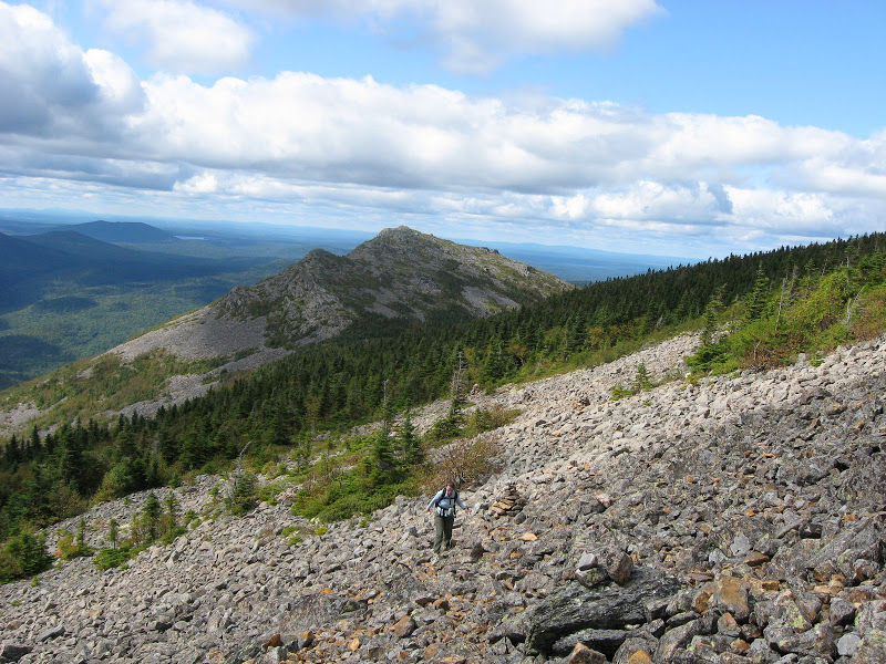
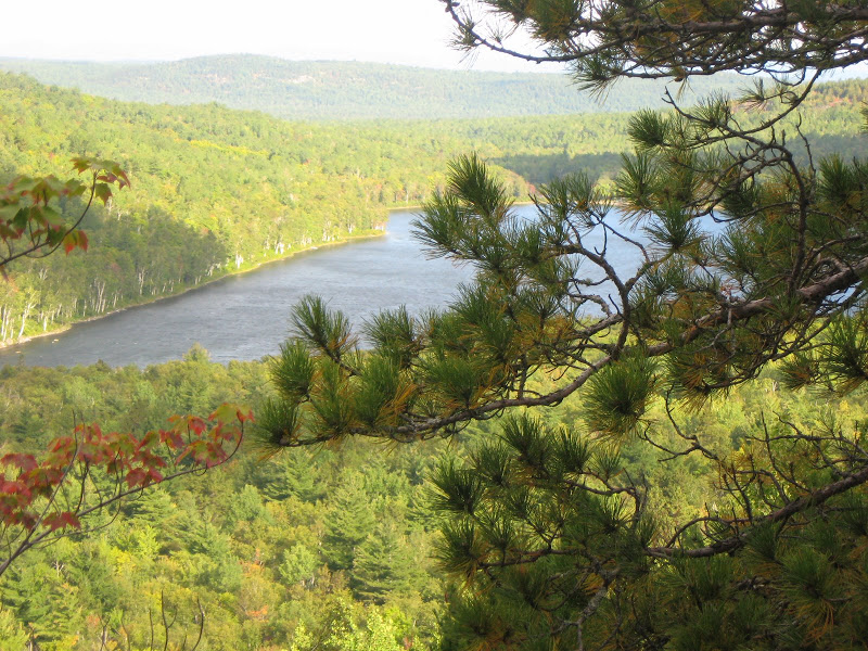 First just easy uphill hiking (Click on this or any picture for a larger image) |
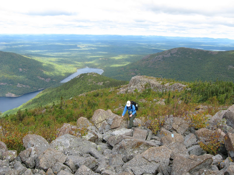 Then you hit the rocks! (Click on this or any picture for a larger image) |
The rocks are relentless and all just the wrong size to allow any rhythm to develop. Just very slow and tiring unless you happen to be a mountain goat!. After numerous false summits, the summit arrives . But there is still more fun – the so-called "Little Knife Edge". Not a technical challenge, but another obstacle along the way.
Meanwhile the views open up in all directions and one sees the countless lakes to the north and west up into Arroostook County and back to the south the countess peaks in Baxter including the king of all, Katahdin. Which was in the clouds most of the day.
We hit this peak a good 4 hours after the start, and we were not yet at the half way point (which would be at the Traveler itself, next along the ridge). So it would be a long day. But I knew this peak was near the half way point in difficulty, if not in distance, so hopefully we would still make our deadline.
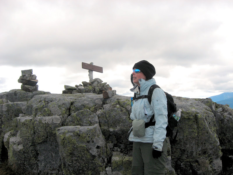 Peak of the Ridges - it's cold! (Click on this or any picture for a larger image) |
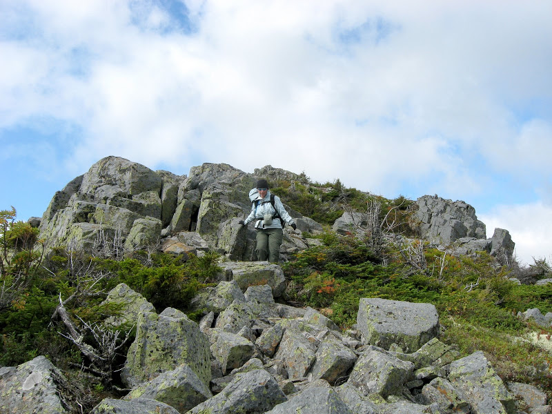 Coming down the other side (Click on this or any picture for a larger image) |
That summit had extraodinary views. In addition to what we had seen from P of the R, we could now see the meandering East Branch of the Penobscot, which drains Grand Lake Metagamon (love that name) and it is said that 19th century loggers, driving their logs down that river, gave the mountain it's name, since it seemed to Travel along side of the rive as they drove their logs along.
 Over rocks to the summit (Click on this or any picture for a larger image) |
On the Traveler summit (Click on this or any picture for a larger image) |
And what self respecting summit would not have a survey marker? Well, the Traveler had not one, not two, not three, but four markers (and of course I found them all).
As they say, it was all down hill from here. Once past the Traveler, the going was quite a bit easier. There were actually two cols to the next peak, with a long open ridge between. These were delightful Dwarf Birch areas and quite lovely.
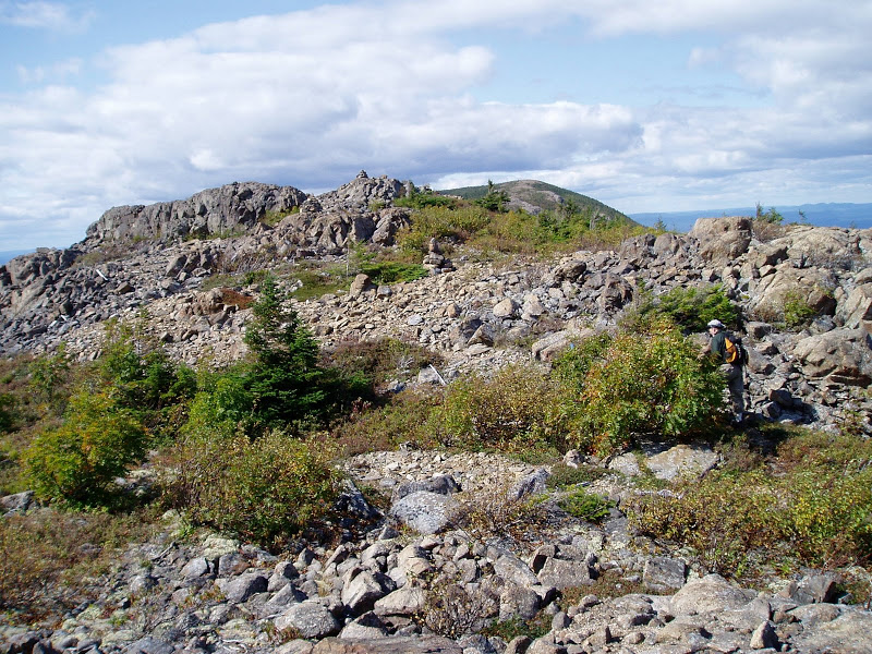 Moving up to the Ridge (Click on this or any picture for a larger image) |
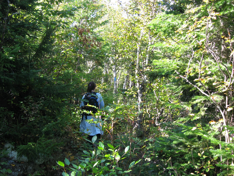 In the col to North Traveler (Click on this or any picture for a larger image) |
The last peak, North Traveler was a series of open ridges interspersed with sub-alpine meadows with great views ...
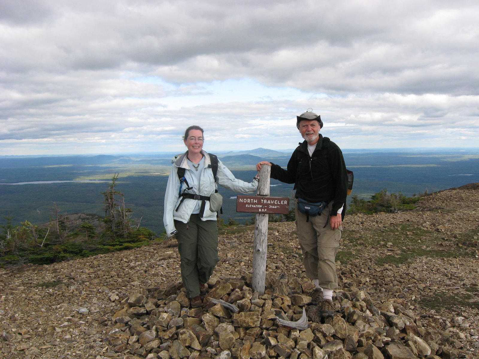 The North Traveler Sunnit (Click on this or any picture for a larger image) |
... but there was one surprise coming. The North Traveler ridge went on for much of a mile past the summit, and just ended. What was there? Well, nothing! Or I should say if you kept walking you'd end up in mid-air. The surprise was a sheer cliff with a little path along it's edge (complete with gravel and skree to slide on).
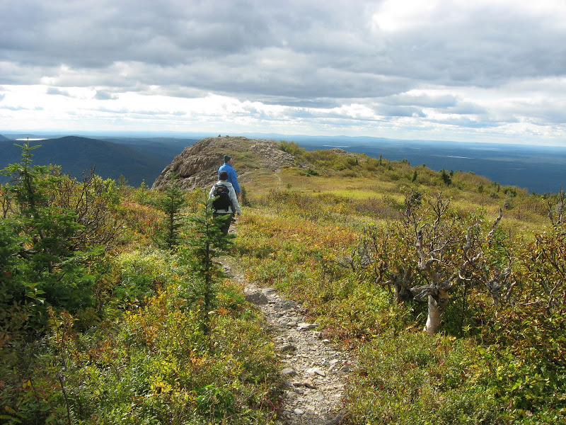 The North Traveler Ridge (Click on this or any picture for a larger image) |
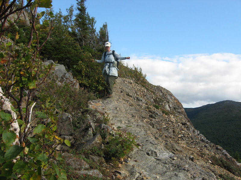 And then comes the cliff (Click on this or any picture for a larger image) |
My daughter said "I can't do this". But then "Well, if we are to get home I have to do it. It's all good!".
But all's well that end's well, and we arrived safe and sound at the camp ground at 5:00 PM – after just over 9 hours of hiking.
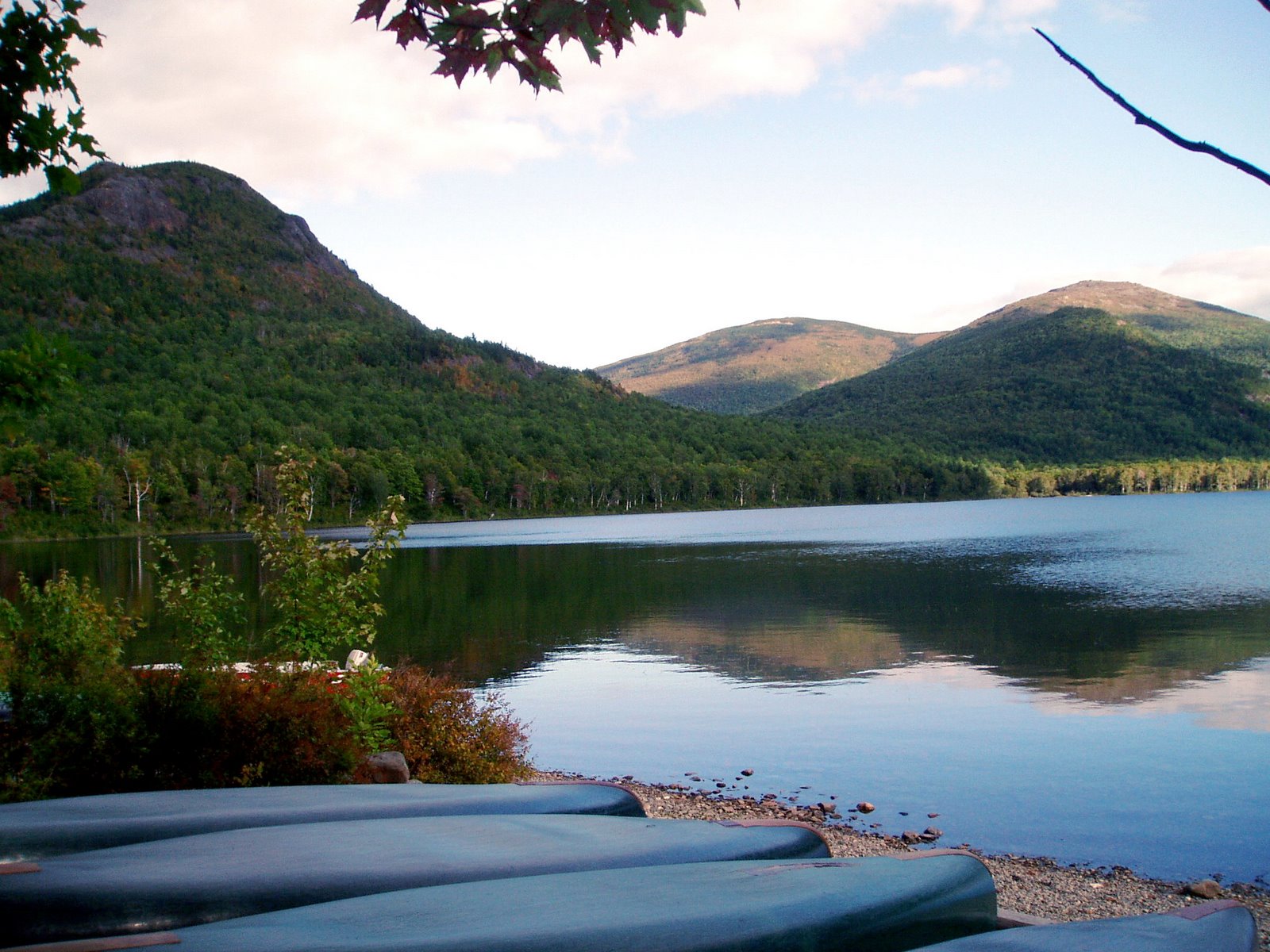 Day is Done (Click on this or any picture for a larger image) |
Album for Wednesday Sept. 10th:
Traveler Loop Album
An album of compulsive signage:
South Branch Pond Signage
Traveler Benchmark Log:
Traveler Benchmark Log
Some graphics from the album:
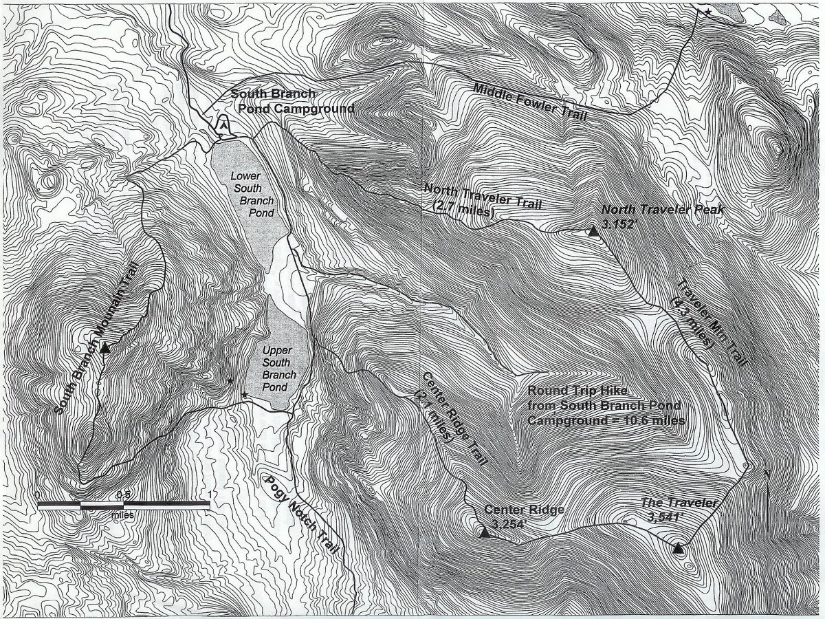 the Traveler Loop Map (Click on this or any picture for a larger image) |
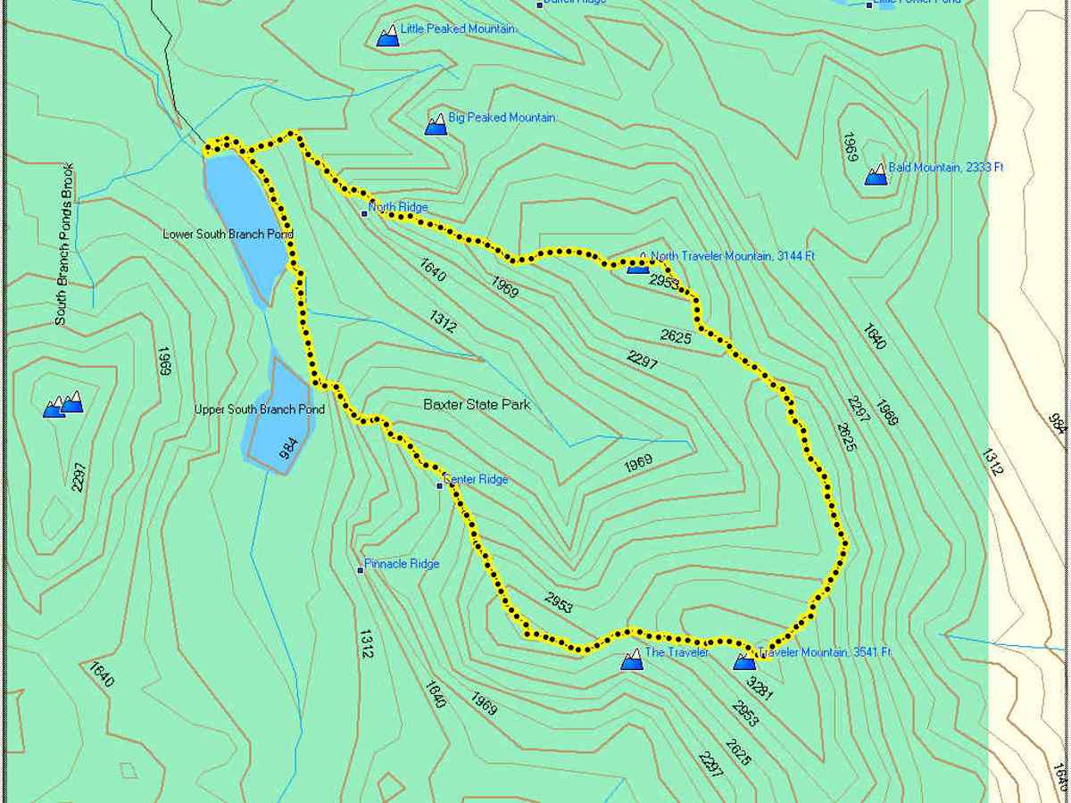 Photo of the Traveler Loop Track LOg (Click on this or any picture for a larger image) |
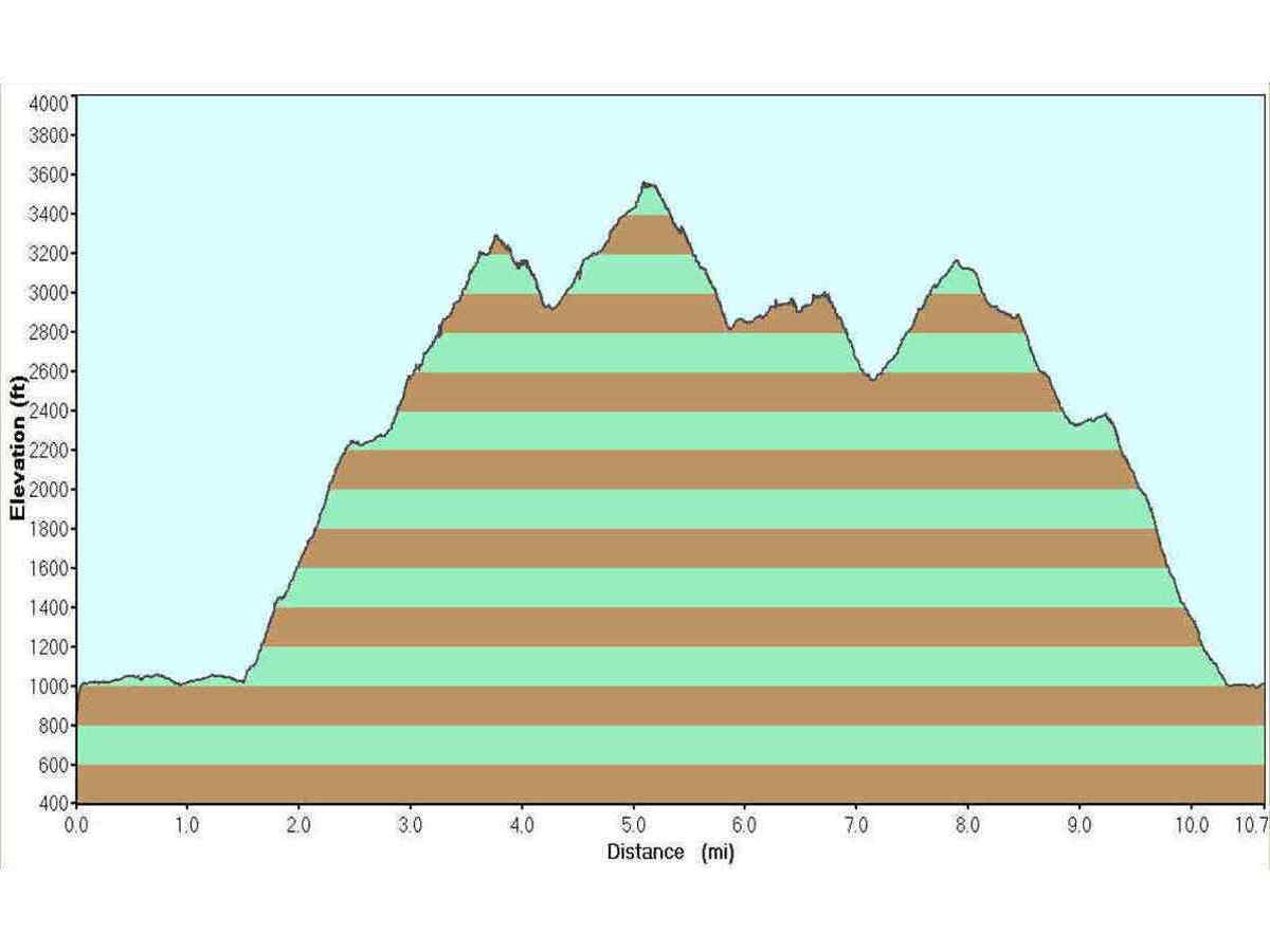 Photo of the Traveler Loop elevation profile (Click on this or any picture for a larger image) |
|
Adapted from posts I made on Views From The Top on 9/19/2008 Back to the Hiking / Peakbagging Page Back to Papa Bear Home Page |