Shakedown Hike: The Battery Loop - March 26, 2002
by Papa Bear
Goals of the Hike
- Route: Read the narative below and see if you recognize the route
- Distance: Around 10 miles.
- Purpose: 1) To test that last week I really didn't injure myself. Today's hike was with a lighter pack
for a shorter distance (i.e. get sensible) and to make sure everything feels OK. 2) To test some wet weather wear.
- Weather: Gray. Drizzle to light rain. Low 40s.
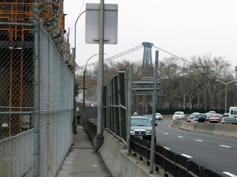
The Entrance to Con Edison Notch
|
oday's hike was along some very familiar territory quite close to where I live. As I started (about 9:20 AM)
the sky was a chill threatening gray. After about an hour it started to rain lightly and continued between a drizzle
and a light rain till I finished around 12:40 PM.
I started out along the Estuarius Orientalis and very soon approached the narrow gap along it's
western edge called Con Edison Notch. At places, the pathway is no more than 18 in. wide with
danger very close on either side. The name derives from some old structures in the area whose
function I do not understand.
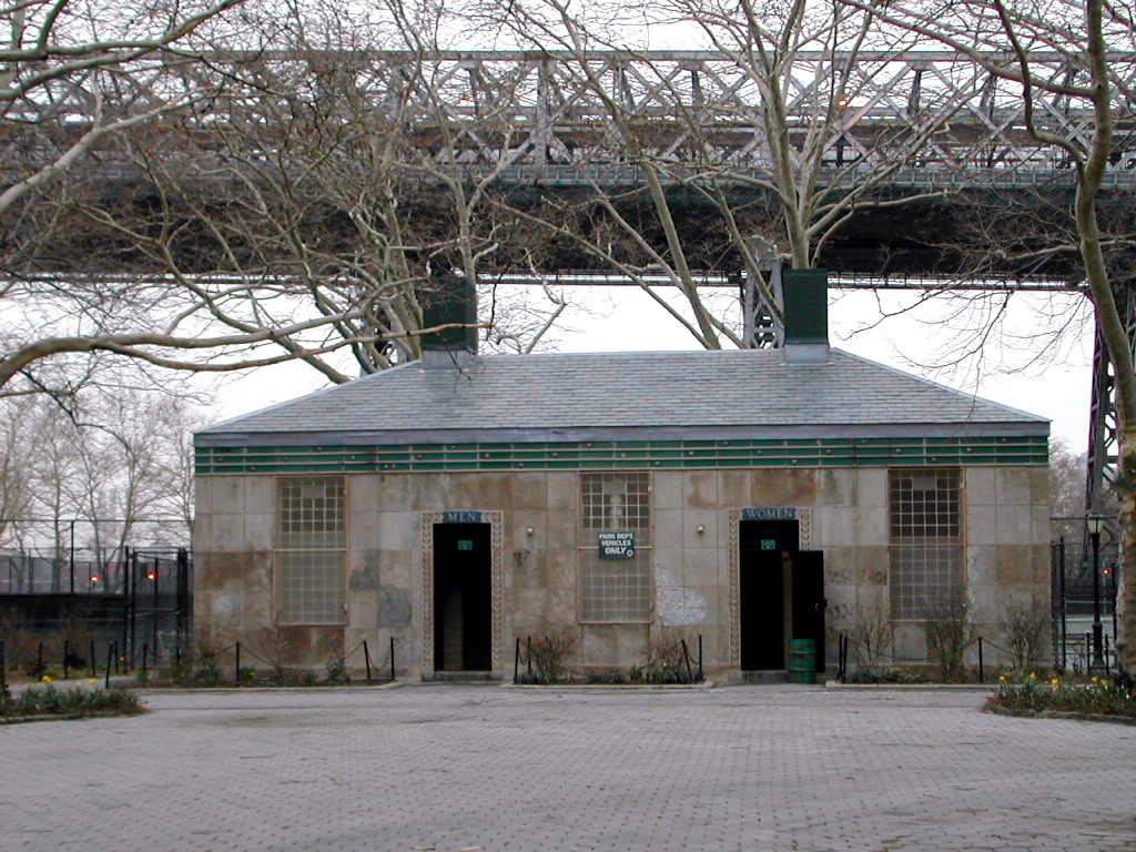
A Recently Renovated Privy
|
Signs of Trail Maintenence
|
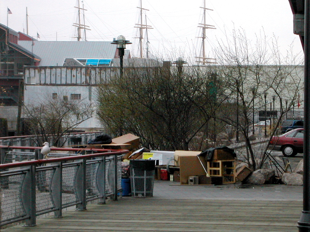
After passing through the notch, I entered the Estuarius Orientalis Forest Preserve.
The trail crews have been active in this area this spring. Here is a shot of a recently renovated privy.
The locals call these structures "Restrooms". I don't know the derivation of the term.
It's not a place to stop and rest.
And Here is some evidence of some recent work by the trail Maintenance crew.
A Two Tier Trail
|
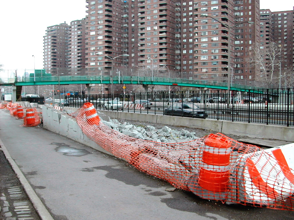
Stealth Camp
|
At the southern end of the preserve, the path is built as a clever two-tier structure. The upper level
is for horses, I guess.
I noticed some recent evidence of stealth camping. This is not strictly allowed in this area.
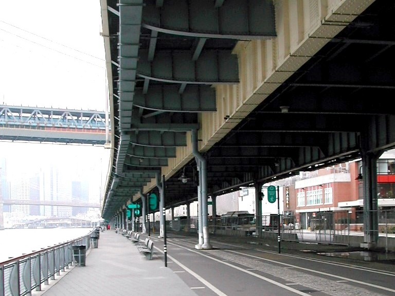
Two Bridges
|
Trail Markings
|
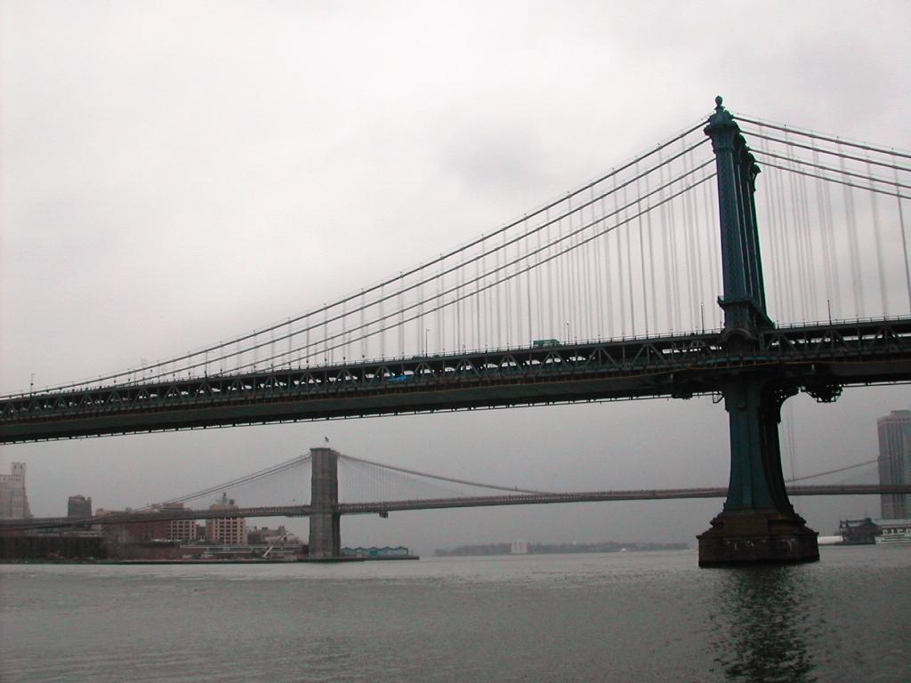
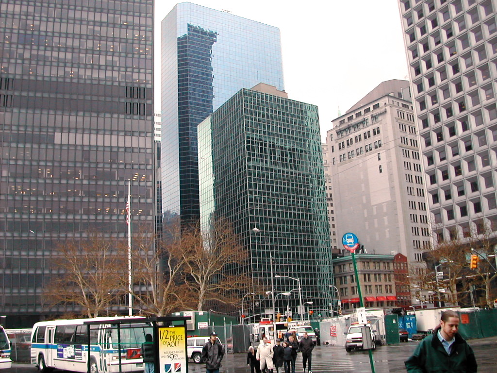
Very soon I approached the Two Bridges Wildlife Refuge. The bridges themselves are named for the two
land masses that they span. In the foreground is the Manhattan and in the background the Brooklyn Bridge.
Why two bridges are needed in such a short section of trail escapes me.
The Trail markings are very clear in this area.
The Street
|
The Battery
|
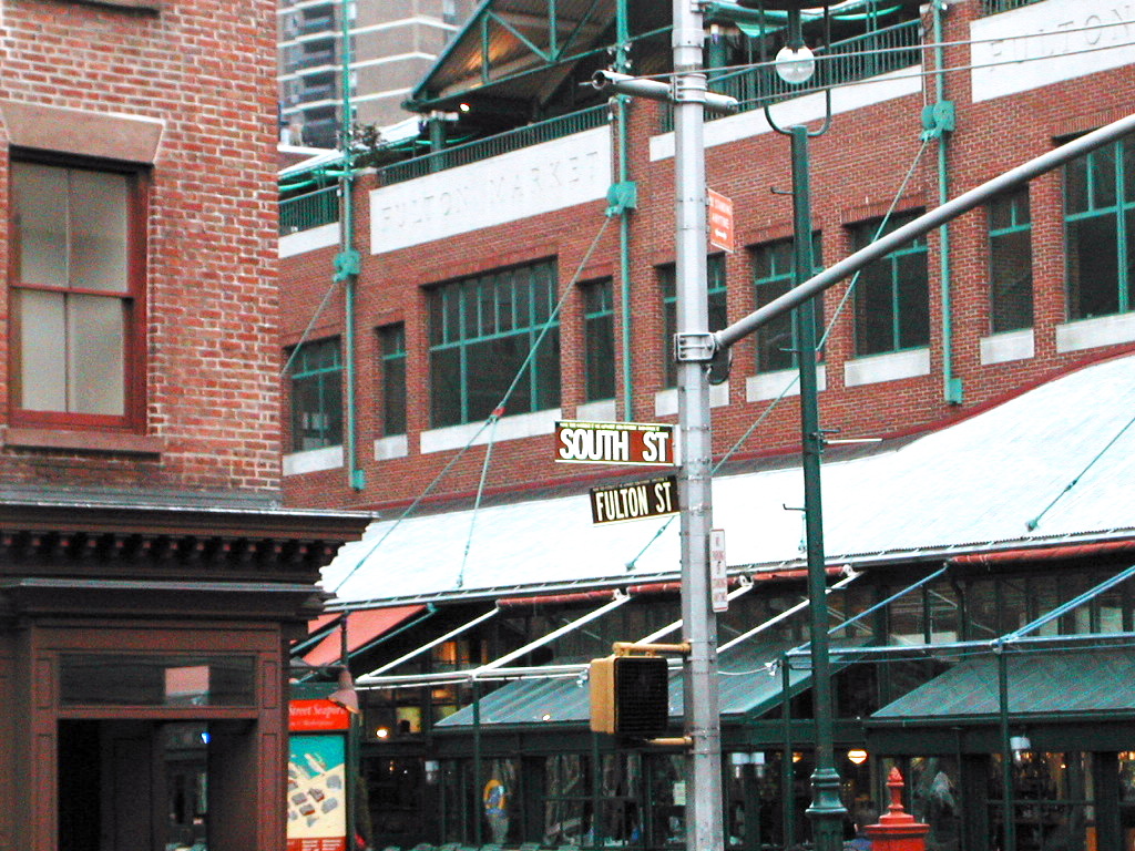
This is a view of a very popular blue blazed trail cutting through a very steep sided canyon
known as "The Street". History says an earlier tribe built a wall across the island at this point, so the
canyon is sometimes still known as "Wall Street".
This section of the area is called the "Battery", evidently named after some revolutionary war fortifications. The current structures appear to be man made.
Trailside flowers
|
An Abandoned Rail Crossing
|
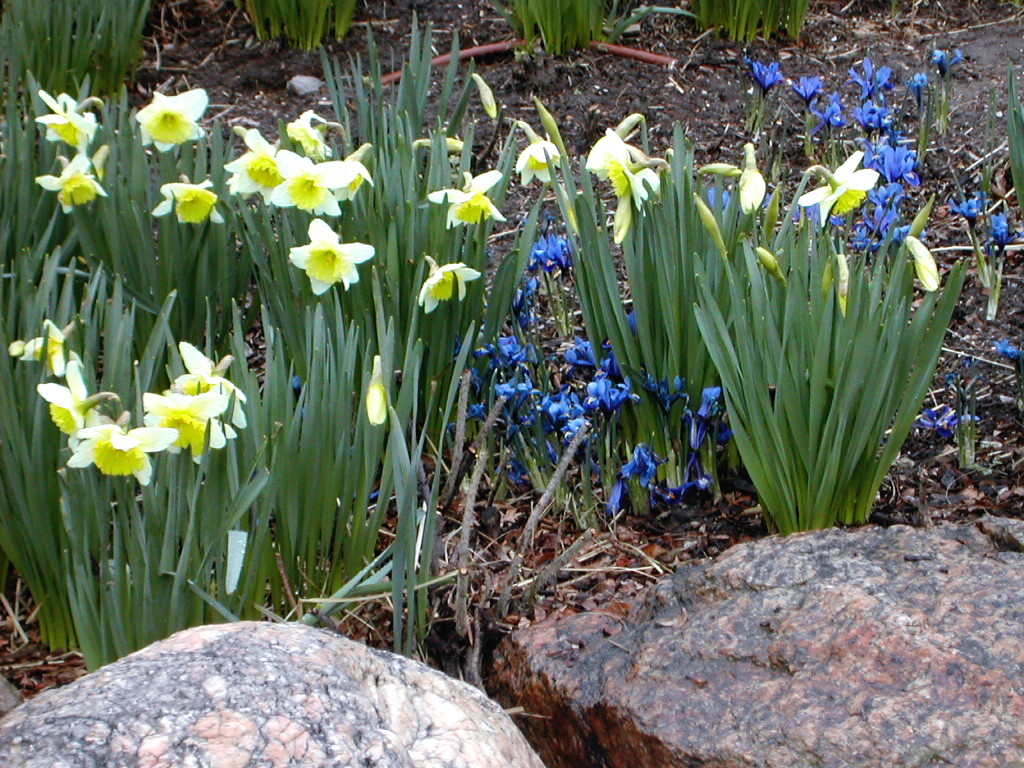
After passing the Battery, I continued north along the eastern shore of the Estuarius Borialis. This
major estuary apparently originates in the far northern reaches of New York State. Note the splendid floral
specimens along this section.
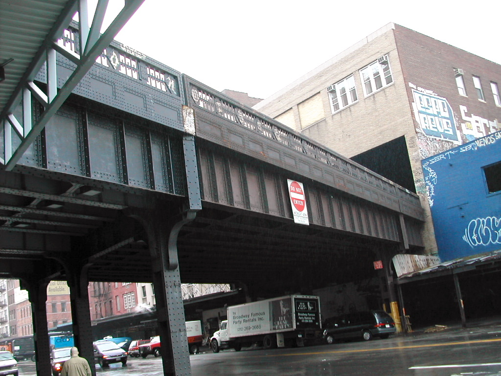
Several miles further north I discovered an abandoned railroad right-of-way crossing the path.
Ratus ratus newyorkensis
|
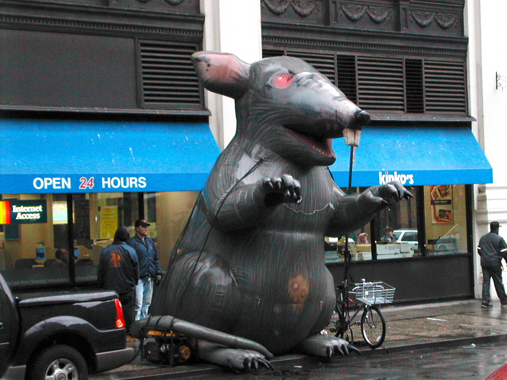
I soon reached the Twentieth Street connector. This cuts across the island all the way back to my starting point.
An interesting specimen of local wildlife is shown. I was lucky to get this shot: it's a magnificent
specimen of Ratus ratus newyorkensis. This particular animal is evidently the mascot of a local indigenous tribe
called the "strikers". Aparently it strikes fear in the hearts of their adversaries, the "Bosses and Scabs".
My trek was ending. I was feeling fine inside and out and I had managed to stay warm and dry.
Summary
- Pack: I had reduced the pack weight to under 20 lb. Things felt rather good the whole way and there was
no repeat of last week's pain. I will now slowly increase it to the full weight over the next 10 days.
- Shoes: My right small toe bothered me a bit as it had two weeks ago. Part of the problem for my feet was
the fact that today's hike was all on hard surfaces. I will aggressively look into this problem.
- Clothes: I decided to stick with my medium level rain gear: the water repellant Buffalo Activity Shirt rather than
the Full Monte of my Frogg Toggs. Under today's light rain the Buffalo shirt kept me quite warm and dry underneath.
Well, next stop is the real thing. AT here I come!
Pb