
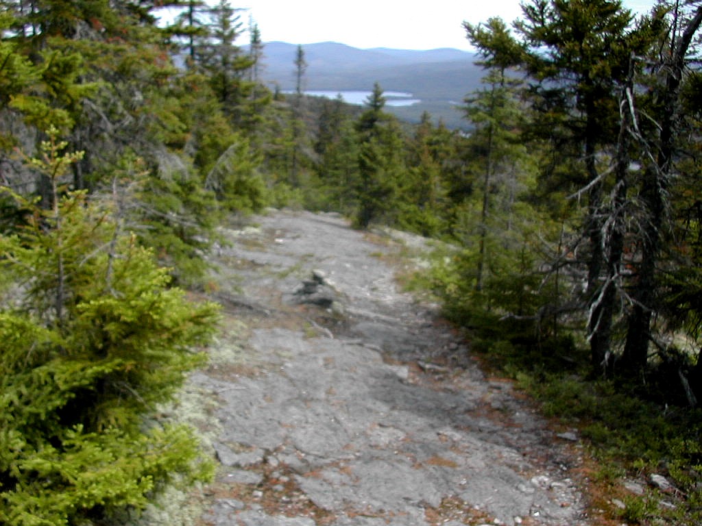
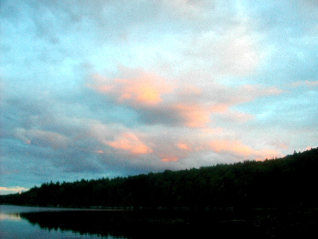
Bigelow West Peak
(Click on this or any picture for a larger image)
|
Bigelow West Peak (Click on this or any picture for a larger image) |
|
Click here for a complete album of photos from this hike Click here for an album of wild flowers seen along the trail Click for Papa Bear's Home Page Click for the Backpacking Page |
started the day in Andover, Maine. The previous day I had done the bushwhack to Elephant Mountain with Sectional Scot and Nadine. They were planning on doing another of the New England 100 Highest in the Rangeley/Stratton area so I got a ride with them. We had breakfast at a nice diner on Route 16 and then Nadine drove me through Stratton, down Route 27 and dropped me at the AT crossing a few miles out of town.
I got hiking at 9:25 AM. The weather was a cloudy 65°. Route 27 follows a gap between the Crockers and Sugarloaf to the west, and the Bigelows to the east. South of the trail the area is known as the Carrabasset
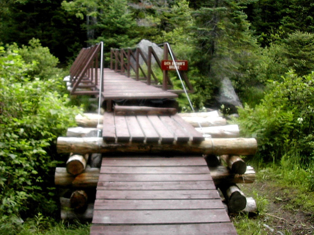 The last bridge in Maine |
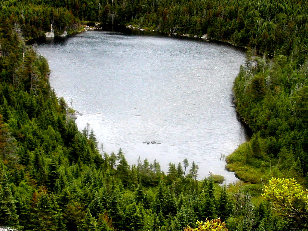
The trail starts rather easy and in about a half hour I crossed a fairly substantial foot bridge over Stratton Brook. Bridges are rare on the trail in Maine and I think this is the last one all the way to Katahdin. I'm told there are just 3 in all of Maine but I'm not sure that includes logs across streams (like the scary one between Pierce Pond and the Kennebec). A steep rocky section follows and then the trail flattens out again and the soon passes a very pretty sub-Alpine bog about an hour past the bridge over Stratton Brook. The trail skirts around the bog and then the real climbing begins. The Cranberry Peak Trail - a short cut to Stratton - comes in from the left and the trail then starts the long climb up the ridge line to the Horns. These twin peaks show themselves from several points along the ridge and after about an hour and a half from the bog I arrived at beautiful Horns Pond, which sits just under the twin peaks of the Horns. There is a campsite here with a caretaker and a number of small lean-tos. Just as I arrived to take my lunch break, a group of teen age girls were starting out up the mountain. They also mentioned that a group of younger boys had started earlier in the same direction. I got the impression that it must have been crowded here the previous night and I hoped I could hike past these groups today to avoid a crowded night tonight. I guess summer weekends in the Bigelows are very popular for camp groups. I
 Horns Pond |
The climb up the Horns was steep and rocky with rock steps for a fair amount of the climb. I reached the side trail to North Horn, and since I try to take very side trail that I can reasonably hike, I climbed the short but steep trail to the summit of North Horn. This is a beautiful peak which offered great views back down to Horns Pond and over to South Horn. Then down I went back to the main trail and soon found myself on the slightly higher South Horn just around 2:00 PM. South Horn is strategically placed to offer awesome views across the Carabasset Valley to Sugarloaf to the south-west, north to North Horn, and across to the Bigelows to the east. This ridge has a very characteristic silhouette of two sets of twin peaks: the close twin peaks of the Horns (at 3792' and 3805') and the taller, more widely spaced peaks of the Bigelows (West and Avery Peaks at 4145' and 4088'). The girls I had seen leaving the campsite were taking a break on South Horn.
At this point the trails got rather busy. I saw no less than 3 camp groups which were doing a hike/canoe combination trip: paddling the length of flagstaff Lake in one direction and hiking the Bigelow Range in the other direction. Flagstaff Lake is an enormous man-made lake that lies to the north of the Bigelow Range and is over 20 miles long. It was formed by a dam built in the late 1940s on the Dead River which flows all the way east to the Kennebec. This river was the principal route of Arnold's ill-fated army making its way across the Maine wilderness to attack the British in Quebec City in in the late Fall and Winter of 1775.
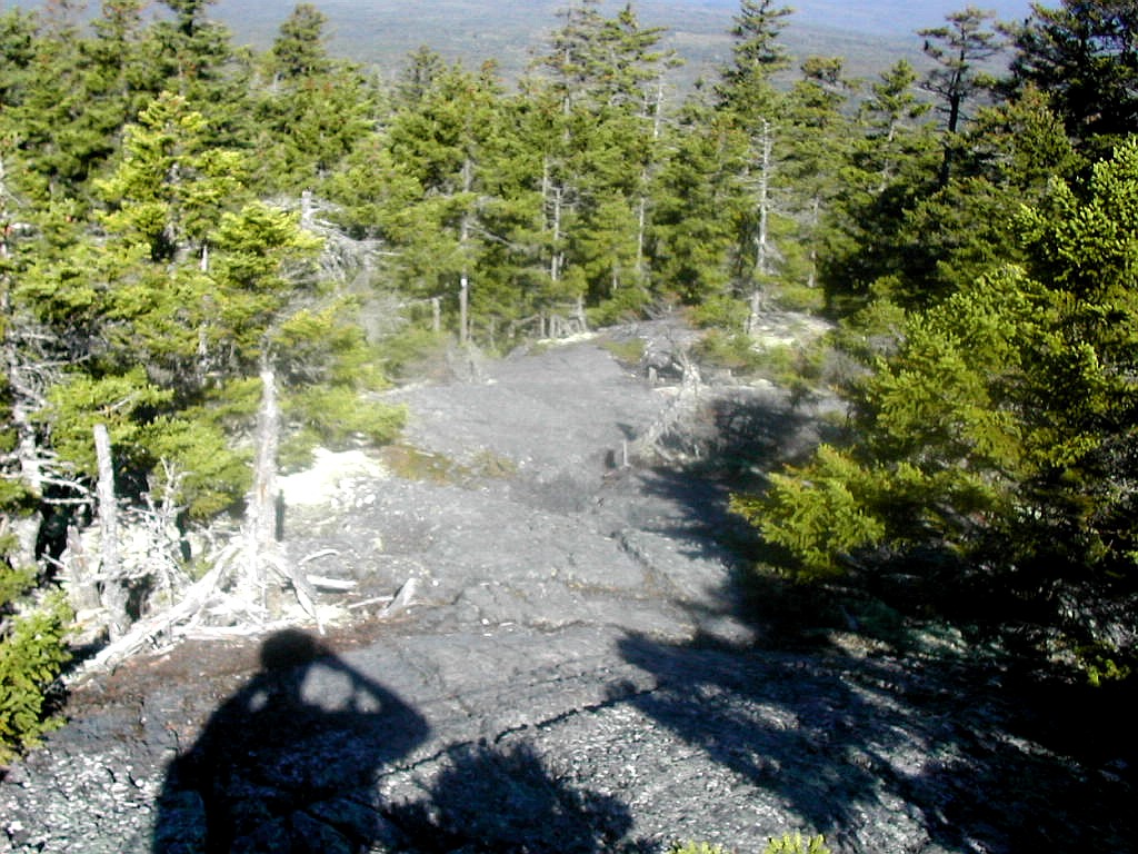
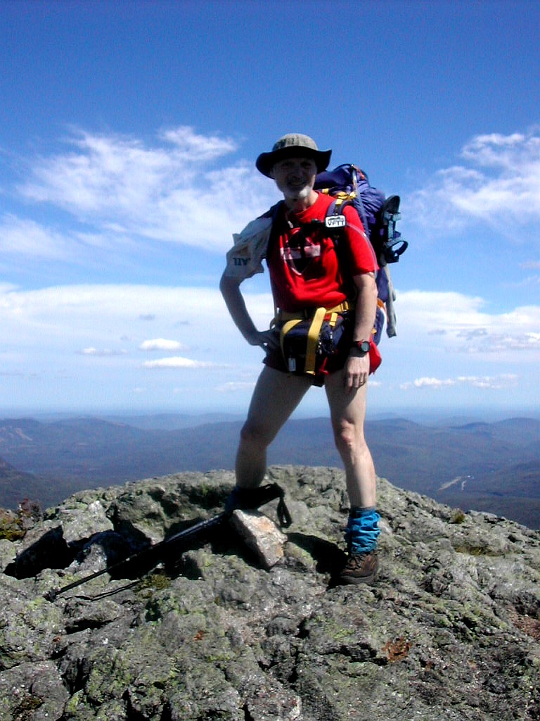 On the summit of Bigelow West Peak |
I arrived at Bigelow West Peak around 3:15 PM. The views here were even more magnificent than from the Horns since now the entire north-east country opened up before me with Avery Peak with its rocky ridge in the foreground. Somewhere out there on the hazy horizon was Katahdin. Flagstaff Lake lay majestically to the north and the Crockers, Sugarloaf and Sadleback ranges lay to the west.
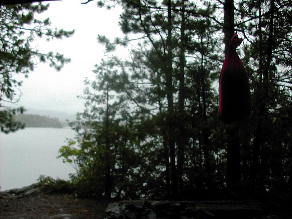
About another half hour's hike brought me to the col where the Myron Avery Campsite is located. Some maps and trail guides still call this the Myron Averey Lean-to, although the actual lean-to was removed some years ago; a plaque marks the spot. This is considered one of the best spots in all of Western Maine to camp due to its high elevation and views. Just remember though, it's cold here at night! But with all the camp groups hot on my heels, I plugged on so as to make it over Avery Peak and stay for the night at the much less popular Safford Notch Campsite, another 2.4 miles up the trail.
The last peak I hit for the day was Avery Peak, and once again I was treated to outstanding views. I passed 3 SOBOs on the way up and at the top by that little stone building (what is that anyway?) I met part of another camp group - 8 boys and 2 leaders in all. These boys were moving south and had just hiked up from Flagstaff Lake where they had Safford Notch (thank God!). On the way down off of Avery Peak I met an older hiker who said he was the trail maintainer for this section and who said he was the father of one of the leaders I had met on the top. He said the group was from a "Literary Camp", an idea I thought most interesting. Words of Longfellow ("Bearded in moss and in garments green, indistinct in the twilight ...") echoed in my mind.
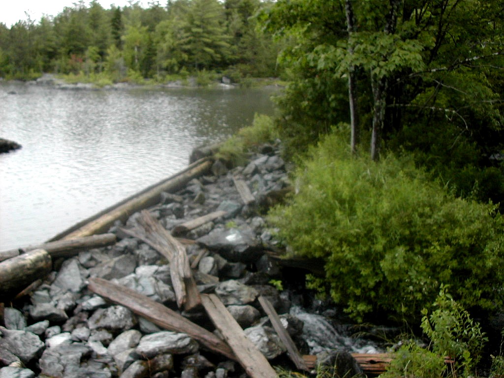
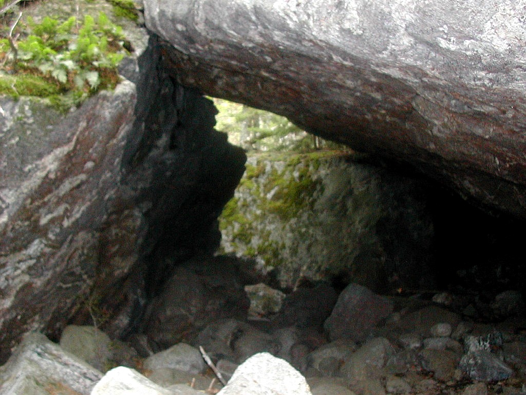 Going under huge boulders on the way to the campsite |
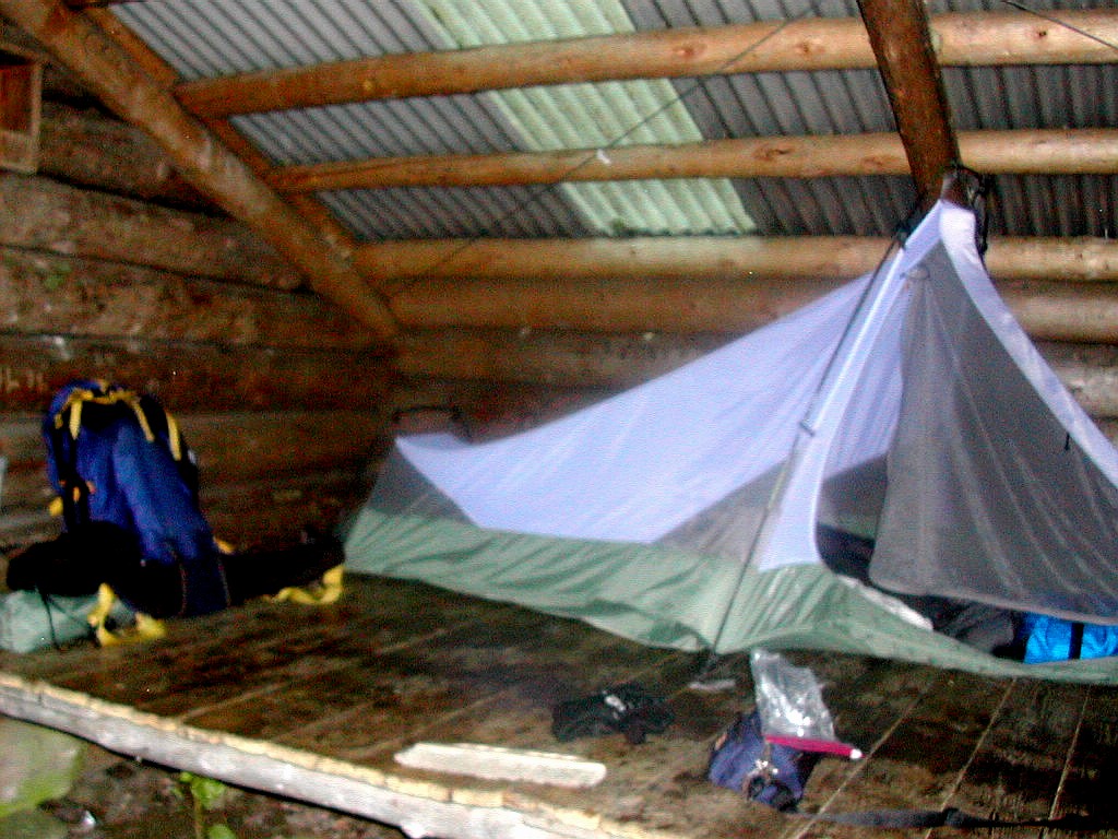
The campsite is located on a side trail which follows Safford Brook down for about a half mile. The side trail goes right through the field of house-sized boulders and in one spot goes under a few, a la Mahoosuc Notch. I finally arrived well after 6:00 PM and found just one other couple camping here in a rather large site. I found my spot, set up my tent and did my evening chores. It had been a long day covering more than 11 very rugged miles with over 9:30 hours of hiking and over 4500' of elevation gain. But it was a beautiful, beautiful day with perfect 60° blue sky weather all day. I was cleaned up and ready for bed when who should appear, but the group,of girls whom I had first seen at Horns Pond and had passed on South Horn. It was close to 9:00 PM and already quite dark, and I was surprised to see them, to say the least. I said hello as they hiked on past me and I heard the sounds of them setting up their camp until I fell off to sleep. A great day but I was really tired.
awoke a little after 6:00 AM to cloudy skies and temperatures around 60° There was no sight or sound of the group of girls that had showed up late the night before. After a slow breakfast and breaking of camp, I was off at 7:56 AM. It's hard to understand why it always takes so long to get going in the morning.
The main task for today would come right away: climbing Little Bigelow, the last of the Bigelow Range. After an hour and a half of rocky climbing, I reached the very indistinct summit. There were a number of successive steep
 Open rocky slabs on Little Bigelow |
The clouds were thinning and the sun looked like it would burn through the clouds. The temperature had risen into the 70°s and it felt rather hot and sweaty. I put on some sun lotion and also took some Advil since my right foot was hurting. Somehow I had managed to hurt my foot yesterday. There were some fair views from the top including a good look back at Avery Peak and the steep sided notch where Safford Notch Campsite was located. The very steep
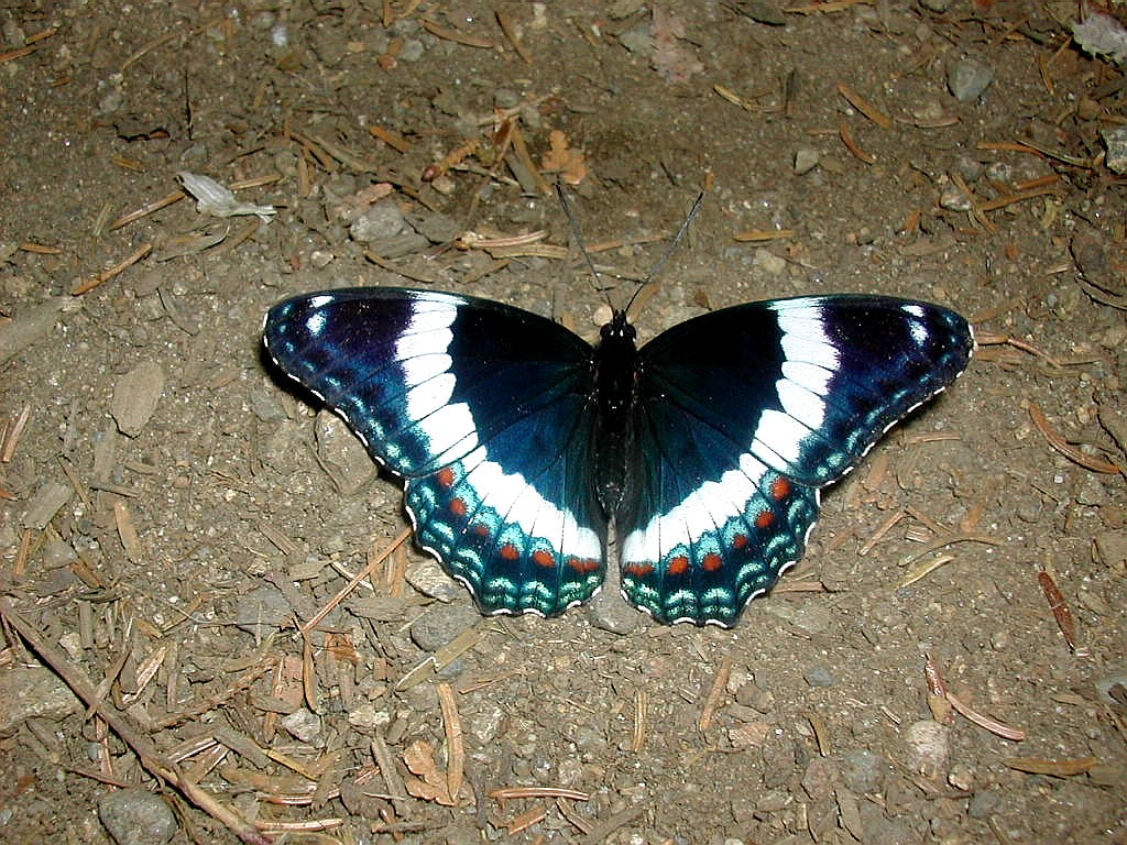 White Admiral Butterfly sunning himself |
After about 2 more hours I reached the Little Bigelow Lean-to and I took a break there. I got a rare treat as I watched a beautiful White Admiral Butterfly sunning himself on the ground just under the deacon seat of the lean-to. I had dropped nearly 1200' from the summit and I was now lower than my starting elevation at the Campsite. The downslope was largely open rock slabs and was a rather beautiful route with constant views to the north-east. The moss cover of the rocks interspersed with Hemlock, Spruce and Mountain Laurel with the sun coming out made for a very pretty picture. The temperature had risen into the 80°s. I passed 5 more SOBOs: Lonestar, Jeff, Barbara, Wonder Boy and Sunshine.
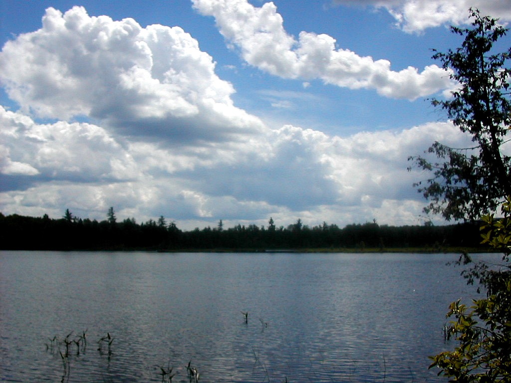
I finally reached East Flagstaff Road, a dirt road at the end of the range and at last came upon the shore of Flagstaff Lake. There was one small hill to cross and then I crossed the paved Long Falls Dam Road. This was marked by a painted "2000 MI." on the pavement, a milestone indeed for northbounders. After climbing Roundtop Mountain, the last of the day, and crossing a boggy lowland, I arrived at West Carry Pond, my destination for the day. This
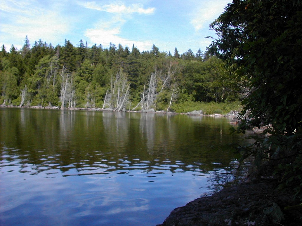 West Carry Pond |
After supper, 2 SOBOs showed up for the night: Clancy and Colonel Sandwichpants (Joe and JJ). They looked rather tired and they were not looking forward to another dinner of Mac and Cheese! I finished my supper and cleaned up but unfortunately the mosquitoes started to become annoying. Then as I was sitting by the lake watching the sun go down, suddenly I got some kind of bee sting on my leg which hurt like hell and swelled up rather suddenly. But my mood changed again when I saw a loon on the lake swimming, diving and calling. Seldom do you see and hear this bird at close range and it was an eerie but beautiful scene.
Around 7:00 PM another hiker showed up and introduced himself as Tent Maker. I joshed him and asked if his real name was St. Paul, but actually I had guessed the origin of his trail name because in real life he was a missionary.
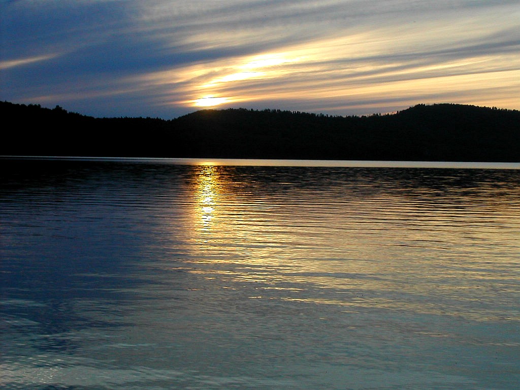 Sunset from the Lean-to |
I was trying to get to sleep but the bugs were so annoying that I finally gave up, and around 8:45 PM set up my tent behind the lean-to and moved in to escape the mosquitoes. By 9:30 PM I was asleep, It had been another great day.
awoke twice in the night to the sound of sprinkles. When I finally woke for good at 6:00 AM, I collected my stuff inside the tent and packed things up from within. I then grabbed everything and made a break for the lean-to. Then I returned and took down the tent but left the fly over the inner tent and brought it as a whole to the lean-to. I managed in this way to keep everything dry but the outer tent fly. I cooked breakfast and got everything ready to leave but it was only 7:00 AM and it was raining lightly but steadily, so I decided to wait a while. I had only 10 miles to got today so I was not particularly worried about making time. The two SOBOs were sound asleep in the lean-to and Tent-maker was no where to be found. I think he hiked on last night or left very early this morning.
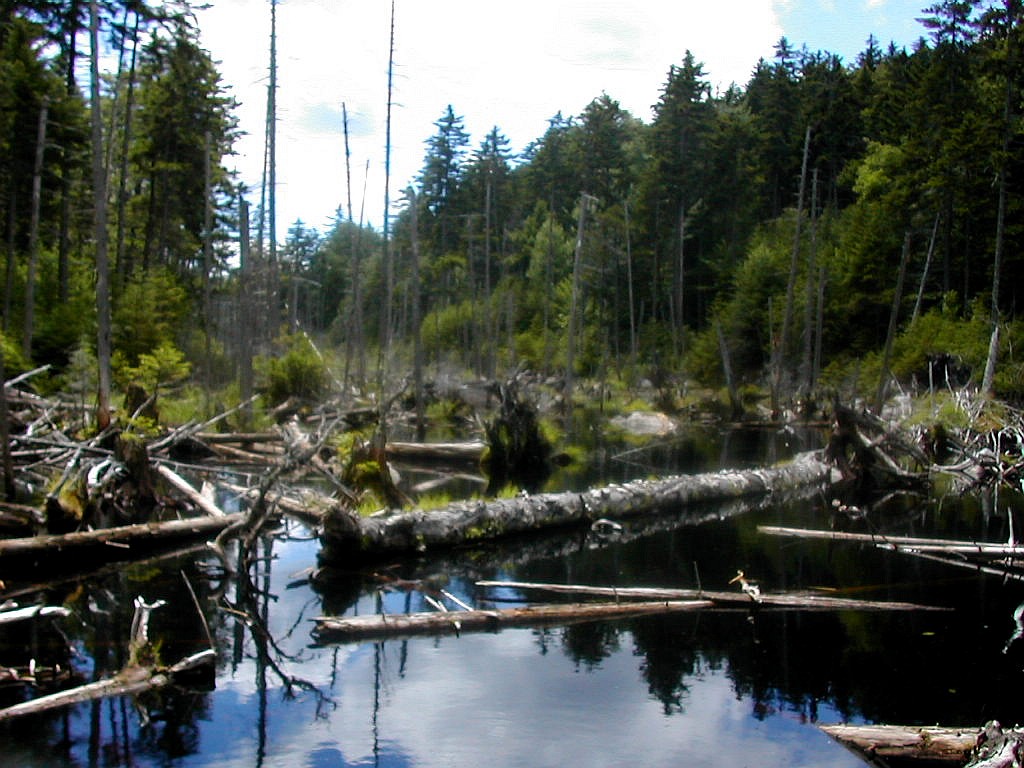
By 9:00 AM it was still raining steadily and I was getting board and a bit chilly so I set off. Today's route passed by Middle Carry Pond and East Carry Pond and across a large boggy area. There would be any number of bog log puncheons across low lying areas. With the steady rain slipping off these logs would be a real possibility so I resolved to take extra caution. Before leaving West Carry Pond I decided to hike out along the long peninsular called Arnold's Point which jutted out about 1/2 mile into the pond a short ways past the lean-to. This was a very nice area, with very little elevation which afforded great views of the pond even in the rain. It might be a nice camping spot except I would expect it might harbor a large mosquito population.
I got moving along towards Middle Carry Pond. This section follows the old Arnold Trail through Arnold's Swamp. Benedict Arnold cut across through this boggy area to get from the Kennebec River to the Dead River (where Flagstaff Lake is now located) to avoid the rapids on the Dead River below Long Falls. Moving along through this area on a relatively well maintained trail, I can't imagine his men dragging heavy boats across this area in the early winter of 1775. The swamp was awesome and was interspersed with a pleasant forest of Hemlock, Cedar and hardwoods.
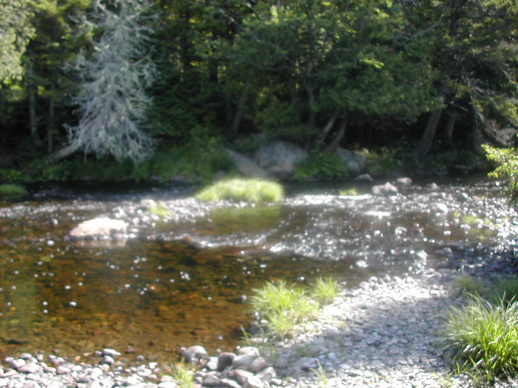
 Pierce Pond in the rain |
The Pierce Pond lean-to overlooks the pond at its south end and is at a truly idyllic spot. I changed out of my wet things and hung up my wet stuff to dry. Luckily everything in my pack was dry - except the tent fly which started out wet. I was the only one around and it was rather nice to be in such a beautiful spot and have it all to myself. But the bugs also appreciated this spot - there were bugs galore! I set up my tent (without the fly) inside the lean-to so I would have a place safe from the bugs, and took a nap. Then I pumped water for supper and the next
 Pierce Pond outlet dike |
I crawled into the tent, which I supported with the ties wrapped around rocks and got to sleep.
I woke suddenly 8:10 PM when a very skinny thru hiker walked in. He immediately said "I met you in Pennsylvania". And he did. It was none other than Demian, of aqua blaze notoriety (click here for story), whom I had seen for all of 30 seconds as he passed me back in May. He said he always remembers a face although he didn't remember my name. So just as with Luck Day yesterday, I was running into the same hikers I had met in May! I told him about Harrison's and so he went over to reserve for breakfast. Later he told be his side of the aqua blaze story. He said he thought he would drown and that he was on the verge of hypothermia when they crawled out of the Shenandoah River after capsizing. That "funny" story about a goofy incident was much closer to a tragedy than I had realized.
I took down the tent over to make room for Demian, but the bugs were bad so I put it up again for bug protection if nothing else. Demian slept fitfully. He was both cold and bug bitten. He was a light-weight packer and he was paying the price for carrying no tent and only a very light sleeping bag.
My right foot was hurting from the bumping it had taken going over the Bigelows. During the night we could hear loons calling over Pierce Pond. Hopefully the next day would bring better weather. But I looked forward to the morning: we would get a super breakfast at Harrison's, and later in the morning we would cross the Kennebec!
was up at 6:00 AM with temperatures in the high 50°s, cloudy and humid but no rain. We were due at Harrison's for Breakfast at 7:30, but since there was no reason to dally, I got packed up and hiked the few tenths of a mile over to Harrison's a little after 7:00. Demean showed up a little later and we sat on the porch overlooking the stream
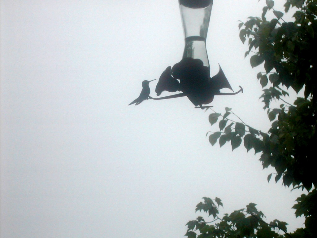 Hummingbirds at Harrison's |
I found that Demean was a 20 year old from Norway Maine and he gave a few more details about the near tragic disaster when he lost his pack after capsizing in the Shenandoah in May. Soon we were seated and served an enormous breakfast of pancakes at Harrison's. The owner explained that the regular customers got there via 20 miles on a dirt road that originated in Bingham, quite a ways down on the west side of the Kennebec. I enquired of his rates, thinking what a beautiful place this would be to bring my wife. But with a 3 night minimum at nearly $100 per night it was out of our price range.
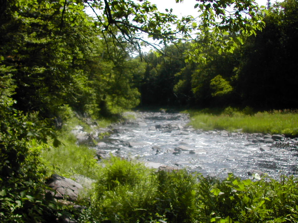
But this short respite from the trail soon came to an end and I was off again on the AT which followed high above the north side of Pierce Pond Stream. This tributary of the Kennebec was particularly beautiful with many waterfalls and magestic forests of Hemlock, Cedar and Spruce on either side. I had decided to hike in my Tevas this morning but I soon found that was a mistake, slipping 3 or 4 times on the ground still soaked from yesterday's rain. There was one particularly scary place where a couple of logs formed a bridge 10 or 15 feet above a narrow ravine. Between my slippery Teva's and the wet and bouncy logs, I was lucky to get across without taking a serious fall.
 Pierce Pond Stream |
 The mighty Kennebec |
Caratunk was perhaps the smallest town I can recall passing through in all my AT hiking, just a side road of the very sparsely travelled U.S. Route 201. I guess there is a little bit of tourist traffic passing through here on the way to The Forks and further north to Moosehead Lake. The man at the Cartunk House was very busy but I managed to get a couple of cheeseburgers. I walked the few blocks to the Post Office to make a call home from the pay phone and finally got moving again about 12:15. My boots, still wet from yesterday's rain went on. I didn't trust the Tevas for anything but fording and camp shoes after the mornig's experience.
The hiking east from Caratunk was rather gentle through largely second growth hardwoods. It was rather humid and buggy and not partivcularly pleasant, especially compared to the area west of the Kennebec. It was almost as if this cut over forest land, with it's mono-culture of tree species was more prone to bugs and humidity. Maybe just a coincidence, but I'll take the more natural growth on the west side of the Kennebec if I had a choice.
I took a break at Holly Brook about 1:30 and then got moving again, finally arriving at the Pleasant Pond lean-to around 3:00. This whole area was rather developed with numerous dirt roads criss-crossing and numerous summer camps down on Pleasant Pond, about a quarter mile from the lean-to. The lean-to itself was rather messy with trash strewn about the area - evidently a local hang-out. Soon after arriving, the rain started again and continued on an off most of the rest of the day. A group of young teens, both boys and girls, showed up. Luckily they had tents and were not intruding too much on the lean-to. It turned out to be Adventure Troop 99 Boy Scouts from Pennsylvania. It seems Boy Scout Troops include girls nowadays! There were 12 kids and 4 leaders and they were all fairly well behaved. They planned several days of hiking in the same direction I was headed, but judging by the amount of gear they had and the need for car support I guessed (correctly) that I would not see them again after toinight.
 My tent for mosquito protection Pleasant Pond Lean-to |
The bugs were not quite as bad as the previous night, but not good. I tried to sleep, but couldn't quite manage, so
finally I set up my tent inside the lean-to as I had done the previous night and managed to get off to sleep about
9:00 PM. All in all it had been a good hiking day. Early in the night the kids were talking for a while but their
voices eventually faded away, and with my tent (minus the fly) for bug protection, I had a good night's sleep
was up at 6:00 AM. There was no sign of life from the Scouts' line of tents off to the side of the lean-to. It looked like a nice day for hiking, weather-wise, with the temperature around 60°. I did my normal morning chores and was off by 7:30. There was a chance that I would see the Scouts again since they were headed north, but given the load they were carrying and the logistics of placing their support vehicles, I didn't rate it as a very high probability.
Today I would see the only mountains worth the name since leaving the Bigelows some 3 days ago. First would come
 Pleasant Pond Mountain (with my shadow) |
As I got lower down there were sections of hardwood forest which tended to harbor more mosquitoes. Maybe it was the altitude or maybe the type of trees, but the change was quite noticeable. I took a break about 10:00 but it quickly became unpleasant with flies and mosquitoes buzzing around. I passed a couple of south-bound sectioners who were hiking from Monson to Stratton, almost the reverse of my section. I worked my way down to the saddle where it was boggy and buggy! At the low point I crossed under power lines and across a major logging road which went along the
 A Beaver Pond near Bald Mountain Brook Lean-to |
I was soon off and started up Moxie Bald Mountain. This peak was slabs, slabs and more slabs all the way. First easy and then towards the top rather steep. But I prefer slab walking to rock scrambling so I liked this climb. At one point I hiked under some peculiar overhanging slabs which were quite a site. Towards the top their were signs of a recent fire. It seemed to have burned patches of scrub and brush between long slabs very near the summit. It was a bit strange and I guess it was lucky the fire didn't start further below in the forest itself. The summit was a beautiful open rocky crag with views in all directions but the best views were to the east
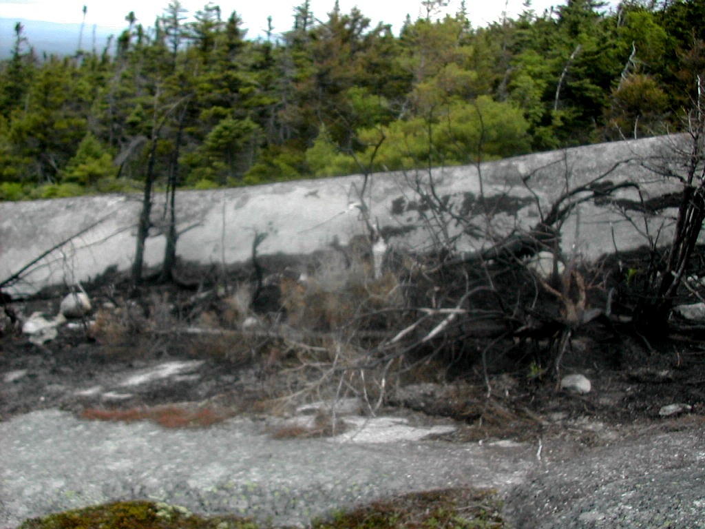 Fire damage near Bald Mountain summit |
I had decided I would take the side trail to the North Peak which was supposed to be rather pretty. Just before reaching the junction, I passed 2 more SOBOs, Cadence and 8-Ball. The side trail was about .7 miles to the North Peak but was very easy going, over open ledges and slabs. This area had more of an Alpine feel about it then the actual summit, although somewhat lower, perhaps because of the exposure. There was plentiful Mountain Laurel and Blueberries as well as the Alpine wildflowers Mountain sandwort and Three-toothed cinquefoil. As I reached the North Peak the sky suddenly clouded over and it started to rain lightly so I didn't stay, but quickly returned to the main trail and started down. I passed 3 more sectioners moving south (up the mountain) as I made my way down to Moxie Bald Lean-to, my destination for the night. I reached the shelter about 4:30 and found 4 SOBOs (and a dog) who had just recently arrived. There was Poncho and Moose the dog, Fat Cat and Gromie (a newlywed couple thru hiking for their honeymoon) and Gayland.
Now Gayland looked familiar. Yes, he was the fat guy I met on my first day out of Harpers Ferry at Ed Garvey Shelter in Maryland (May 10th). At the time he was doing a shakedown hike in preparation for a SOBO thru he planned to start
 Sunset over Bald Mountain Pond |
Given the mild night and the crowd, I decided to forgo the lean-to and
pitched my tent over by the lake. This is a
beautiful site on a
very pretty lake, which was quite empty of any visible development, pleasant contrast to Pleasant
Pond. A nice cloud formation over the lake reflected the light of the sunset and a full moon was soon visible rising
in the east. It was one beautiful night in an idyllic setting. A fitting site for my last night on the trail!
awoke at 5:00 AM on this, my last day on the trail. It looked like this would be a hot day. Fat Cat & Gromie were up and about, as was Gayland. They would all be on their way by 6:00 AM. Poncho and the dog were sleeping in. I was not quite as quick as they were but managed a relatively early 6:30 AM departure from camp.
Today's hike would be longer than my average day and it would be divided into about 3 equal parts separated by fords of the two branches of the Piscataquis River. The guide book said "Crossing can be very difficult in high water". Clearly I would not have that problem at this time of the summer. There would be no climbs to speak of with a total elevation change of barely 100'. Clearly this would be an easy day by any measure.
The trail started out as mostly easy hiking over a level trail and old woods roads with an occasional rocky section. The bugs were not as bad as yesterday, but still made their presence known. Crossing the outlet of Bald Mountain Pond which empties into Bald Mountain Stream was an easy rock and log hop. After about 3.5 miles of easy walking, I crossed Marble Brook and followed it a few tenths of a mile to the first ford, that of the West Branch of the
 The ford of the West Branch |
I took a little break on the far bank. It was a little past 9:00 AM. It had turned out to be a nice day with less humidity than yesterday. I got going again at 9:30 just as a SOBO couple (Marge and Jeff) were arriving. I told them my crossing experience and pointed out my route (which was a little less obvious in their direction) and was off. I passed a sectioner named Jethro and enjoyed the hike along the West Branch. The trail followed a route part way up
 Along the West Branch |
After leaving the Piscataquis behind, the landscape became distinctly less scenic. I crossed an old railroad right-of-way, an major logging road and found myself in a crappy second growth hardwood forest with ATV trails criss-crossing. This was not a very auspicious way to end my hiking, but I slogged on. True to form, the humidity and bugs increased in the section as well, and I just wanted to finish. The saving grace was Lake Hebron which I
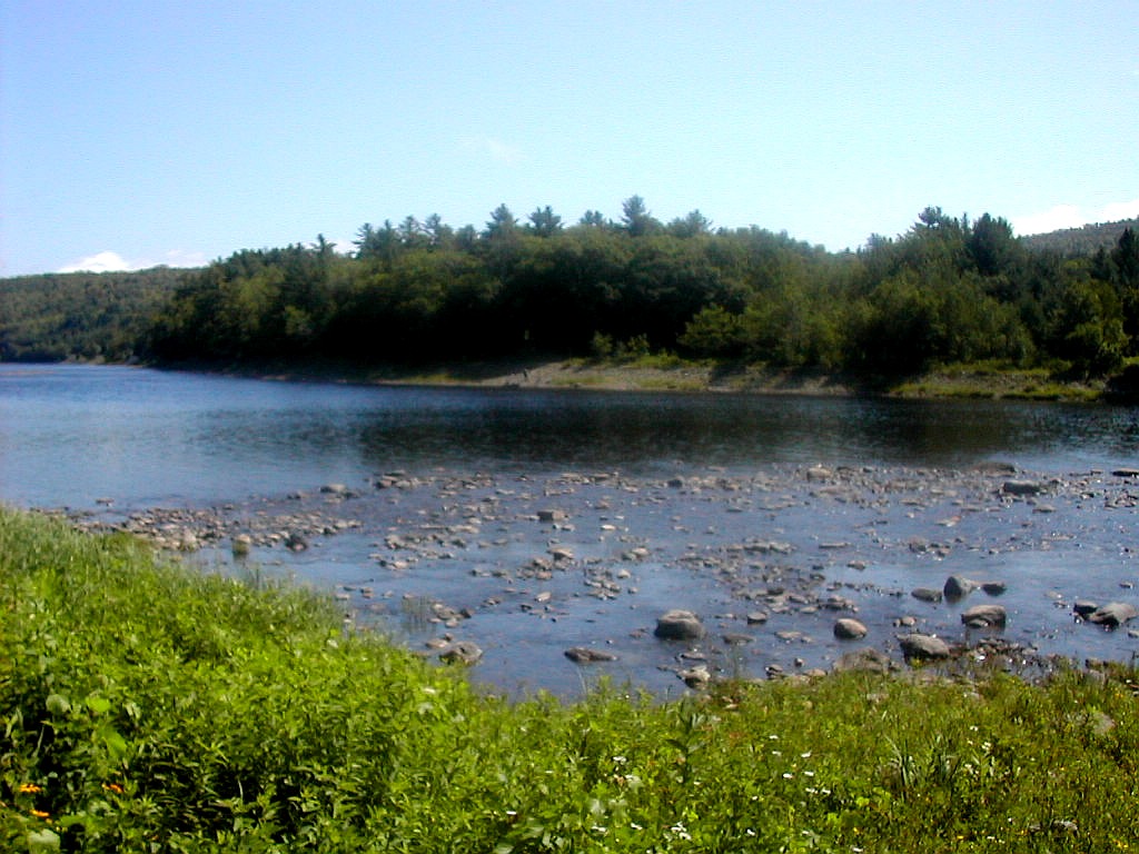
 Lake Hebron |
But the hike wasn't over and Pleasant Street was not pleasant. I had another hot and dusty 2 miles to walk on this paved (ouch!) road to get into Monson and not one car or pickup or other potential hitch hike target went by till I got to the center of town.
But now I truly was done walking: there was Shaw's Boarding House, my destination. I made my way inside, got oriented by "Young" Keith Shaw and said hello to "Old" Keith and did all the things you do: shower, laundry and ice cream! There were lots of hikers there coming and going: Demean was there with his dad (who would hike with him across the 100 mile wilderness in TWO DAYS!). A brother and 2 sisters (Cyrus, Julia and Mary) who were hiking south and recovering from some very bad blisters, and assorted others including 2 dogs. And after a scrumptious chicken dinner, who should walk in but Flick, Grunt and Squirt whom I had hiked with several days in May in Pennsylvania, along with their fellow hiker Journeyman!. Flick immediately said "Hey, it's Papa Bear" when he walked in. It was like old home week!
Home! Now that was a thought. That's where I'd be heading in the morning. After a shuttle to Bangor and an all day bus ride I'd sleep in my own bed tomorrow night. A great end to a marvelous journey.
|
Click here for a complete album of photos from this hike Click for Papa Bear's Home Page Click for the Backpacking Page |