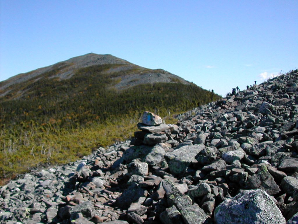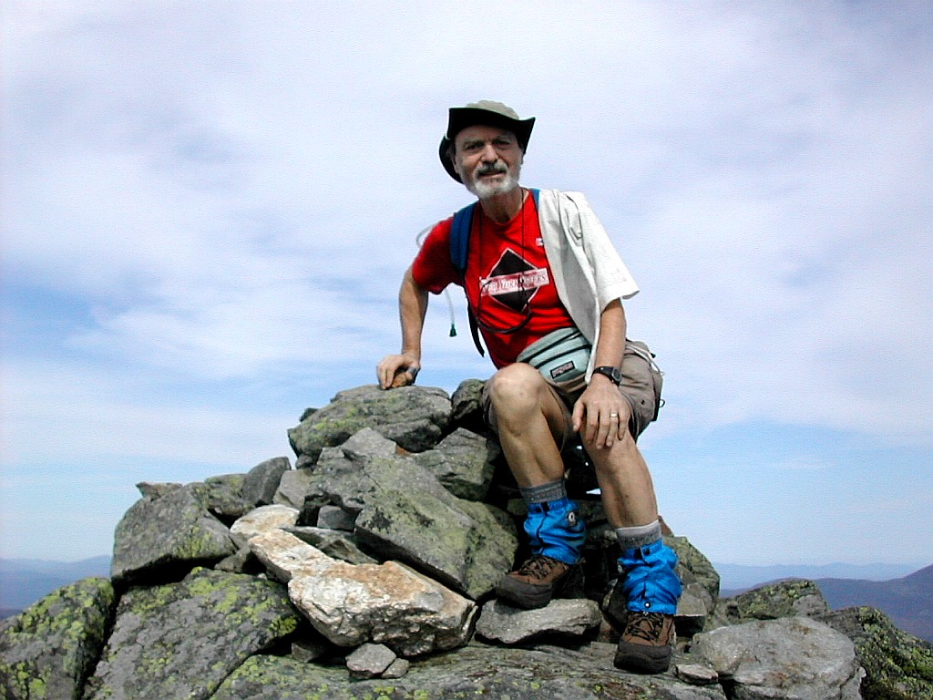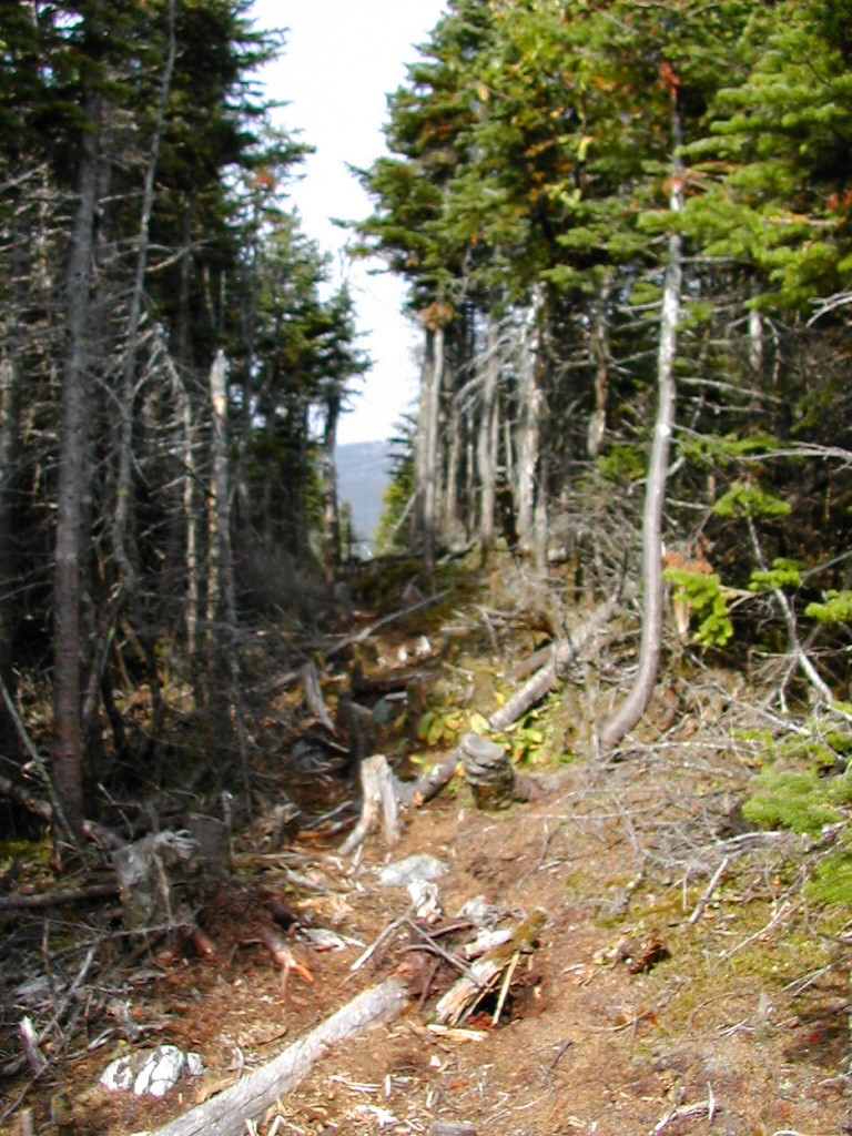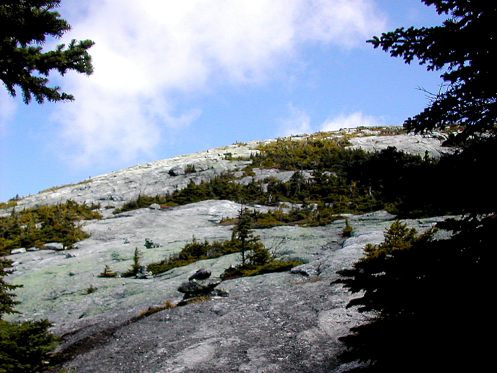
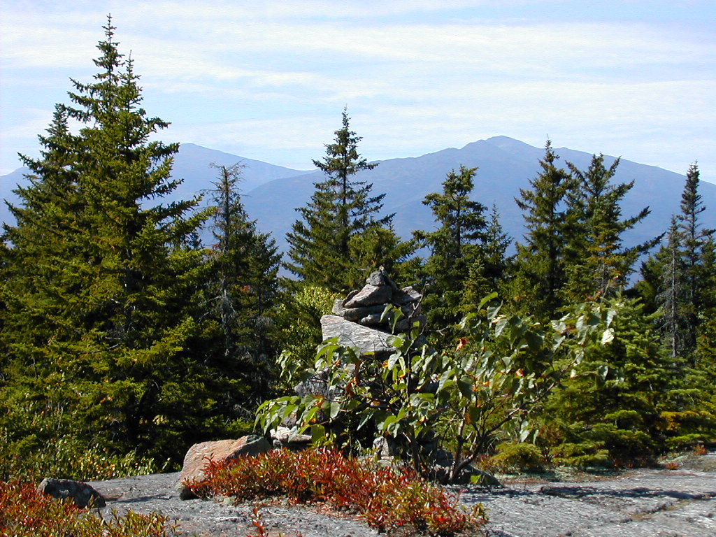
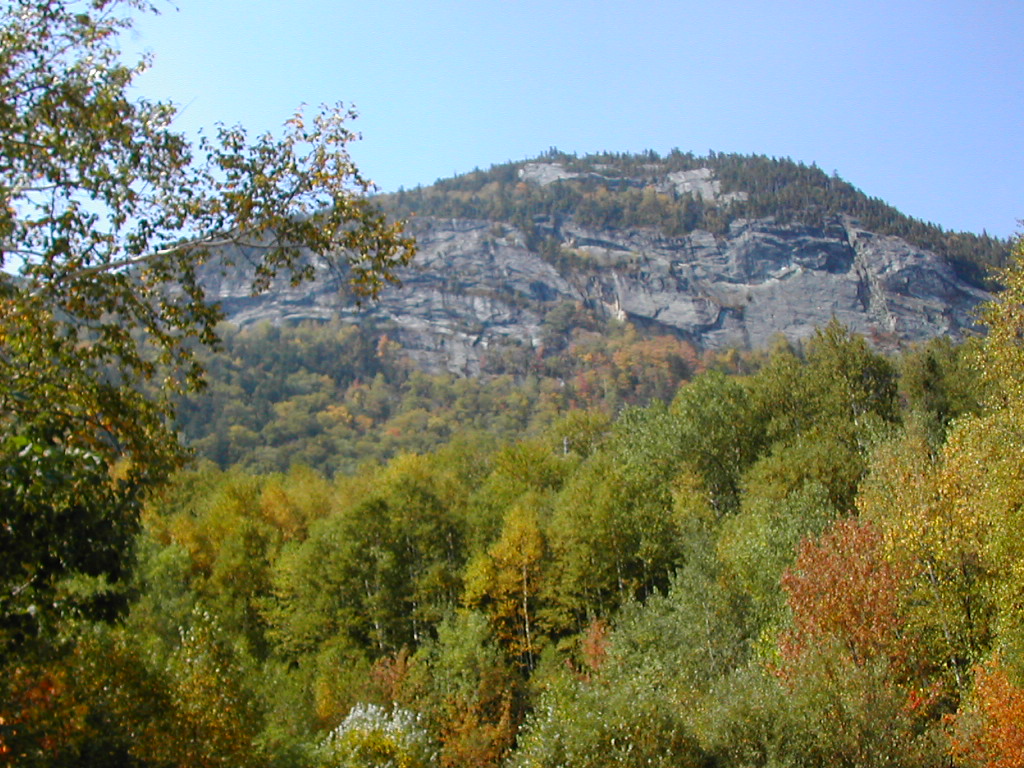
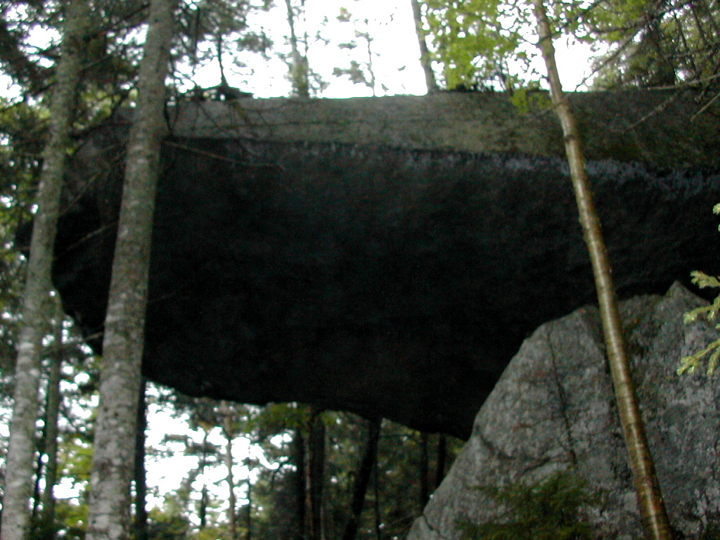
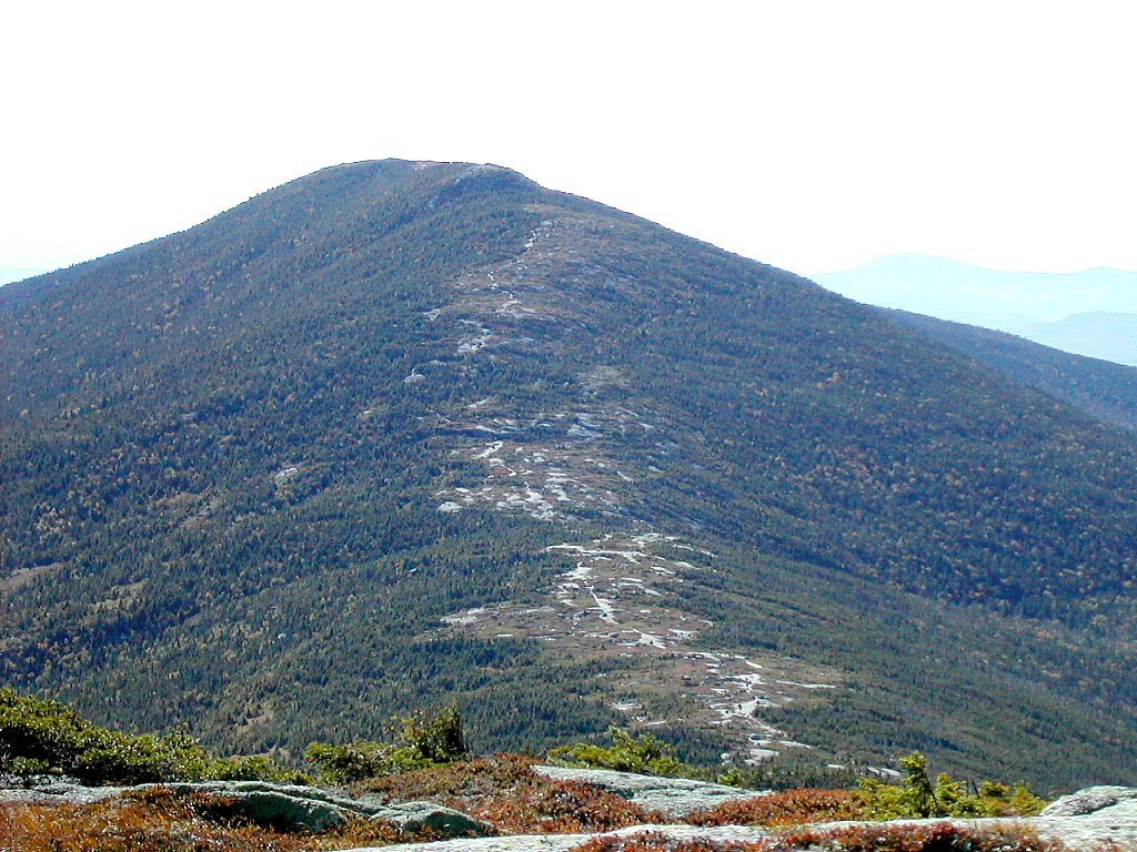
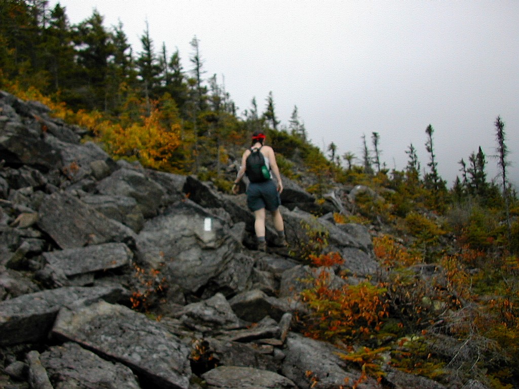
Approaching the Baldpate Summit
|
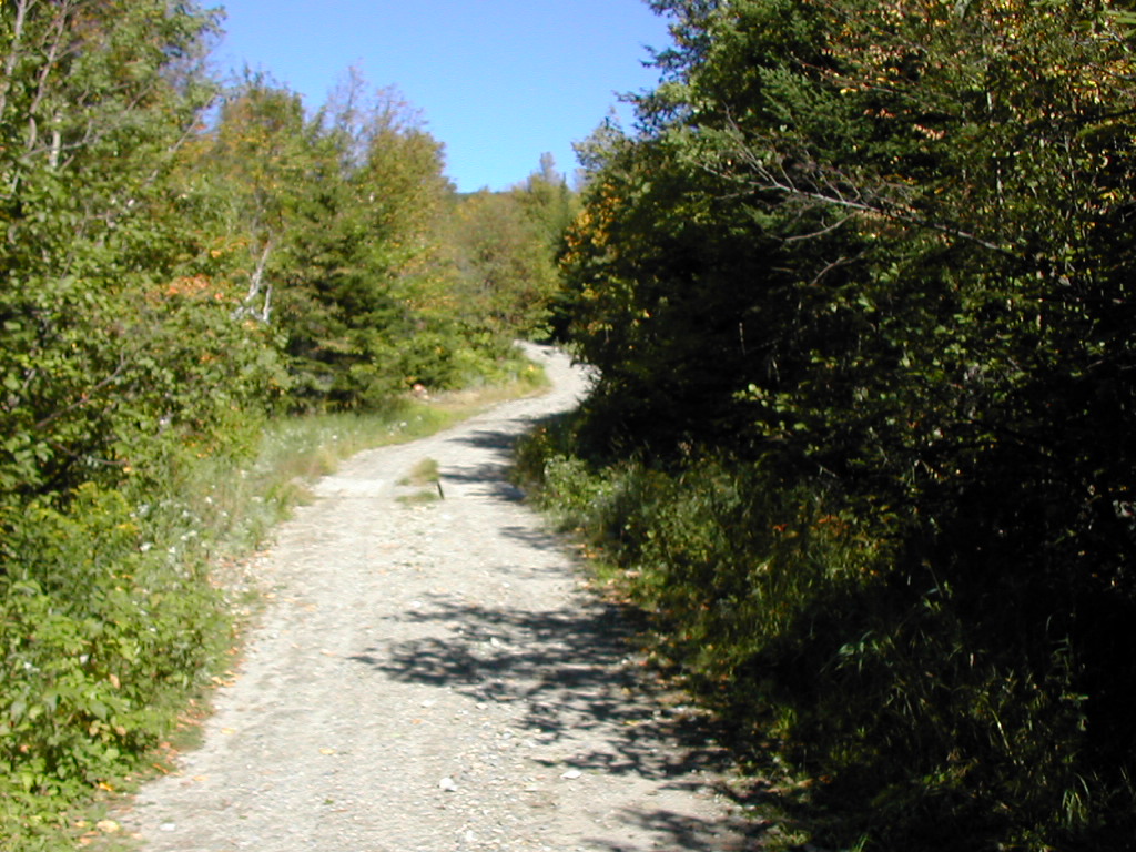
Approaching the Baldpate Summit |
|
Click here for a complete album of photos from this hike Click here for an album of the Abraham and Redington side trips Click for Papa Bear's Home Page Click for the Backpacking Page |
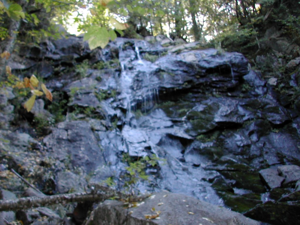
 Raw and wild and tough! |
We also hit this section in an unseasonably warm period. It was 85° and humid crossing the Mahoosucs, which added to the difficulty of that already daunting section. A few things we learned (the hard way): 1) Don't go over exposed peaks (e.g. Baldpate, Saddleback) in a thunder storm. Wait a day and enjoy the beauty. 2) Build some off-days into your schedule. You'll need to be flexible when you go slower than planned or when storms postpone your plan for a given day. From the start this year in New Jersey, we were always able to stick to a schedule - more or less. Here in Maine we had to cut back and rethink our goals several times. Ultimately we decided to come off the trail in Stratton rather than Caratunk. A smart decision - after all, the Bigelows and the Kennebec will still be there next year for our enjoyment.
Our original hope was to hike all of the AT from the Delaware Water Gap to Katahdin this season. This didn't happen due to time constraints and scheduling conflicts, but I've come to realize that this is a life-long endeavor, and the trail and all the other trails will be there next year, and the next and the next. In a way it's good that I'm not "done". I guess I now know that with this sort of thing I will never be "done". Always more mountains to climb. Or to quote Bilbo Baggins: "The road goes ever onward ..."
Peak Bagging: We hoped to climb (or "bag") the peaks which were on the New England 4000 footer list, or the New England 100 Highest list, that were on or near the trail. Although I have not really been a serious "peak bagger", I figured some day I may want to complete these lists, and as long as these peaks were on or close to out route, why not do them. (In the peak bagger's jargon, this is called "leaving no stragglers".) Accordingly, we "bagged" the following peaks, (among many others others):
Mount Success (3565')
Mount Carlo (3565')
Goose Eye (3870'), 0.1 mile side trail
Mahoosuc Arm (3770')
Old Speck (4180'), 0.3 mile side trail
Baldpate West (3662')
Baldpate East (3790')
Saddleback (4120')
The Horn (4041')
Saddleback Junior (3655')
Mount Abraham (4043'), 1.7 mile side trail
Mount Spaulding (4010'), 0.1 mile side trail
Sugarloaf (4237'), 0.6 mile side trail
South Crocker (4010'), 0.1 mile side trail
Mount Redington (4010'), 1.5 mile bushwhack from South Crocker
North Crocker (4228')
In my opinion, all but Abraham and Redington are a MUST DO for any AT hikers, especially Sugarloaf. If you can spend the night there in the "Sugar-shack" in clear weather you may bag a Katahdin sighting and a beautiful sunset (we weren't able to do that, but hikers a half day ahead of us did, and bagged both of the above).
 Mount Abraham |
 Mount Redington |
Redington is another story. Although it was easier than I thought, it is a "bushwhack", which means there is no regular trail, just a hard to follow path (or none at all) through the woods. There is no view when you get to the summit and you get lots of Spruce needles in your face and down your back. My daughter said "this is dumb". It took us about 3 hours (including 20 minutes lunch) round trip from South Crocker. Peak Baggers however should consider this - the route from the AT is much shorter that the "regular" route from Caribou Valley Road and the bushwhack is not that hard to accomplish.
I had a funny conversation about this in Stratton.
We were chatting with some thru-hikers (Hollywood and So Far) and mentioned we had done the bushwhack to
Redington. They asked how far it was and how long it took. Then they asked "Well was there a nice view or
something?", we said no, but it was one of the New England 4000 footers. They looked kind of doubtful at
that, as if to say "Well that sounds kind of pointless". Interesting, coming from thru-hikers who hike for
4 to 6 months on what many would consider a totally pointless endeavor. Oh well, one person's "pointless"
is another's high priority goal!
Weather: We had a couple of 85°, humid days in the first section. Going up and over Mahoosuc Arm (after going through Mahoosuc Notch) became a real trudge and that became a mere 5 mile day (Full Goose Shelter to Speck Pond Shelter) which nevertheless was one of the hardest days (of any distance) I have yet done. As one thru-hiker put in the register "Mahoosuc Notch may be the slowest mile on the AT but Mahoosuc Arm is the hardest". We actually did the Notch in 2 hours and the Arm in 2:15. So for us the Arm was the slowest and the hardest mile!
The rest of the time weather was more seasonal with morning termperaturs in the 40°s or low 50°s rising generally to the mid or upper 60s. Good hiking weather. We seemed to get rain each time we planned to go over the most exposed peaks (Baltpate and Saddleback). More on that below.
Water: Things were very dry. Several of the shelters were down to the last drop (Carlo Col, Full Goose) and some (Bemis - we were told) were dry. Those on ponds (Gentian Pond, Speck Pond, Sabath Day Pond) had dry springs so you had to take water from the pond. This was the second dry year in a row and the trees showed it. A lot of leaves were brown, not bright autumn colors, and after one wind and rain storm a great number of leaves were on the ground, green. Most of the hardwoods over about 2000' had lost a good deal of their leaves, without going through the fall foliage stage. Those in the valleys were still on the trees, green, or occasionally brown.
Interesting Note #1: as I checked this report with my spell checker, the suggestion for "Mahoosuc" came up
as "Madhouse"! Cool - someone at Microsoft must know something about western Maine!
Interesting Note #2: In areas
maintained by the AMC, those wooden structures you sleep in are called "shelters". In areas maintained by the
MATC (from Grafton Notch to Katahdin) they are called "lean-tos".
Hostels: We stayed in Hostels in Gorham (Hikers Paradise), Andover (Pine Ellis), Rangeley (Gull Pond Lodge) and Stratton (Stratton Motel) and each was fine with very helpful and hospitable proprietors.
In short, we had some great hiking and did some difficult and beautiful sections of the trail. Now for the details ...
t's fair to start this story the day before we actually got onto the trail. From the start, this was going to be a 3 person hike: myself, Fresh Air (who had been my hiking partner in the 4 previous AT sections we did this year) and my daughter Payslee. Payslee lives in Portland Oregon and loves hiking (she has done sections of the PCT) and loves the out of doors. She has done some mountaineering - she has summited Mt. Hood, Mt Adams (Washington State) and Mount St. Helens (the one that blew up). It would be interesting to see how she reacted to these "wimpy" eastern mountains (-:
Two days before our start date I got a call from Fresh Air's wife: he had broken his ankle in High Point State Park, New Jersey and was currently in a hospital. I talked to him the next day. He took a serious fall and had broken his ankle and his tibia and would require surgery and a metal pin in his ankle. He was on the Iris Trail, a side trail near Rutherford Pond and had to walk about a mile on his broken ankle to get to the more active AT where he got help. But his spirit was good. He still planned to run the Boston Marathon next April and had sent in his registration fee. He hoped to be out of the cast and active again in 6 - 8 weeks.
But for Payslee and myself we had some new choices. We had been planning a "warm up" hike in the Carter Range on Saturday since Fresh Air couldn't start until Sunday. We decided to forget that idea and get going on the AT on Saturday. This would allow a slightly more leisurely pace by adding a day in one of the tough sections.
We took the bus from Boston to Gorham and arrived at Hikers Paradise around 9:30 PM. Since we had changed our hiking plans for the morning, we wouldn't be able to make Bruno's shuttle, but we decided we would just hitch to the trail head in the morning.
We were in a section of the Hostel with 6 other hikers from 2 families (including youngish kids) who were going up to climb Mount Madison the next day. It was nice to be immersed in hiker talk the night before to get us in the mood.
We bought some last minute supplies, ate something and got to bed early. We would need to be up early to get started on the trail right after breakfast.
fter breakfast we got ourselves packed up, put our packs on and walked across Route 2 and stuck out our thumbs. After a few minutes Bruce stuck his head out of the Motel and told us to move down the road about 20 yards for optimal hitch hiking. We did that and in about 10 minutes we got picked up by a 30ish woman. She said she was a 2001 AT thru-hiker named Midnight. She wasn't going that far this morning but insisted on driving us all the way to the trail head (about 4 miles out of town). She recalled coming through Gorham last year around Labor Day with a big pack of thru-hikers. She finished her thru-hike on October 13th of last year - since Baxter State Park closes on October 15th, I'd say that was cutting it close.
We got out by the big stone building at the corner of North Road and walked the mile or so to the trail. We soon crossed the train tracks and passed over the Andoscoggin River with a small dam and hydroelectric station just by the road. We got to the actual trail head around 8:30 and at last we were off.
 Mount Hayes |
It had become hot and sunny by this time. It would be the first of several unseasonably hot days. Our first climb was the relatively easy Mount Hayes. We got our hiking legs warmed up a bit. This was followed by Cascade Mountain which was a rough rock climb and a steep down slope. Finally came the Trident and Trident Col. This was a very steep notch. The Trident Col tentsite was nice. We took the opportunity to refill our water. We would be drinking a lot on these hot days.
After our lunch break, we got going again around 2:00 PM and worked our way over the Wockett Ledges which were basically two steep climbs over exposed rock ledges. There were nice views, particularly towards the west towards the Carter Range and the Androscoggin Valley up through Berlin NH. It was slow going over these ledges.
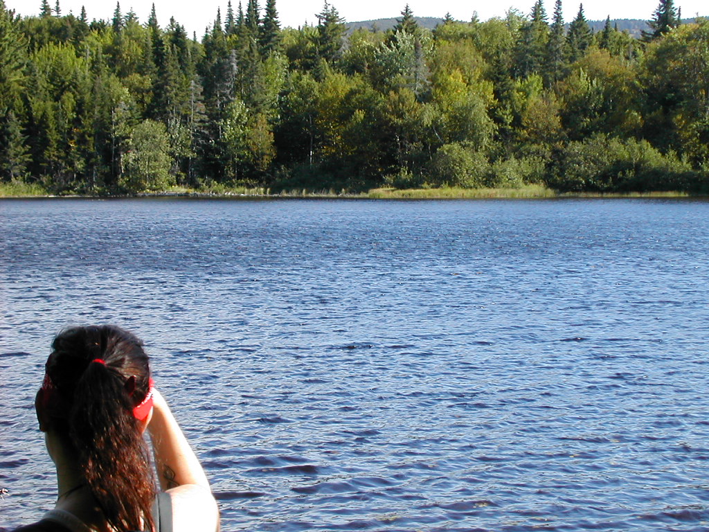
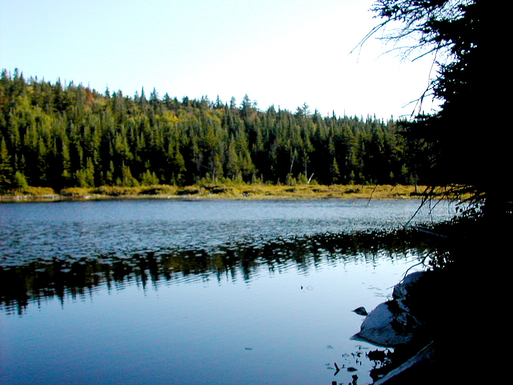 Gentian Pond |
We made our way down to the Gentian Pond Shelter. This was a very nice structure overlooking the Shelburne Valley. Gentian Pond was pristine and lots of register entries mentioned almost daily moose sightings on the pond. Two older guys were there with heavy packs of tools. It turns out they were also from the Boston area (the South Shore) and were up for one of their periodic trail maintenance weekends. They were AMC volunteers for this section. They were scouting out the corridor boundary for "infringements" this trip, although they said it was too remote here for anyone to do any serious infringing. They did give us fair warning that the climb up Mount Success we would be doing the next day would be a very tough climb. Duck Tape was there and well as a few others (Mike and Buckeye) and they were using their tents.
We had a good supper, caught up with our logs and had an early bed. It was a good start for us!
awoke early, and hoping to see the resident moose, I crawled out of my bag, grabbed my camera, put on my Tevas and made my way down to the pond. It was around 6:15 AM. There he (she?) was! Across the pond grazing on the low marshy vegetation the moose did not notice (or just ignored) my presence. I made my way along the shore through the thick vegetation and snapped a number of photos. Unfortunately they were all out of focus. Drat! I must read the directions for this camera! When I got back to the shelter, Payslee was rising and I told her I saw the moose. Unfortunately it did not wait for her and had disappeared for the day when she went to look around 7:00 AM.
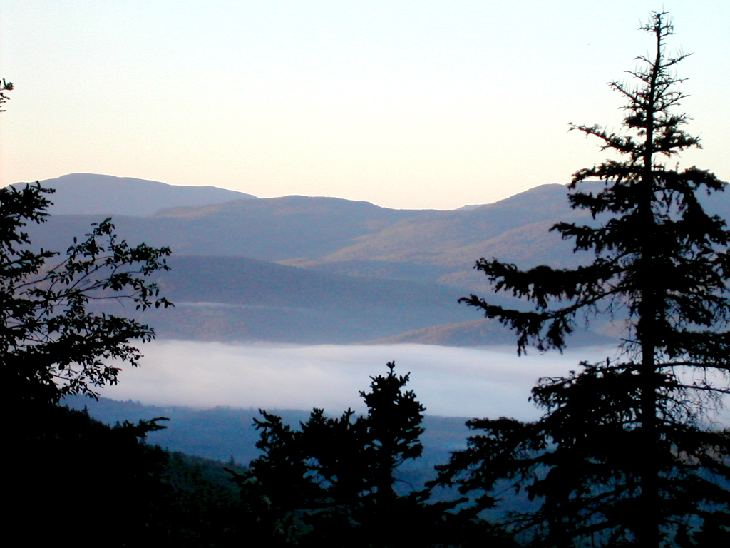 Fog in the Shelburne Valley, Sun Appearing on the Mountains |
In the other direction there was a carpet of fog filling the Shelburne Valley, with the mountains beyond getting their first touch of sunlight for the day. A beautiful sight. Some days it's clear above and cloudy below (like today), and some days it's clear below and cloudy on the mountain tops. Both are beautiful scenes from the never-ending, never-the-same-twice show called mountain weather! (and some days it's just rain everywhere!)
 Mount Success |
Coming down off the summit, there were lots of board walks - very easy going. We moved down across a valley and then up to the NH-Maine State line. Now this was a real accomplishment for me. Since my first AT section hike this year back on April 7th at the Delaware Water Gap, this was now my 7th State (and the last for this year). I'm sure this is a great moment for any AT hiker. Then it was up and over a hump and down into Carlo Col. This involved an extremely tough rock scramble down. I'm glad we were going down, not up that one (at least I think so - sometimes going down is actually worse than going up). We dropped our packs and went down the side trail (about 1/4 mile) to Carlo Col Shelter. The water there was rather sparse, to say the least. Basically a few puddles in an otherwise dry stream bed. But we were able to pump a liter or two and we sat outside the shelter for a nice lunch break. After lunch we got going again around 2:00 PM. On the way up the side trail back to the AT, we passed Honey and Homey and Buckeye plus two day hikers (returning from a hike up to Goose Eye) all going down to get some water. On a hot day like this everyone was drinking lots of water.
Then it was up Mount Carlo - steep but not a killer. The top was open slabs of rock and there was Duck Tape sunning himself on one of the summit rocks.
 Goose Eye |
At around the middle peak of Goose Eye (called the East Peak) we ran out of water (in spite of the nearly 2 liters we had started with at Carlo Col) so we just dogged it on and down to the shelter, about 2 miles. When I finally made it to Full Goose Shelter, I must have looked exhausted and mentioned how dry we were, so Homey graciously poured a cup of water and gave it to me. Besides Honey and Homey, Duck Tape and Buckeye were there. I drank the precious gift down and immediately got my pump out and found the water source. It was a stream bed which had (only slightly) more water than Carlo Col, but at least it was actually flowing (very slowly). Payslee showed up and found me down at the stream and helped with the pumping chores.
We were very tired. Payslee later said that this was the hardest day for her of the whole trip (mine would come tomorrow). We were both dehydrated and did not eat quite enough to make up for all the effort we had expended. We basically ate and got right off to bed. Tomorrow would be the infamous Mahoosuc Notch, which we looked forward to with some trepidation.
oday was the day to do Mahoosuc Notch! I woke early and was up at 6:00 AM. We knew we needed an early start and we got off by 7:35. Most of the rest of the crew were still in their bags when we left. But then again, they moved faster than us.
 A Spruce Grouse right next to the trail |
The Notch was indeed a very tough trek, very slow going. There were many rock scrambles over and under huge boulders. In the lower sections, the temperature was actually rather cool - down to around 60°. Occasionally you would get a blast of warm air, actually just the normal outside air, but compared to where we were it almost seemed super heated. There was some trial and error and retracing of routes to find a better way through, and a few places where we had to step (or "leap" would be closer to it) over gaps between rocks - this was a little scary. We had to take our packs off twice - both times when we climbed under some rocks and had to squeeze on the way up on the other side. At the second of these places I knocked the bite valve off my Platypus hose (scraped it off against the rock I was squeezing by). I quickly tied the hose into a knot (after losing a small stream of water). I had an extra valve in my pack so this wasn't a disaster, but luckily I found the original valve at my feet, so all turned out OK.
At one place after about an hour and 45 minutes the Notch seemed to end, but that turned out to be a false ending. Soon thereafter the real end came and the trail curved slightly up and to the left and the notch opened up. We were through! It took about 2 hours. We thought that was pretty respectable compared to the stories we had heard. A stream actually trickles through the Notch (we were actually moving "down stream") mostly way below where we were scrambling, but at the end we could actually see a real stream at the surface.
 Payslee in Mahoosuc Notch |
Was that so hard? Not so much hard as slow and tricky. Rock climbs are always slow and only when you try to move quickly are they hard. My advice; take your time, have some fun. Don't let it psyche you out.
But surprise! then the real hard part came. They don't tell you this, but Mahoosuc Notch is there just to soften you up, to beat you up a bit. Then comes Mahoosuc Arm. As my notes say this was "the longest, steepest ever". It really was. Although there were a number of steep rock climbs, the hardest parts were a series of very steep slabs that seemed to go up at about a 45° angle that went on and on, up and up, for about a mile. The total elevation gain is about 1500' in something over a mile. Part way up we crossed a stream flowing over a rock slab where there were a couple of weekenders getting water. We were just warming up in our climb, but we should have stopped there for some water.
So first you do the Notch, then you start up the Arm, what else? 85° hot and humid sun, that's what else! By the time we got to the top of the Arm, we had run out of water (that's twice in 2 days). We both realized that we weren't in shape to make it to Grafton Notch which was the plan, so I said let's just get to the Shelter (Speck Pond Shelter) and call it a day. Great decision.
But I had to let my car shuttle (from Pine Ellis in Andover) know we'd be a day late. Otherwise they would be waiting for us on Route 26 while we settled in at Speck Pond Shelter. I tried to get to Pine Ellis on my cell phone from the top of the Arm but couldn't get through. As a last resort I tried to call my wife in New York City, and yes, the phone rang and she was there. Great. I told her to please call Pine Ellis and tell them where we were and that we would be in a day late. The connection was flaky and I just hoped she had got the number and the message right. I had to keep walking in different directions to get a good signal.
That done, we had to trek on the last mile on empty Platypi (Platypusses?). You can't believe how good it was to see Speck Pond in the distance as we hiked down the eastern slope of Mahoosuc Arm. Payslee was justifiably miffed that when we finally got to the pond, we couldn't just jump in but had to walk half way around the damn pond to get to the shelter. But get there we did, and we were soon greeted by Tom, the care taker. We dropped our stuff and made our way down to the pond to pump water and yes, I actually took a dip in this cold body of water. Somewhere I read it's the highest pond in Maine.
 Speck Pond |
Today we actually had a rather short day: around 5 miles of hiking (in 7 1/2 hours!). But I consider this by far
the toughest 5 miles I've ever hiked. Change that: the toughest day of ANY length I've ever hiked! The combination of the
Notch, the Arm and the heat and humidity made it the worst. But getting into camp at 3:00 PM and being able to
jump in the cold waters of Speck Pond put me in a good mood rather quickly and I began to feel rather proud that
we had got through this "toughest mile on the AT" (should be "toughest 2 miles") in good shape. Now we can go
off and tell folks who have yet to do it "Oh it's not too bad, a little rough here and there, a bit steep, but
nothing we couldn't handle"  .
I love how the human mind works, don't you?
.
I love how the human mind works, don't you?
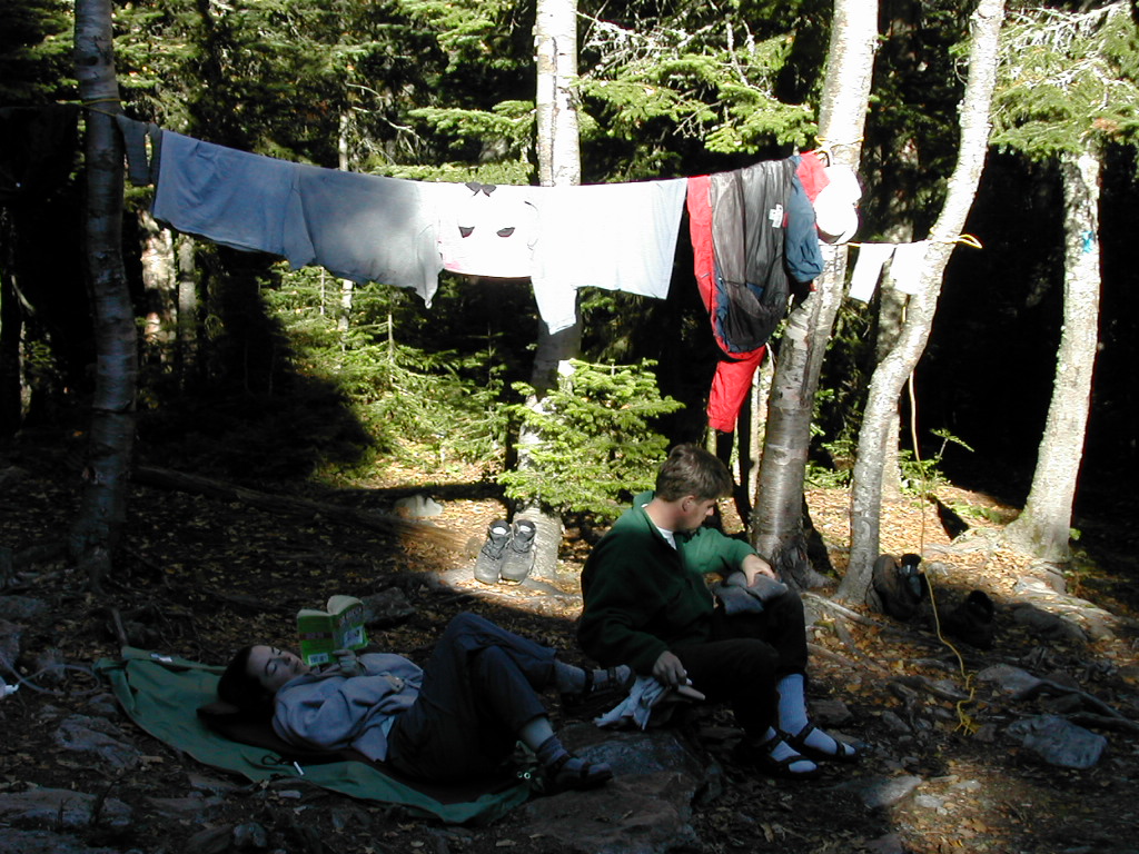
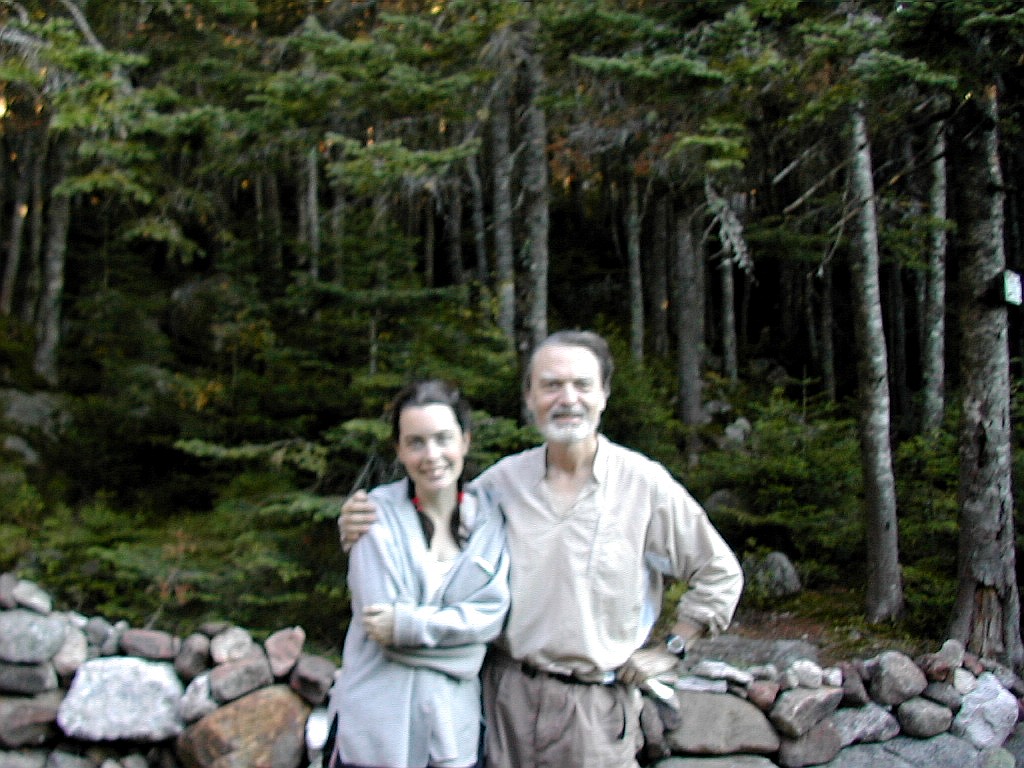 Payslee and Papa Bear at Speck Pond Shelter |
At this point I was looking to put on my nice fleece shirt and I realized "sh*t", I had left it at Full Goose Shelter that morning. Payslee remembered seeing it sitting there and she thought it was someone else's. This was a bit of a pain, since if the temperatures turned back to the seasonable norm, I would really need this. I wrote a note in the register to both NOBOs and SOBOs hoping either a NOBO would have picked it up and see the note, or a SOBO would read the note and look for it when they got there. I promised ice cream and beer to any one who found it and left my home address and also the place I would be straying in Andover over the next couple of days.
Then I checked the cell phone signal and it had gotten much stronger in the night, so I called Pine Ellis and got Eileen on the line. My wife had indeed gotten through to them, so all was OK. She even said that she reassured my worried wife that where we were staying was safe and actually a rather nice place. With all the loose ends tied up, I got off to a well earned sleep.
awoke refreshed and got up around 6:40 AM. I could tell this would be another hot day. We had a nice leisurely breakfast, broke camp and got going around 8:15 AM. This would be an easy day since it was really just the second half of yesterday's hike, according to the original plan. We were definitely more rested, better fed, and more fully hydrated than we had been for the last couple of days.
Today's job was to climb the short stretch up to Old Speck (although the trail doesn't quite make it to the summit) and then the long but relatively easy descent to Grafton Notch.
 View of Old Speck from the Trail |
The climb up Old Speck was actually quite steep, with many very steep, rough rock slabs. But mercifully it was rather short compared to Mahoosuc Arm and it helped to be up and at 'em first thing in the morning. We reached the top about 9:45 AM. This wasn't really the top of Old Speck. The side trail to the summit continued straight ahead whereas the AT took a left hand turn. It was obvious that the Old Speck trail used to be the official route of the AT, but that had somehow got rerouted off the summit sometime in the past.
 Old Speck |
I made the short trip back to the trail junction and Payslee, had a bite to eat, and got going on our long
descent (2500' in about 3 1/2 miles) to Grafton Notch. The descent was not too bad, a few rock ledges
interspersed with easy hiking down
the ridge. At one point we came to a wide open ledge with a precipitous drop over the edge. It was a friggin cliff to be
precise. At first we didn't see which direction the trail took and given what we had been over in the
last few days, we thought it was just possible we were expected to descend over that sheer rock face. But
thankfully it was not to be. The trail took a right turn and made a long circuitous detour around this rock
face. When we got to the bottom and looked back we saw just how precipitous this cliff was. I guess even in
Maine there are limits to where they will put the trail!
 The Trail Comes to a Sheer Ledge |
 The Ledge as Seen from Below |
The lower part of the descent was largely along side of a practically dry stream bed. This had many large boulders and ledges and it would be marvelous to see this at full flow in the Spring time.
 Pine Ellis B&B |
oday was a somber day, being September 11th. Nevertheless we started out with high hopes for a good day of hiking to celebrate life and the wonders of the world. Paul Ellis produced nothing less that a scrumptious and delicious breakfast. Although rain was forecast, the day started out looking reasonably fair, with moderate temperatures and so far no rain.
We had opted to slackpack for the next several days. We would use only day packs (borrowed from Pine Ellis) and we would be shuttled to and from the trail sections each morning and afternoon. Think of it as a series of day hikes with the Pine Ellis B&B as a base camp. The advantages are being able to hike with a much lighter pack (probably around 10 lb. including rain gear, emergence dry clothes, lunch food, emergency items, etc. vs. a full pack weighing 30 - 35 lb.) and not having to set up camp or cook breakfast and dinner (allowing more time to hike). Some hikers eschew slackpacking, feeling it's not a proper (or "pure") way to do a long distance hike, but we had no such ethical qualms. However there is a practical down side, in that you are much more tied to your base camp and the shuttles you have arranged, which cuts down on your flexibility. Another way to think of it is that if you felt like stopping somewhere for the day if you got too tired to go on, or the weather made progress impossible and you were carrying a full pack, you could set up camp or stop at the next shelter. If you were slackpacking you would have no choice but to go on to your rendezvous point since you would not be equipped to camp out for the night.
 A hopeful beginning at Grafton Notch |
Around 10:30 we came to the short side trail to Baldpate Lean-to so I decided to go over and take the opportunity to put on my full rain gear. Payslee was afraid to stop since she felt the action of hiking was keeping her warm, so she kept on going.
When I got to the lean-to, two NOBO thru-hikers, Hollywood and So Far, were already there trying to wait out the storm. As I got inside the front of the lean-to I heard the ominous sound of thunder and got a little concerned about Payslee going on ahead. At this point it didn't look like a good day to go over Baldpate, which rises above treeline. If the day's hike were relatively well covered under the forest canopy we could have just gone ahead and toughed it out, but going above treeline would be very risky. Payslee evidently also heard the thunder and showed up a few minutes later at the lean-to. We both tried to warm up, and although I felt reasonably good, Payslee was shivering and felt somewhat sick. I think she had made a strategic error when she got to the lean-to and put her spare shirt on over her wet shirt. She should have taken off the wet one first. I gave her my rain gear tops and bottoms (which were not wet yet since I had just gotten them out when I got to the lean-to). We both tried to warm up and ate some trail food to give us some energy. I was able to give some excess Gatorade to the 2 thru-hikers, which they appreciated (since I realized in my heart that we were going to have to abort the trek for the day and I wouldn't need the Gatorade). After about an hour in the lean-to, with no end to the rain in sight, we decided the best course was to hike back to Grafton Notch and hitch hike back to Pine Ellis. Payslee and I both put on our respective rain gear and got going before we lost our resolve. It was clear we had to go forward or back and forward would be too risky in this weather. Since we had only day packs, staying at the lean-to was not an option. The thru-hikers were tying to wait out the storm and had still not decided if they would go on as we left them.
On the trek back down to the road, which took about an hour, the rain got heavier and heavier with an intensity varying between moderate and a downpour. It seemed to lessen slightly when we finally made it to the road. Hiking along this easy section did serve to warm us up and we actually felt better hiking in the rain than shivering in the lean-to. Our plan was to hitch hike back the way we came that morning: north on Route 26 to East B Hill Road, then south on East B Hill Road down to Andover.
Standing at the side of Route 26 in Grafton Notch in the rain was not fun. Few cars went by, and the few larger trucks didn't even slow down since they were nearly at the top of an incline and needed to make it to the top. One of the few passenger cars I saw was a red car going south which actually went in and parked at the Grafton Notch State Park parking lot across the road. We stood in the rain there for about 45 minutes and things began to look hopeless.
Suddenly I saw some motion in the parking lot across the way. The folks in the red car were closing doors and starting to pull out. Without thinking twice, I ran across the road and stopped them as they were about to pull out onto Route 26. I explained our plight and at first they looked rather skeptical. They were evidently tourists and were wary of grisly wet strangers in the middle of nowhere. Payslee came over as I was talking with them and I said she was feeling sick and that seemed to soften them up. We tried both my cell phone and the driver's but it was a dead area (as I knew already). Finally I said just take us to the first restaurant or store in the direction they were heading and we would appreciate that very much.
They let us in and we chatted a bit. They were a couple from Ohio named Al and Chris who were vacationing in the area. They had tried to do a little hiking in Grafton Notch State park but it was just too wet so they were going on to Bethel Maine, about 15 miles away. We eventually got to Route 2 where there seemed to be a store with a pay phone on the corner; I jumped out to check, but the store was closed and the pay phone was dead, so I got back in. We turned right (westbound) onto Route 2 (this was back towards NH, away from Andover). We soon got to the outskirts of Bethel and saw a restaurant - The Sunday River Brewing Company - on the right side of the road. We pulled in and there was a phone and a nice restaurant so this was gold. I offered to treat Al and Chris to lunch here but they demurred and we left them with many thanks. I wonder now when they get back to Ohio if they will ever think about picking up hitch hikers stuck out in the rain?
Payslee had started shivering again in the car and it was great to get to this warm place - we were cold and wet and by now rather hungry. It was close to 2:00 in the afternoon. I especially liked that it was called the Sunday River BREWING Company. That seemed like a very nice name for a restaurant. Well, in fact it was a micro-brewery and they had a selection of local beers which we of course had to sample. The cell phone was also now able to get a signal so I called Pine Ellis and explained to Paul what had happened and told him we would eat lunch here. He said he knew just where we were and would come by in about an hour to get us. We had a yummy lunch and Paul showed up just as we finished. Life suddenly was good again!
When we got back to Andover the rain had abated and I did a few errands. We sent some extra food that we figured we wouldn't need home as well as the tent we were carrying, since we would be hitting only lean-tos (or slackpacking) the rest of the way. Payslee was going to take a zero the next day, hoping to regain her strength and I would hike over Baldpate solo. We would skip one of the sections to make up our lost schedule time (which was to make it to Caratunk by Sunday the 22nd). I knew I could always come back next year, the trail would still be there.
As for the day's mileage, since we ended up where we began I figured that was 0.0 trail miles but still we had walked 2.3 miles up and 2.3 miles back so let's just call them "extra miles".
oday was to be my second attempt to go over Baldpate. The weather was much more conducive. The front had passed through and today it was a beautiful early autumn day: sunny, cool and breezy. After another nice breakfast at Pine Ellis, I got shuttled back to Grafton Notch (I was getting tired of that place!) and got going around 8:45 AM. The temperature at the trailhead was actually just 45°, colder than in Andover.
I got to the lean-to at 9:55 and put on my Froff Toggs (rain gear). This was for the chill winds, not rain, since none was expected today. By 10:15 I was back on the trail breaking new ground, since yesterday we had turned back at this point. By 10:55 I reached the Wast Peak of Baldpate. This was wooded on the back side (the side I had hiked up) but the alpine zone opened up across the col to the East Peak, which was now visible.
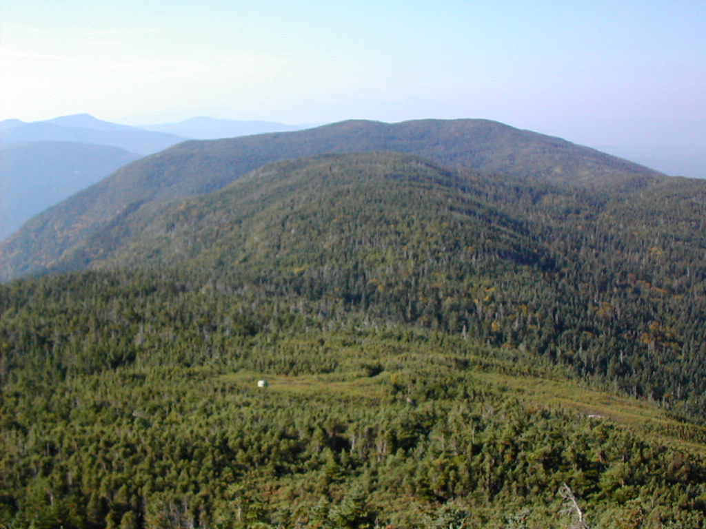
 View of Baldpate from the West Peak |
By 11:25 I was across the col and onto the East Peak. As I neared the dome shaped top, the winds increased significantly to what I would estimate to be over 40 MPH. (My notes say 40 - 50 MPH but I think the wild experience of actually being there may have led to some exageration). The temperature had fallen to 40 and the summit was truly awesoome and beautiful. Sun and blue sky with clouds rapidily moving across the peak. I would say when you are on an exposed peak, and the conditions are 40 x 40 (temperature x wind) with sun, you are at the boundary between fun and excitement, and discomfort and danger. This was definately fun and exciting.
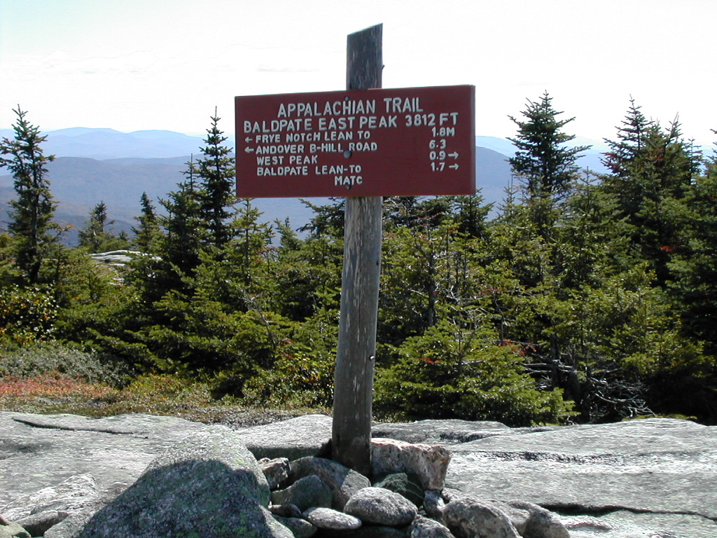 The East peak of Baldpate Mountain |
I kept moving over and down the ridge line, over Litte Baldpate and on to Frye Notch lean-to. On the way down I passed a SOBO flip-flopper named Rye Dog, going up and over the other way. He was dressed in shorts and short sleeves but he seemed very invigotated so I guess he didn't feel the cold and the wind. Ah youth! He mentioned that some of the campsites further on (Bemis, Avery) were dry so I made a note of that. I made it to the lean-to about 12:35 and changed out of my Frogg Toggs and had lunch and a rest. I was now back down below treeline and the day was now sunny and pleasant.
I noticed for the first time that there was extensive leaf litter on the ground in the hardwood uplands below these peaks. It would seem that the heavy rains and winds of yesterday and today had caused a lot of foliage to fall. But the leaves on the ground were mostly green. The were undoubtedly weakened by the summer's drought and didn't have the strength to stay on till the cold weather changed them into the beautiful fall colors we love to see. I also noted that there were a few blowdowns across the trail in this area, something I hadn't seen for more than 100 miles of trail. Say what you will about the AMC, but they do a great job a keeping their trails well maintained.
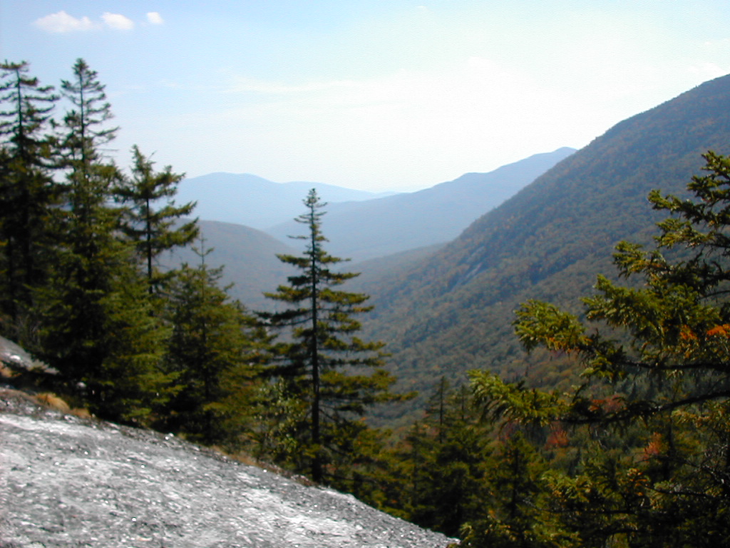
 Looking over the brink at Dunn Notch |
I got down to the road and met my shuttle at 3:00 PM. It had been a beautiful day and a beautiful hike. I am so glad we put this off yesterday and waited one day! One day made all the difference.
That evening at Addies we met Duck Tape (who had hiked the same section as I did today after taking a day off in Bethel
yesterday) and Holywood and So Far who had taken today off. They told us we had done the right thing by
turning back and not hiking over Baldpate in that storm the day before. They said it was cold, wet and so
windy that they could hardly stand up going over the top. I mentioned our hitch hiking bad luck. There were no
winners that day but thankfully we all got through it safe and sound!
e had to decide which section of trail to skip to make up for the loss of a day on the 11th. We decided to do the next section in sequence (East B Hill Road to South Arm Road) today, then skip the section over Old Blue and the Bemis Range and do the section from Route 17 to Rangeley tomorrow. This would get us to Rangeley so we could tackle the Saddlebacks and then on to Sugarloaf and the Crockers starting the next day.
We had breakfast at Addies and saw a number of thru-hikers: Tiptoe, Bubbles, Streak, Duck Tape, Hollywood and So Far. Duck Tape was undertaking the "pancake Challenge" They serve you 3 enormous pancakes (about an inch thick and a foot wide weighing at least a 2 pounds each) and if you can eat them all you don't have to pay. Since the whole shebang cost only something like $3.50, it's mostly for fun, not to save money. Turns out he didn't make it!
The conversation turned to an article in the local paper about a hiker who had died on Mount Madison on the 11th. His name was Peter Busher and was reported to be in his 70s. Conditions on the mountain at the time were described as "winter-like weather". Everyone familiar with the White Mountains knows that could be deadly. The thru-hikers were trying to figure out if they had met him and what his trail name was. Later we learned that his trailname was "Harley" and he was from Virginia. He was moving south, about a month out of Katahdin, doing a flip flop. He had taken a nasty fall the day before, but was reportedly in good spirits the morning of the 11th. It was sad to think of a hiker's death, especially since we had had our own miniature disaster that same day when we aborted our attempt to go over Baldpate. If Baldpate was bad, I hate to think what the Presidentials, more than 1500 feet higher, were like. I looked up the archive of weather reports from the Mount Washington observatory for that day: the low temperature was 25° and the wind speed averaged 44 MPH, peaking at 90 MPH, precipitation was 3.5" snow and ice pellets! Shudder!
We got back to Pine Ellis from Addies and got shuttled to the trailhead on East B Hill Road. We were hiking by 8:55 AM.
 Surplus Pond |
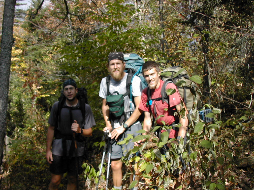 Duck Tape, Hollywood and So Far |
Continuing on, we arrived at the Hall Mountain Lean-to just before noon and we stopped for lunch and a rest. The 3 guys there just finishing their lunch. The temperature was now up to about 60 and the day was cloudy, breezy and we had a few sprinkles, but no "real" rain.
We got moving again at 12:20 and found the downside of Hall Mountain to be rather steep. We met a SOBO named
Sidewinder near the top and then near the bottom his companion Scout. They were not flip-flopping but were
actually very late-starting SOBOs. Hopefully they would be out of New England before winter hit them full
force. We hit the bottom of Sawyer Notch (7.4 miles) at around 1:15 so today's progress was quite good. An
old dirt road headed off south through the forest here and according to the guidebook led to Andover in about
8 miles. I wonder if this used to be the thoroughfare through this valley in times past.
 Looking across Sawyer Notch to Moody Mountain |
Our next and final climb of the day was up and over Moody Mountain. This proved to be a very steep but very well built trail up through a series of rocky ledges. I learned later that this section of trail had been rebuilt recently by a group of college kids. It was a very well done job, reminiscent of trail work in the Whites. There were rock steps, wooden ladders, and metal rungs strategically placed. We reached the top at around 2:25 PM and were treated to splendid views both north and south. The day had become sunny with temperatures in the 70s. Here again I noticed that for many of the hardwoods in the upland areas (above about 2000'), the leaves had already dropped off the trees. Another indication of drought-weakened foliage.
After a rest, we hiked along the easy ridge, around behind Sawyer Mountain and then made the long gentle descent to South Arm Road. We had some great views of Elephant and Old Blue as we circled around Sawyer. Alas, we would not be hiking that section (at least not until next year) since we have to skip ahead to hold our schedule. Just before the road, we crossed Black Brook and there was a lovely campground right near the edge of the brook. The water crossing kept the site a little bit protected from people wandering in since it was virtually a few yards from the road. A simple rock-hop got us across the brook.
 Duck Tape and Payslee at Black Brook |
Our shuttle was about 30 minutes late (unusual for Paul Ellis). It seems he was at the other end of this section (at East B Hill Road) and had picked up Sidewinder but had to wait a good while for Scout, who was a bit tired. On the ride back he told a funny tale about the Moody Mountain trail work. It seems one of the crew, a college guy, was very proud of the work he had done and took his girl friend on a day hike to show off the work to her. On returning to South Arm Road, Black Brook was so swollen from a rain storm that they couldn't get back across it to their car. So they were "rescued" by Paul who pushed a canoe across tied to a rope and then pulled them back to safety. Cool story!
When we got back to Pine Ellis we found that Sidewinder and Scout were settling in, and would be our fellow guests that night. Just then a very nice thing happened: a pickup truck showed up in the drive way and a bunch of thru-hikers jumped out (including Rye Dog whom I had met on Baldpate the day before). It seems a hiker named Yahtzee had picked up my lost fleece shirt at Full Goose Shelter the day after I had left it. It was a cold day and he needed it. He then saw my note in the register at Speck Pond (or maybe at the trailhead at Grafton Notch) and brought it over to Pine Ellis (where I had said I was staying for a few days in my note ). Great news, Thanks Yahtzee! I gave him a beer I had in the fridge for a reward.
We had a very nice meal at Addies - we were joined by Sidewinder. Scout stayed behind at Pine Ellis cooking
an enormous dinner for himself in the Pine Ellis kitchen. A very eventful and successful day.
his was to be the last slackpacking day and the last day that we would use Pine Ellis in Andover as our base camp. To tell the truth, even though this arrangement made our hiking "easier" and I enjoyed Addies restaurant and Pine Ellis, I felt a need to get back to backpacking and cooking. So starting tomorrow we would be back on the trail full time. As for Payslee, she said you couldn't slackpack on the PCT even if you wanted to, so she was equally anxious to get back to "pure" backpacking.
We wanted an early start so we got to Addies at 6:15 AM for breakfast. Sidewinder and Scout joined us since they too were aiming for an early start. They succumbed to the temptation and both took the "pancake challenge". We never did find out if they won or lost that contest. Paul took off to shuttle us up to Route 17 shortly after 7:00. Our full packs were thrown in the back of the car so he could deliver them to Gull Pond Lodge in Rangeley after dropping us off, so we had one more light day. Today's hike was a 13 mile section that was relatively flat but speckled with beautiful ponds. I vowed to get a picture of every pond we passed and I think I managed to do this.
 The view over the Mooselookmeguntic Valley |
When we got there (quite a long drive) Paul insisted on driving just a little bit further around the bend in the road and there we saw an incredible view of the valley to the north west and Lake Mooselookmeguntic. (I swear these names that are supposed to be Native American are made up by these taciturn Mainers to pull our legs.) The entire valley was filled with a cloud and it looked like we were on the shore of an ocean looking out over the rolling main. Paul took the obligatory picture of us in front of this wondrous scene and we were ready to get going. It was clear that this was must have been a fairly regular sight, since Paul knew in advance what we were about to see. But it was no less wondrous.
 Moxie Pond |
 Long Pond |
We got to the lean-to around 10:00 and took a rest and snack break. There were a
couple of weekenders (Java and Jeffrey) and their dog (Foster) packing up at the lean-to and they soon took
off in the direction we had come from.
 Little Swift River Pond |
It was a longer than usual day, but generally easy going. There were a few "step-overs" and a few "duck-unders"
on the trail. We made it to another pond (and of course another photo) at
South Pond and then descended easily to Route 4.
On our descent we got
glimpses of Saddleback which we would tackle tomorrow and it looked quite impressive.
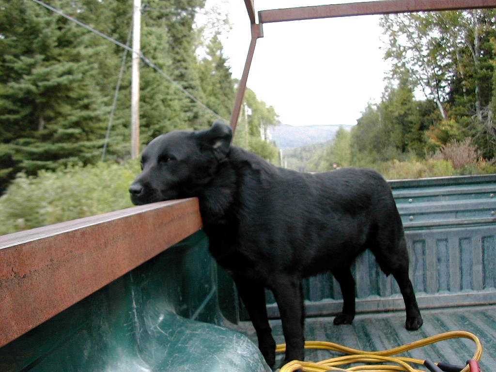 Pickup Truck Dog |
He said he had to make a stop at his house but then would be glad to drop us off in Rangeley since he needed to
do some errands in town. He zoomed up Route 4,
onto a side road and then onto a long dirt driveway. Naturally I had inner fears that he was an axe murderer,
but since he had 2 nice kids and 2 nice big dogs (and no axe in view) I felt reassured (sort of). He pulled
up to his house, then backed around to park the trailer and landed it right next to his SUV in one fast accurate
swing. Backing around a corner with a trailer was not a problem for this guy. He quickly unhitched the rig,
grabbed up the kids and dogs who had scattered in all directions once we had stopped, and started up again
heading to Rangeley. He made a quick stop on a turnout across the road, hoping to show us some moose, but I
guess they were off duty, so he rapidly took off again and dropped us in town right at the alpine
Somethingorother store which supposedly had camping supplies.
The store was mostly selling expensive clothes to tourists, but there was one little corner near the back that had some camping stuff. We were instantly recognized by the hiker sales guy (how did he spot us among all the tourists?) and he came over to help us. We asked if they had replacement filters for my PUR Hiker water filter. The guy said everyone was asking for them and they were back ordered from PUR but wouldn't arrive for another 2 weeks. I guess by this point on the trail everyone's filter was clogging. So we went out and picked up some supplies at the IGA, and headed across the street to the Red Onion for an early dinner (it was only around 4:00 PM). We called Bob O'Brien, owner of Gull Pond Lodge (which was a mile or two out of town) and after our dinner he came by to pick us up. Our packs had been delivered by Paul Ellis that morning and another parcel was also there, a fleece shirt that I had asked my wife to send here after I lost my other one. So now instead of having no fleece shirts, I had two!. It's a feast or a famine!.
Bob had an old dog (much slower moving than the pick-up-truck-guy had, thank goodness) and thru-hikers Church Lady and Elvis and Dropout (a SOBO) were also staying there for the night. We asked Dropout why he got that name and he said it was his good luck to protect him from dropping out! Hey, whatever works, go for it! Church Lady got her name since every Sunday on the trail she tried to get to church where ever she happened to be. So far all the way from Georgia to Rangeley Maine she was batting 1000%. Good for her! Elvis was just Elvis.
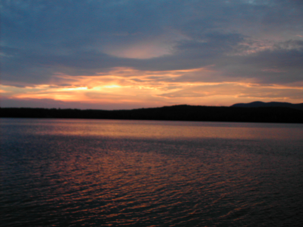 Sunset over Gull Pond |
The sunset over the lake was pretty, but the forecast for the next day was for rain. Cross your fingers ....
e had sprinkles overnight at Gull Pond Lodge where we were staying. In the morning it was not actually raining as we threw out packs in the back of Bob O'Brien's SUV, but it looked threatening. He took Payslee and myself as well as Dropout (a SOBO) to the trailhead on Route 4. As we got out in the parking lot and Dropout headed south, the rain started.
We got going at 8:10. Our goal for the day was to go over Saddleback and The Horn and stay at Poplar Ridge Lean-to. Since this involved over 2 miles above tree line, we wre concerned with the weather moreso than if we were just going through a section like we did the day before. After immediately taking the wrong trail (and Bob yelled out the window "Not there, over there!") we got moving with full packs, high spirits and light rain. Almost immediately we crossed a metal bridge over a stream that was flowing through some kind of sluice. Perhaps the remnant of some old hydro system. I found out later that this was one of only 2 or 3 foot bridges on the trail in the whole state of Maine. To be honest it was almost unnoticed.
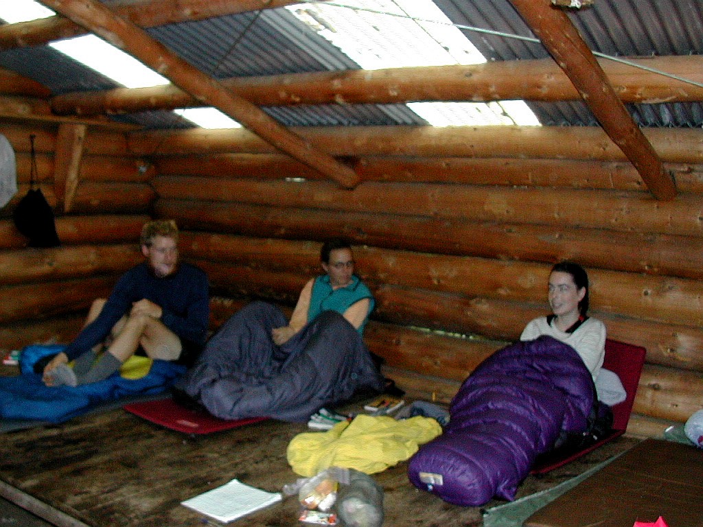 Andy, Amy and Payslee at Piazza Rock Lean-to |
We ate our peanut butter and jelly sandwiches for lunch (the kind of lunch you can only take on your first day out
of a town), got into our sleeping bags and read. We chatted with Amy and Andy about their hike. It turns out Andy
had lost 55 lb. on the trail: this was surprising since he looked like your average lean hiker. Ed, the caretaker,
came by and since nothing was going on he stayed for a couple of hours and just chatted. He had a tent up the hill
a bit and was a neat guy. He said he could get into town in under an hour. I enjoyed his stories , especially of
campers that he had to get to move out of stealth sites into the designated sites at Piazza Rock. Since the
Saddlebacks were just up the trail, he had an important educational role to make sure hikers were careful for
themselves and for the delicate alpine environment in the area.
 Piazza Rock |
The privy was also interesting and amusing. When you go by there, be sure to check it out, both outside and inside.
Eventually we decided we would be stuck here for the night and we went over our supplies to make sure we could make
it to Stratton with the food we had brought. We also discovered by studying the trail guide and asking the caretaker
that Crocker Cirque Campsite has no shelter - just a tenting area. This was an "Oops" moment for us, since we had
sent our tent back home from Andover to save weight. Stupid! So we figured what options we had: stay at the
"Sugar-shack" (the ski warming hut) on Sugarloaf; camp out with just out tarps (hoping for good weather);
or get a ride to Stratton from Caribou Valley Road and do the Crockers as a day hike. We would figure that out later.
We cooked dinner, and got to sleep early. Rain rain, go away ...
t rained all night and continued into the morning. We stayed in our bags as long as possible and then cooked breakfast about 8:00 AM. We gave ourselves a deadline of 10:00 AM: either go on, or go back to Stratton to dry out and resupply. We already knew that we had to cut more of our planned mileage if we were to make it back to Boston on time.
The rain didn't let up so we started back and made it to the road at around 10:45 AM. Just before we got to the road, we met a man heading north who introduced himself as Digger. He said two of his friends were following shortly behind. When we got out to the road we saw the two others and in fact Digger had come back to find them or perhaps to make sure they found the right entrance to the trail. They had evidently camped the night before at one of the sites in the previous section and were heading on to the Lean-to where we had just spent the last day. They were carrying fairly heavy packs and they were all very wet.
We got picked up almost immediately and got back to town by 11:00 AM. I called Bob O'Brien at Gull Pond Lodge and told him what had happened and said we would like to stay there again that night, which was fine with him. He was coming to town shortly so he agreed to meet us after lunch at the laundromat to take us back to the lodge. We did some shopping, had lunch and did our laundry. The rain eventually did let up, but it was too late to go back to the trail. I bumped into Bob at a restaurant where he was having lunch along with Church Lady and Elvis. I also met Honey and Homey on the street, with her parents. It seemed like everyone was in Rangeley today.
We got back to the Lodge in the early afternoon and we reformulated our plans. We decided we would cut short our hike at Stratton (and save Caratunk for next year) and get an early bus to Boston on Saturday the 21st so we could make my grandson's birthday party that afternoon. We would thus have 4 days of hiking and stay at Poplar Ridge Lean-to and Spaulding Mountain Lean-to the first two nights and hopefully get a shuttle at Caribou Valley Road and stay in town on the third night. The short hike (8 miles) between Poplar Ridge and Spaulding Mountain Lean-tos on Wednesday would allow ample time to do the side trip to Mount Abraham, and the use of day packs and the even shorter distance (7.3 miles) on Friday over the Crockers from CVR would make it easier for us to attempt the bushwhack to Mount Redington from South Crocker. So by stretching what was essentially a 3 day hike into 4 days, we would pick up both Abraham and Redington as off-trail "extras" (besides making life easier for ourselves). I made a few calls: I cancelled the shuttle from Caratunk; arranged for a pickup at Caribou Valley Road on Thursday; and arranged for a shuttle from Stratton to the bus stop in Waterville for Saturday. Charlie Bruce, the Stratton Motel proprietor, was more than happy to do the shuttling and was familiar with the routes and pickup points.
Several hikers showed up at the Lodge including No-See-Um who had got separated from his brother. About an hour later Bob O'Brien got a call and went to pick up the missing brother. It seems he went back a few miles on the trail to find No-See-Um (who in fact had hitched to town). All's well that ends well. To cap it all off, Duck Tape, Hollywood and So Far showed up about 8:00 PM. It was like old home week at Gull Pond Lodge.
 Clearing Skies over Gull Pond |
After dinner I took a walk outside to look over Gull Pond. Clearing skies - good news finally!
e got an early start after breakfast. Duck Tape joined Payslee and myself in the van to get an early start over the Saddleback range. Hollywood and So Far would follow later after doing some errands in town. We all planned to stay the night at Poplar Ridge Lean-to.
 Eddy Pond |
We got to the now familiar Piazza Rock Shelter at around 9:00 AM. Duck Tape was taking a break there, but after changing my shirt we moved on. The area past the Lean-to - which was new ground for us - was lovely with several nice ponds and easy climbing. We passed Eddy Pond and took the short side trail to check it out. This side trail crossed a woods road and the way to get back to the AT was a little confusing. The trail then got rather steep - but not too bad - a series of stair climbs and slabs. By 11:00 AM we had climbed 1600' according to Payslee's altimeter watch. We took a short break and then resumed our climb, making it to the top of Saddleback by 12:00 noon.
As we got above treeline and close to the summit the wind increased substantially (probably to the 30 - 40 MPH range).
The peak wind speed was where the steep side of the peak leveled off a bit at the dome, rather than at the summit
itself. The shape of the mountain clearly funnels the winds up and over.
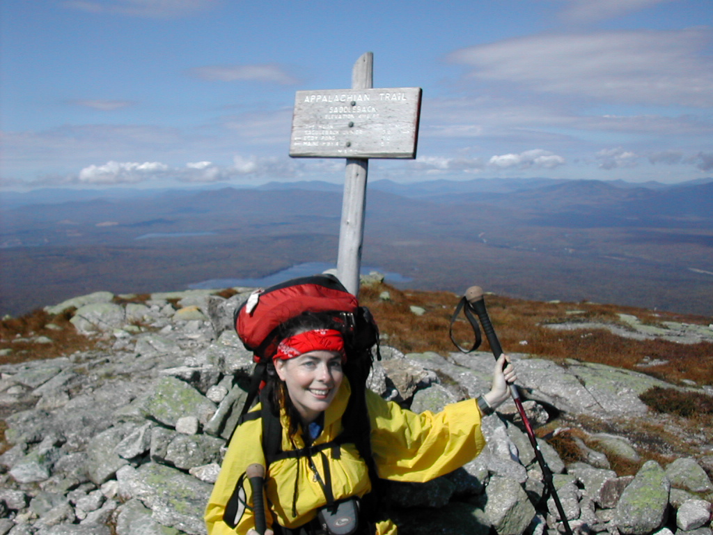 Payslee at the Saddleback Summit |
We got to the summit and after the obligatory photos we found
a little rock shelter
just to one side of the summit and
took about a half hour for lunch and relaxing. There were 360° of awesome views. To the west was
Eddy Pond
which we had passed in the morning and
Eddy Pond
beyond in the distance (with a glimpse of the Saddleback ski warming hut) . To the North and East was the
Carrabassett Valley with
Spaulding, Sugarloaf
the Crockers and Redington forming a massive semi-circle, with the
rocky
ridge of Abraham
slanting off to the south like a spoke coming off of this gigantic hub. We were
expecting Duck Tape to move on by at any moment but he didn't.
 Across the col to The Horn |
 Down off Saddleback Junior |
 Poplar Ridge Lean-to |
Digger said that Church Lady and Elvis were also at the Lean-to when he got there but they had just moved on. They had started up from Route 4 yesterday after the rain had let up and stayed overnight at Piazza Rock (where the three Canadian guys had also stayed) to get a head start at going over Saddleback this morning, and intended to camp on the old rail bed just above Oberton Stream tonight (about 2.7 miles further on). I can only assume that Amy and Andy had gone over Saddleback late yesterday (after we had given up and gone back to town) and were now a day ahead of us.
We started to settle in and prepare dinner when Duck Tape showed up a little after 5:00. It seems the "trail had
gotten lost" around Eddy Pond
(which we had also found confusing) and after doing some exploring, the trail once again
had found him and he crossed the Saddleback Ridge well after us. Then about an hour later, Hollywood and So Far
also showed up. They kidded Duck tape a little about his misadventure at Eddy Pond and then the three of them set
up their tents (which they preferred to shelters except in heavy rain) and made their dinner as well. Curiously
they each had a different type of shelter (a Clip Flashlight, a hammock and I forget the third type) and a different
type of stove (a tin can alcohol stove, a Wisperlight and an Esbit as I recall), but they were all pretty much at
home with their gear as you'd expect after some 2000 miles of backpacking.
The Lean-to itself deserves some comment. It was one of only two of the original "baseball bat" lean-tos still on the trail (I'm told the other one is in the 100 mile Wilderness). This refers to the floor which consisted of round fir logs, about 6" in diameter. With a good sleeping pad such as a Thermarest this was not too uncomfortable, but without some real padding underneath it would be a veritable torture chamber to sleep on. Hence the name "baseball bat" lean-to. There was a long and rather humorous explanation left in the Lean-to by the maintainer (Dave Field - who at various times was chairman of both the ATC and the MATC). It seems that Dave, with his sister, had actually cut and stripped the logs for the floor, and with his brother, helped the crew to build the lean-to in the early 1960s. The intent was that the first campers of each season would cut fresh fir boughs from the surrounding area and lay them over the floor to form a soft aromatic bed for sleeping. With the heightened sense of preserving the forest (especially so close to an alpine zone where this lean-to was located) in more recent times, the use of fir boughs had been supplanted by synthetic sleeping pads such as we use today. A number of other features of the lean-to were explained as well (such as why there is that deep gap between the log at the entrance of the lean-to and the rest of the floor - you know where you practically fall and kill yourself when you get up in the middle of the night to take a pee). You must go there and read it yourself, I'm not giving away any more of the secrets.
e arose at 6:30 AM. It was a beautiful clear morning, though a bit chill. The three Canadian guys were up and about as well, and we all made our breakfasts. We chatted a bit about the thru-hikers who always seemed to sleep late but ended up getting through the day's journey faster that the rest of us. We got ourselves packed up and were off at 7:50 AM. None of the thru-hikers had yet to stir as we left.
 Fog in the Oberton Valley |
As we started down off the ridge we saw the valley below us filled with fog with the mountains beyond bathed in sunlight. The descent was a bit steep, with some rock slabs. Payslee slipped on one slab and hurt her ankle. This would bother her when she put her full weight on it for the rest of the day.
We met a day hiker coming up the slope: it was Big Red, who was actually a NOBO thru-hiker. He was slack-packing each section, sometimes in the reverse direction. He started earlier that morning at a logging road past Oberton Stream (about 3 or 4 miles from where we were) and was heading for Route 4. We learned later that he was cooperatively slack-packing with two other thru-hikers (Sunrise and Sunset) and they would exchange keys for their cars each day as they passed each other mid-section. We met up with them a couple of days later.
 Sluice Brook tumbles over a rock slab into Oberton Stream |
 Logging Road above Perham Stream |
We got going again and reached the side trail to Mount Abraham. It was 1.7 miles to the Abraham summit (3.4 miles
round trip) and Payslee decided to keep going to Spaulding Mountain Lean-to while I made the side trip to "bag"
the peak.
The Side Trip to Mount Abrahamdropped my backpack and pulled out a small day pack I had, put my water, rain gear and trail food in it and got going.
|
Back on th AT, I switched back to my pack (which was still there safe and sound) and made my way to the Spaulding Mountain Lean-to, about a half hour further on. On the way I met a SOBO named Gourmet Dan who had stayed at the top of Sugarloaf last night. He waxed eloquent about the sunset and views - it turns our he was a photographer and was carrying a lot of equipment.
 Relaxing at Spaulding Mountain Lean-to |
When I got to the lean-to I found everyone else had passed me while I was doing the Abraham side trip and had made it to the lean-to ahead of me - the three Canadians as well as Duck Tape, Hollywood and So far. The Canadians were hanging their clothes to dry (from that rain the day before yesterday), Payslee was relaxing reading a book and the thru-hikers were pumping water. They intended to camp that night at the top of Sugarloaf (where there was no water) and were making their last water stop before setting off. Someone mentioned that Gourmet Dan had left there shortly before my arrival (which I knew) and that he was carrying 25lb of photo equipment and a battery powered watch-man (a portable TV!). He expected to shoot some 10,000 pictures in his southbound trek! Quite ambitious!
It had been a short day (even including the Abraham side trip) so we finished supper early and after reading a bit I got an early bed. The three guys built a camp fire and played with it a bit until they too turned in.
e took it easy breaking camp this morning since the day would be both short and with little elevation gain. We were going to climb the side trail to Sugarloaf and have lunch there, and then descend the steep northern side of that mountain to Caribou Valley Road, where a shuttle would pick us up in the early afternoon.
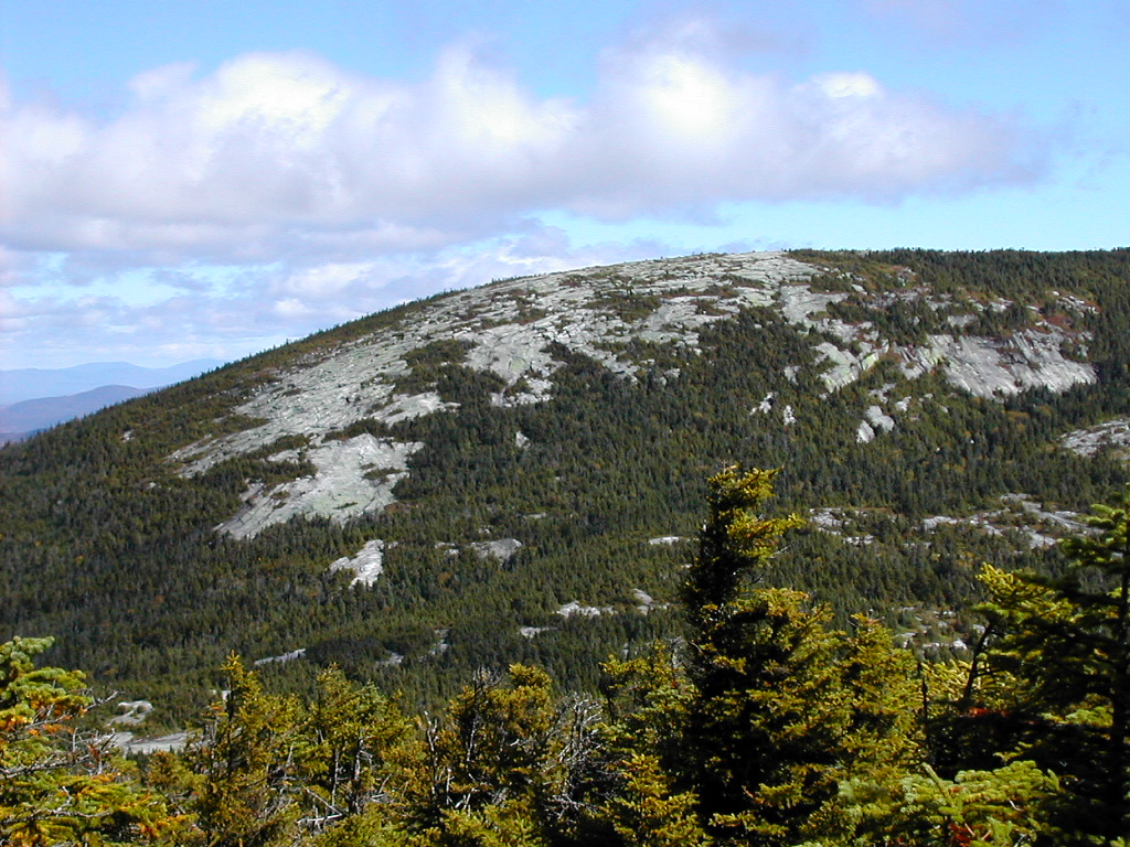
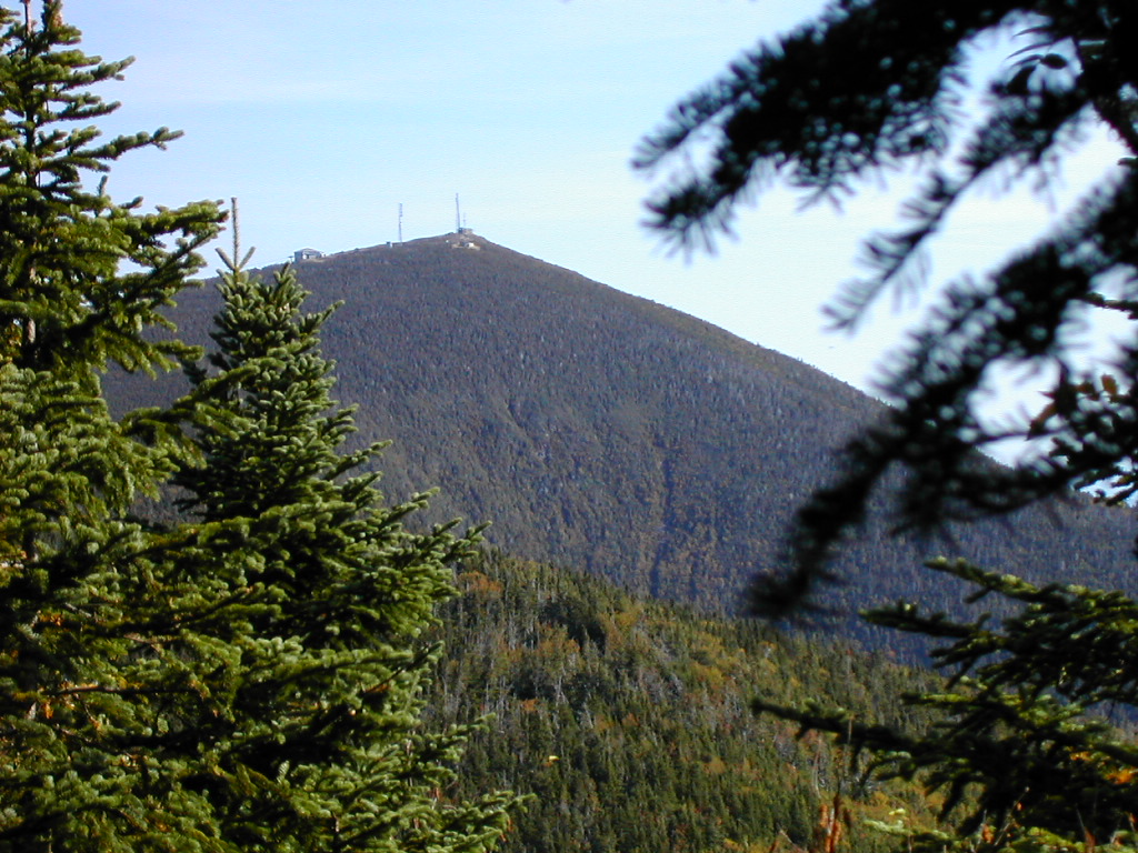 View of Sugarloaf from the trail |
 Commemorative Plaque |
In about an hour we reached the point where the trail turned left, and straight ahead the side trail to Sugarloaf began. As in the case of the trail over Old Speck, the AT used to go straight over Sugarloaf. It was relocated a while back to keep the trail away from the ski area there.
The Side Trip to Sugarloafe dropped our packs and put our lunch food and water into our day packs. We saw the three packs of the Canadian guys were dropped there as well. They had left before us this morning but were also planning on taking a lunch break atop Sugarloaf. Just then, down the trail from Sugarloaf came who else but Duck Tape, Hollywood and So far. They had spent the night in the "Sugar-shack", a ski warming hut on the summit and said they had beautiful views and a gorgeous sunset from the top last night. They were headed over the Crockers and into Stratton today so we said we would probably see them there.
We went into the "Sugar-shack" from the basement and found it to be rather rundown, with old equipment and plywood scattered about. The remnants of an abandoned gondola lift were in the basement.
We relaxed a bit on the porch and enjoyed our lunch, especially the cheddar and Swiss cheese which we wanted to use up. The sun was hot and life sure felt good at this moment. In spite of the ugliness of the "civilized" encroachments to this summit, I highly recommend the side trip here, especially if the weather is clear. After all Sugarloaf is the second highest peak in the state - after Katahdin. But remember if you plan to stay over night, bring your own water. The three guys got moving around noon, and after contacting our shuttle confirming the time for our pickup, we too got moving. We reached the bottom of the side trail about 12:50 PM and found the three of them resting at the trail intersection. This, after .6 miles down hill! | |
 A steep rocky section |
We got to the Carrabassett River about 2:15 PM, just as Digger caught up with us. This was a fairly easy crossing, but like Oberton Stream on the other side of Sugarloaf it looked like it would be very treacherous in high water. It was now 85° and we were glad we weren't planning on climbing the Crockers today. The other two Canadians were a short distance behind and we could hear their voices as they approached. We mentioned that were going into town tonight and had a shuttle arranged (and Digger seemed a bit jealous). This would be their last night on the trail and they planned to go on to Crocker Cirque tonight and finish up the next day. We said goodbye since we might not see them again.
 Crossing the Carrabassett |
Caribou Valley Road is actually a private road owned by the logging company but it is more than just a "logging road". It is graded for heavy trucks and had several heavy metal grating bridges over streams. It is however heavily rutted and it takes a heavy duty suspension to travel over it (at least at the speed that Charlie took it). It is typically used by hikers to get to the AT as well as an access point for climbing Mount Redington, a couple of miles further in. Just stay out of the way of the logging trucks!
 The Stratton Motel |
Around supper time Duck tape showed up and checked in as well. They had made the trek over the Crockers and would all be staying in Stratton tonight. Hollywood and So Far were a little ahead of him but as it turns out they never got to the motel - they checked into another place a few hundred yards up the road. As we ate our spaghetti, Duck Tape consumed a whole pizza.
After supper I finished a Sci-Fi book I had picked up in Andover and contributed it to the bookshelf here. We arranged with Charlie for an early (7:30 AM) shuttle back to Caribou Valley Road for the next morning so we could complete the last segment of trail, and got an early bed.
 The Trail up South Crocker |
We had an early breakfast across the street at the diner and we were ready to go by 7:30 AM. Charlie got going shortly thereafter and we were off down Route 27 to Caribou Valley Road. The ride over this rutted dirt road was no less jarring than it was yesterday but this was in keeping with the character of this rugged outpost of civilization.
 Papa Bear on South Crocker |
We passed the side trail to Crocker Cirque Campsite in about half an hour. There was no sign of the three Canadians,
nor did we see them all day, but we assumed they were there and had simply passed us when we were doing
the Redington side trip. The trail became steep and rocky for about a half mile but was otherwise not too bad. The
humidity was getting a little heavier as we warmed up in the ascent. We
reached South Crocker at about 9:20 AM (it is located on a very short side trail off the AT: no more than 10 or 20
yards).
The Side Trip to Mount Redington
We left a note at the AT South Crocker sign of who we were and where we were going (in case we got lost) and at that point we met a couple of hikers who had just reached that point: Sunrise and Sunset. This was a thru-hiking couple who were slack-packing the trail, one section at a time. We learned later that they were doing it cooperatively with Big Red (whom we had met the day before yesterday hiking up Poplar Ridge). They would exchange car keys as they crossed paths in each section. We later heard from Big Red that they all made it to Katahdin in about another two weeks.
At the top of the col (by which I mean the high point when crossing perpendicular to the ridge line. You could also call this the "bottom" of the col since it's the lowest point on the ridge line.) we found our next herd path. This went up almost directly on the ridge line heading up to Redington, and was somewhat easier to follow. If there are no markings and you try this, just set a bearing from the top of the col on the woods road to the top of Redington. I got the sense that the Spruce here was younger than the section we had just traversed. There were several open areas and no serious blow-downs.
After lunch we reversed the trek back to South Crocker. This time it took only about a hour and 10 minutes since we knew the route and didn't take any wrong turns as we had done getting there.
|
When we got back to South Crocker we sat down and ate a second lunch. We found two other hikers there: Mario and Migrator. They were SOBO thru-hikers (not flip-floppers) and the reason they had started so late is that they had to first finish their summer jobs as camp counselors. It was at the camp they had met and decided to hike the AT, and they were off and doing it. I just hope they could get through the worst of the Whites before the weather got too heavy.
 A beautiful Birch grove |
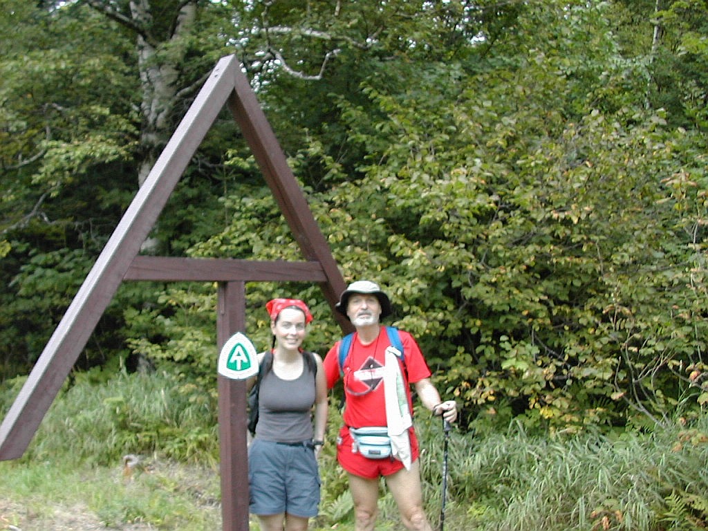
 The end of the trail |
After a shower and a short rest, we got a ride from Charlie to a restaurant at the other end of town: Mainley Yours. As we got into his van, who should yell a hello at us but Yahtzee (who had returned my lost fleece shirt a week and a half ago in Andover). He was staying at the B&B just down the road (the White Wolf Inn) with none other than Duck Tape, Hollywood and So Far. They had all taken a zero day, and Duck Tape had moved over from our Motel to be with his friends.
The restaurant had good food and character. It seemed to have an Elvis theme and the high point (culturally) was when the plastic alligator sang an Elvis imitation. You gotta love it! We walked back to the Motel, and chatted briefly with the boys at the White Wolf. We got skeptical looks from them when we described our bushwhack ("Well were there nice views?", "No, not really."). To each his own.
Tomorrow we would get an early shuttle from Charlie to Waterville, take the bus to Boston, and reenter civilization at my grandson's first birthday party. But for now, we were done.
sually this is the section of my trip reports where I put in stuff like how the stove worked, did my boots leak, etc. Well there's not much to say this time about gear performance, pack weight and so forth. I think the more you hike the less you obsess about those things and the more you just get in the groove and go with the flow.
Of course if something really doesn't work like it's supposed to, you will notice and probably complain. In that category were 1) The PUR water filter - it just got very tough to pump even though it was not visibly clogged. A couple of thru-hikers mentioned that the PUR filters tended to jam up like that (Duck Tape had a similar problem) and you should get a replacement filter from PUR. Now that I'm back I still haven't gotten around to doing that, but I know I will have to do something before my next long trek. 2) My Nikon digital camera - there seemed to be a lot more out of focus pictures than on previous hikes. Either I'm getting careless or the camera's auto-focus system is not working like it used to. Paradoxically the close-up mode ("Macro zoom") that I use for wild flower pictures seemed to work fine. More investigation will be needed on this issue.
Aside from gear, an important lesson I learned from this trek was one of flexibility: don't be a slave to your schedule. Take a day off when you need it, in fact plan on days off. And don't be afraid to sit out a rain storm and wait for a better day to do a section. This is particularly true of exposed alpine sections. Not only is it a matter of enjoying the extraordinary beauty of these areas on a clear day (and the excitement on a clear windy day), but it is also a matter of safety to stay off these ridges during intense weather.
But the real topic of this summary is Why do I hike?, Will I do the whole trail someday?
In short ...
Having thought about what motivates me for some time now, I have come up with two somewhat (but not necessarily) contradictory drives:
1) The compulsive, goal oriented drive. I'm a marathoner. I'm a peak bagger. I thrive in setting tough goals for myself, even goals that take months of preparation or months to execute. Just wanting to hike the AT "because it's there" is just the type of thing that satisfies this "need" of mine. This kind of goal often gets me out the door, gets me planning to do great treks, planning on qualifying for the Boston Marathon "just one more time". The recognition I inevitably get from friends and family is also part of this. It certainly strokes my ego to be considered the one who can undertake things the average person would never consider. I'm the "Marathoner" of the family. I'm the "Appalachian Trail Hiker" of the family. My wife is proud of me and doesn't hesitate to tell her circle of friends (Thanks, Mrs. Bear!).
But there's something else, perhaps more important: It's just plain beautiful out there! So often your hear variations on the quote "The journey is the destination". And remember that wonderful scene from The Little Prince, where they watch a passenger train go roaring by. It's the little children who are looking out the train windows to see the wonders of the countryside. The adults, the "serious" people, are too busy, too concerned about just getting to wherever they're going.
So ... there is a second drive:
2) The need to be in, and enjoy, and be part of the world. I say "the world" not "nature". Yes, there's lots of nature, lots of wildness out there (although perhaps not enough), but there's also lots of history, lots of culture and not least, lots of great folks. One of the great lessons I learned in my days and weeks on the trail is the variety of locales, the variety of landscapes, from the very wild (like some of the areas in Maine I went through on this particular hike) to the very tame (like the beautiful walks along the Housatonic in Connecticut). I loved the whole of it. And all the towns and hamlets along the way from Culver's Gap to Fort Montgomery to Kent to Manchester to Hanover to Gorham to Andover to Stratton. All different, all charming (well I'm not sure I would call Hanover exactly charming!) and each one a positive experience. Those who blindly follow the trail to get to the end and say "There, I did it!" are missing an awful lot. In a way I'm glad my schedule put me among the thru-hikers who would finish well into October, rather than among those who finished up much earlier. They seemed to be enjoying the journey very much. I'm sure for most of them the journey was the destination. And they certainly were having a lot of fun along the way.
 |
Lot's of folks have asked me "Well, are you going to do the rest of the trail?" To be honest, I have no idea. It's a reasonable goal but there are lots of things out there that I also wouldn't mind doing. Perhaps they're asking me the wrong question. If they asked "Are you going to keep on stopping and smelling the roses?"
YES, I AM!
|
Click here for a complete album of photos from this hike Click for Papa Bear's Home Page Click for the Backpacking Page |