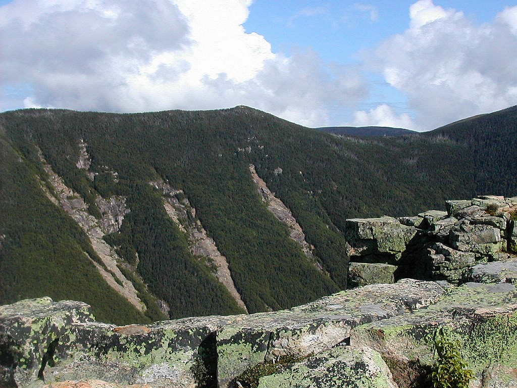
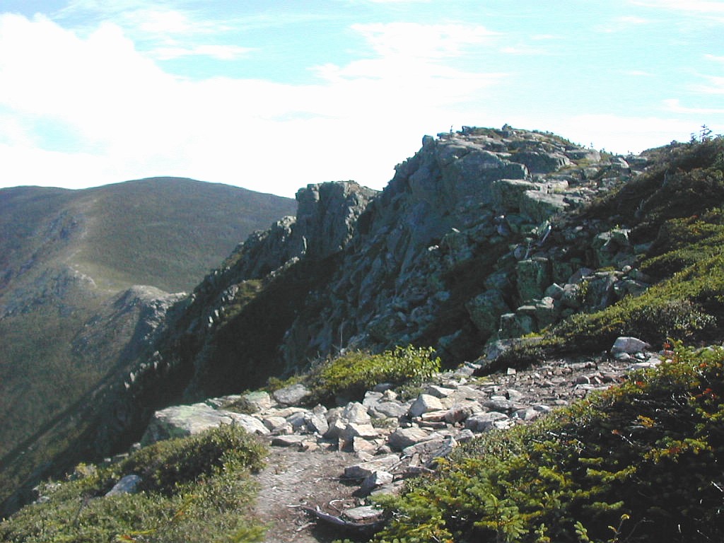
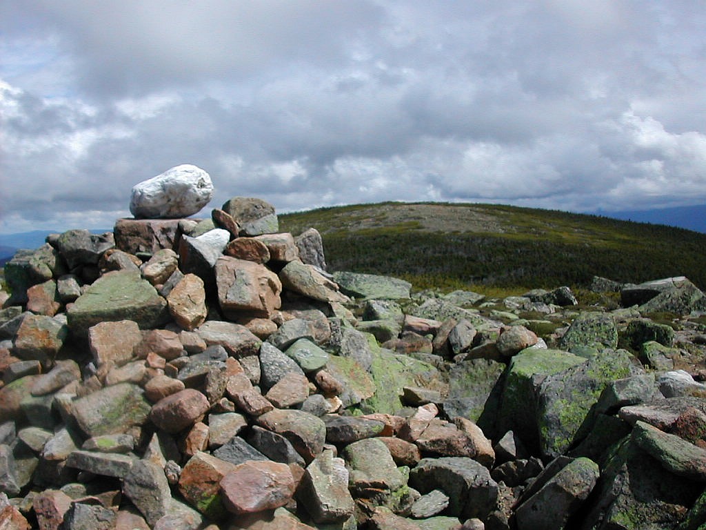
West Bond from Bondcliff
(Click on this or any picture for a larger image)
|
West Bond from Bondcliff (Click on this or any picture for a larger image) |
|
Click here for a complete set of albums of these hikes Return to Papa Bear Home Page |
| I |
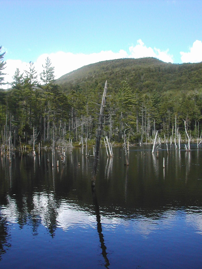
 Owls Head in the heart of the Pemi |
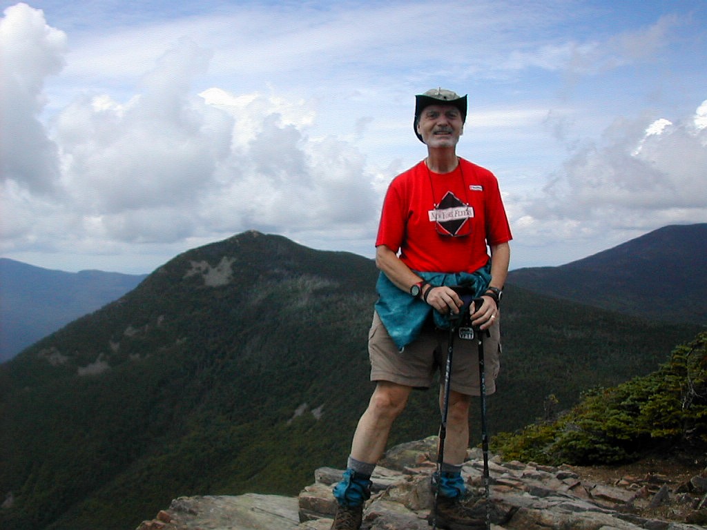
I intended to make this trip as a hut-to-hut trek such as I have done for the last couple of years (see my reports: 2002 hut-to-hut trek, and 2003 hut-to-hut trek) but this time the third night was a problem. In attempting to get across the valley from the Franconia Ridge to Bondcliff via Owls Head, it was just too far to get to either Galehead or Zealand Hut, so I pretty much had to camp out that night. This meant I had to bring my overnight equipment for the whole trek, which meant a heavier pack and of course slower going, but what could I do? I was also going solo this year, which added some risk if I got injured or lost somewhere, so a check-in schedule with home was called for. But all-in-all I made it back and didn't get lost or break an ankle. Weather was excellent in spite of dire forecasts. For at least some of each day (most of Wednesday) the hike was along the AT.
Here's a Topozone map [Click for map] which shows the area and all the peaks I climbed (except to the one to the west of Route 3 I did on Tuesday). You can change the scale or pan east-west or north-south with Topozone if you want to look in more detail at this area.
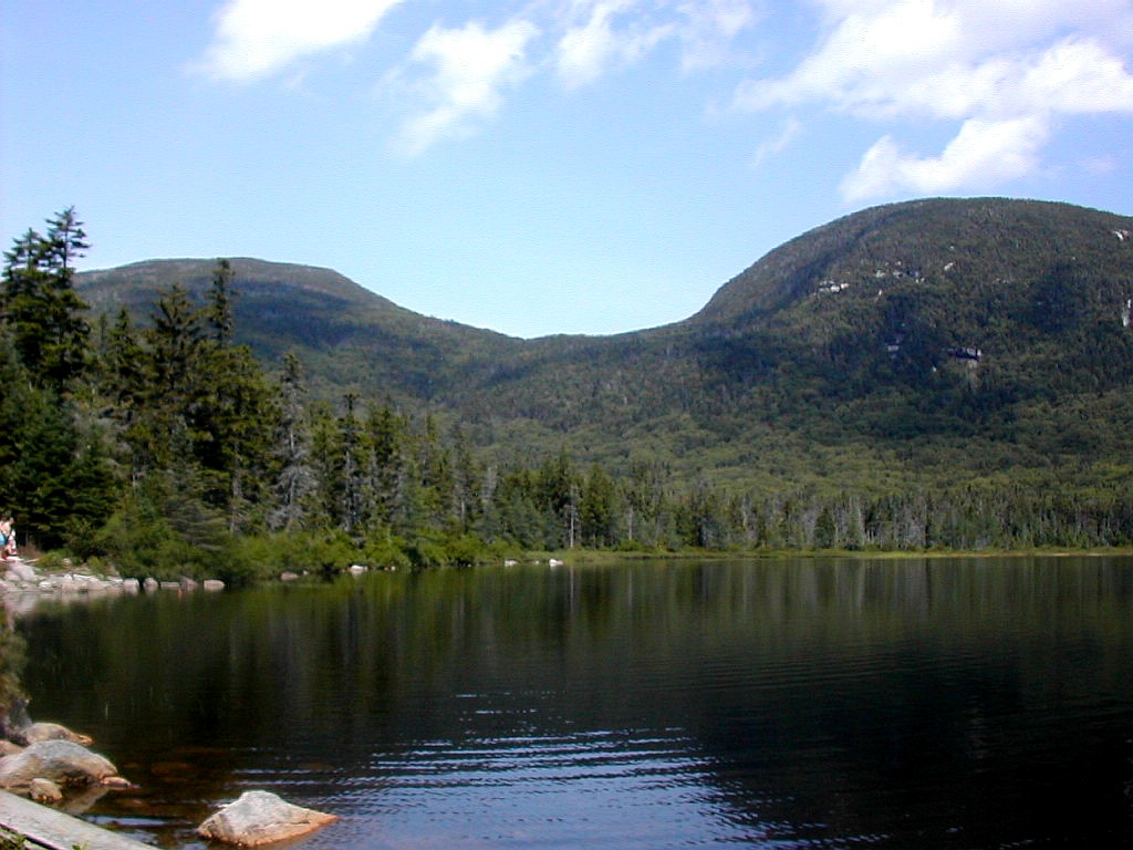 NE Cannonball and Cannon over Lonesome Lake (Click on this or any picture for a larger image) |
| I |
I left Natick around 5:30 AM to make the drive up to New Hampshire. I had been given estimates of between 3 and 4 hours to make the trip to the Whites. I needed to get to the AMC shuttle pick-up point at the Zealand Trailhead on Zealand Road by 10:10 AM so I could get over to my starting point in Franconia Notch and get going by 11:00 AM. I took the Mass Pike in to Route 128 (I-95) and then 128 up to I-93, which took me all the way up and through Franconia Notch. I stopped on the way at some unremembered New Hampshire town at a Dunkin Donuts for a poor excuse for a breakfast. The traffic was next to nil and I was in Twin Mountains by 8:15 (the 3 hour estimate was more than adequate). I stopped at the Twin Mountain Trading Post for a parking permit, and then drove over on Route 302 to Zealand Road. I parked at the Hale Brook Trailhead and changed into my hiking stuff, saved my car clothes, and donned my overnight pack, which I had pared down to 20 lbs (minus the water which added about another 3 or 4 lbs). I then tested my legs by hiking the easy mile along Zealand Road up to the Zealand Trailhead where the shuttle stop was located. I was way early, getting to the shuttle spot by about 9:20. It was
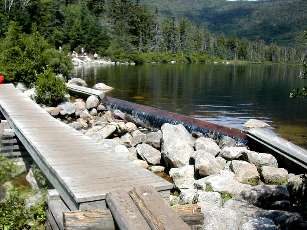 The outlet of Lonesome Lake |
The shuttle showed up about 10 minutes early and the older gent who was driving had my name on the list and those of another couple who showed up about that time. The shuttle seems to run on time and at $10 for anywhere to anywhere it was a good deal. My trip was quick: just up to Twin Mountains and then down to Franconia Notch, but longer trips (like those originating in Pinkham Notch) can take quite a while. The shuttle made one stop at the Gale River Trailhead and then went down Route 3 and I-93 to the Lafayette Place Campground where the Lonesome Lake Trailhead is located. I arrived just at 11:00, exactly on time.
First off, let me say that Lonesome Lake, the Hut, and the peaks I climbed on this day are not in the Pemigewasset Wilderness. This area west of Route 3 would serve as a warmup to tomorrow's hike which would bring me up to the Franconia Ridge and the Pemigewasset Wilderness proper. The Hike up to Lonesome Lake Hut was fairly easy. The trail up is 1.6 miles (and about 1000' of elevation gain) of first a flat section, then some rocky going and finally a few ledges till we finally caught sight of Lonesome Lake, which in my opinion is beautiful in any weather
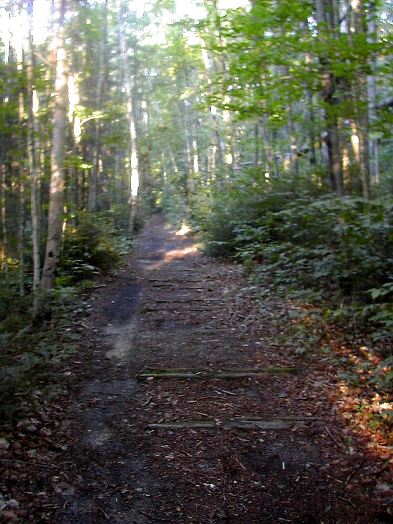
 The Fishin'Jimmy Trail |
The plan was to climb Cannon Mountain and the Cannonballs. First I thought I would start at the tramway parking lot and climb Cannon from the north and the cross over the Cannonballs on the Kinsman Ridge Trail and then down to the hut. But the shuttle did not stop at the Cannon tramway and besides I thought it would be easier to go up to the Hut first, dump most of my stuff and then do the peaks as a loop from the Hut. This was supposed to be a short easy day. Here's a Topozone map of this area showing Lonesome Lake, the hut, trails and peaks: [Click for map].
So I hiked up the Fishin' Jimmy Trail to the Kinsman Ridge Trail. The idea was to then cross the Cannonballs and climb Cannon. This was a tactical error. The 'Jimmy was very tough and I ran out of time. The very steep and rough route combined with the heat and humidity torpedoed my plan. I also got a few sprinkles on the Kinsman Ridge Trail. So I crossed the Cannonballs all right, but I had to skip Cannon and retreat via the Lonesome Lake Trail back to the Hut. I should have simply gone up this trail, climbed Cannon, returned and climbed NE Cannonball (One of the
 The "summit" of Northeast Cannonball |
I got back to the Hut around 4:30. The sky was getting dark and rain would soon follow. I changed into "camp clothes" and straightened out my stuff. This hut has separate bunkhouses and I met my roommates: a couple with their 10 year old son who were up here for the first time. One thing I always love to see is all the newcomers and families at the huts. You can see future hikers in many of these 6, 8 or 10 year olds. And I admire the family who will spend the money on this very rough vacation (especially for young kids) instead of another trip to Disneyworld. And I love it in the evenings with folks playing cards or Scrabble with their kids. You know at home they would all be just watching the boob tube. But I digress.
It rained rather hard for a few hours and I was glad to find myself under a roof. A couple of thru-hikers ("Publics" a SOBO flip-flopper and "Roadrunner" a NOBO) showed up and got work-for-stay. Roadrunner said the Kinsmans were the toughest section of the AT he had done yet. I told him wait till you get to the Mahoosucs. They were good guys enjoying their hikes.
I was off to bed at 9:30, lights out time. Tomorrow would be a long day.
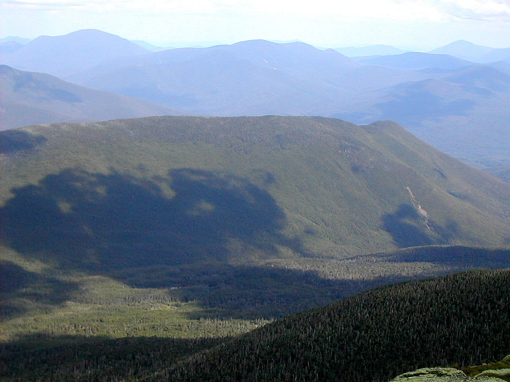
 Mount Lincoln (Click on this or any picture for a larger image) |
| T |
 Cascade Brook |
So off I went down the Cascade Brook Trail (the AT). It is a pleasant, easy descent of about 3 miles along side the brook to the crossing under Route 3 (I-93). The trail crosses the brook at one point but this turned out to be an easy rock-hop. The streams are not particularly high. I remember when I did this trail a few years ago I had quite a problem crossing this stream. I met a thru-hiker moving south named "Pick" and we chatted briefly.
I took a short break where the trail goes under the highway and changed into shorts and my short sleeve Coolmax top. The weather was not as warm as yesterday and much less humid so it was a real good hiking day. Skies were clear with a mixture of sun and clouds. It looked like it would be a great day to be on the ridge.
I then started up my one tough climb of the day: the Liberty Springs Trail, which rises over 3000' in a little over 3 miles. The terrain varies from packed dirt, rocks, rock stairs and occasional ledges, but the direction is always up. It's not as steep as some trails such as the climb up South Kinsman or Wildcat, but it falls just slightly behind those. It's rather like the trail up South Twin from Galehead, but about 3 times longer. I felt my pack on this climb, I'll tell you. But I was feeling good because I knew once I hit the ridge, the gradient would be much easier and the views would be great. I passed the campground which appeared deserted and eventually got to the ridge line. It took about 2 hours to climb this trail. I was planning to drop my pack before I went over to Flume and back but I decided to keep it until I got to Mount Liberty which was only .3 miles further on. The trail up was gentle at first and then, as is typical of so many White Mountain summits, it was steep and rocky the last tenth of a mile or so to the summit. And what a summit! I had never before been to the Franconia Ridge when it wasn't shrouded in fog or rain, and I'd never been to Mount Liberty before, ever! This is one spectacular peak. With it's double jagged rocky pinnacles, it's 360° views, and the correspondingly spectacular surrounding mountains. From Flume directly
 Papa Bear on Flume Mountain Mount Liberty behind |
But I had places to see and miles to go before I slept, so after a short break I stashed my pack and went off to Flume to the south. It was just a few minutes past noon. Just as I left, a camp group of about 10 boys and a couple of teen age leaders showed up, so my timing was impeccable. The trail down to the col was rather ledgy at first but then was rather gentle and pretty through pleasant second growth and a few boggy areas. Flume Mountain has a rather rounded peak when approached from this side. The steep part is on the west side, facing Franconia Notch. The summit is a series of crags overlooking the steep slides and cliffs. There were a couple of hikers here and I got one to take my summit photo. I asked, rhetorically, "How could anyone climb that trail?" nodding over to the slide ascending from below from the west. One of the other hikers chimed in "With great difficulty!". How true.
I then hiked back to Liberty and retrieved my pack. There was a family group here and the father took my picture before I moved on back along the Franconia Ridge. The other three peaks along the ridge - Little Haystack, Lincoln and Lafayette - were all familiar but I had never before seen them on a clear day. It was not actually sunny - the clouds were taking over the remaining patches of blue - but the fog and clouds and rain I had always encountered here were no where. As I was hiking towards Little Haystack and still below treeline, I met a thru-hiker named "Nightrider" moving south who was also overwhelmed by the views. When he said he had camped last night at Garfield Campground, I kiddingly said "You're moving kinda slow today, aren't you?". He answered "how can you hurry with views like this". I liked that. Once I got to Little Haystack, I could look back and see my morning's work: Flume and Liberty, now far behind me. Here's a Topozone map showing the northern end of Franconia Ridge including Little Haystack, Lincoln and Lafayette
 Hanging Pinnacle, Mount Lincoln |
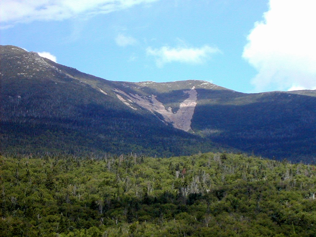
Of all these peaks, I like Lincoln the best. It is impressive both from the west, with it's multiple slides and scars, and the east with the massive Lincoln Slide, and along the ridge line it has impressive crags and pinnacles with vertical drop-offs, especially towards the west. In contrast, I think of Lafayette as a boring lump. But a spectacular boring lump! I did some visual scouting of the Lincoln Slide from Lincoln and from North Lincoln and found a series of ledges leading southeast off of North Lincoln that looked like the right approach to the slide I would descend the following day. I stuck my red bandanna in a rock at the point where the ledges led off the trail in case the ridge happened to be completely socked in when I got here early the next morning. The last climb, to Lafayette, was longer than it looked at first. It always is. It's such a massive peak you tend to compress the distance in your mind's eye when you look at it across from Lincoln. "Why it's just over there" you think, but in fact it's WAY over there. But I finally made my way to it's summit on tired legs by about 4:30 and started down to the hut, a mile and 1100' below. I love descending Lafayette and seeing the hut, far below, as it gets bigger and bigger, and then you come out of the woods and there are Eagles Lakes with the hut sitting beautifully above. But it seems whenever I descend Lafayette, the skies always seem to clear as I make my way down, and today was no exception. By the time I got to the hut and turned around, much of the ski was clear again and Lafayette and Lincoln looked particularly majestic in the late afternoon sun.
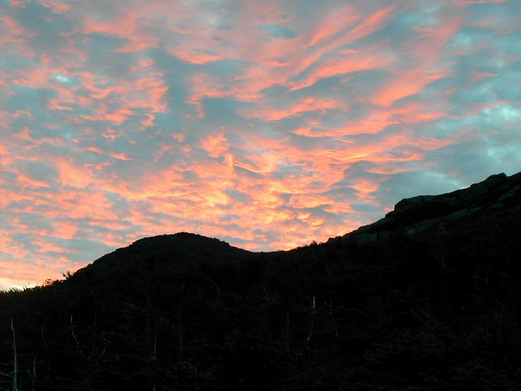
I got to the hut about 5:10 and found a bunk (near the bathroom, of course) and had some of that wonderful lemonade they always seem to have ready. Supper was great as usual, and the evening had a gorgeous sunset. I was more than ready for sleep at 9:30. Tomorrow would be my earliest start of the whole week. I was tired, but feeling very, very good.
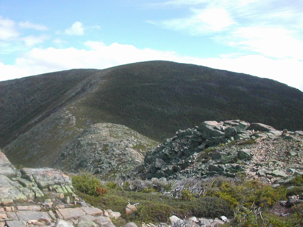
 Down the Lincoln Slide (Click on this or any picture for a larger image) |
| I |
 Sunrise over Lafayette |
The climb up Lafayette felt easy in spite of the steep slope and my overnight pack. The adrenalin helped as did the beautiful sunrise happening before me. First I saw the sunrise clouds over Lafayette and then near the top was the sight to the west of the sun hitting the top of Cannon Mountain behind me with the hut far below - still sleeping soundly.
I rounded the top of Lafayette and took time to change my clothes. It was quite cold (I would estimate under 50°) and windy, but hardly arctic. As long as I was moving I felt warm. The chill would continue on until I got over the east side of the ridge at North Lincoln where I would get out of the wind. I had made it to the summit in just about an hour, typical for me.
I hiked over to North Lincoln and found the spot I had marked with my red bandana the afternoon before. It was just before you reach the top of North Lincoln where there are two boulders on the left (east) of the trail.
Let me summarize the slide route by breaking it into three sections:
1) Getting onto the north prong from North Lincoln
2) Working down the slide
3) Getting out of the stream gully to the left bank of the stream, into the woods and doing the bushwhack.
I would say that 1) and 2) went well and were no problem even with my pack, but 3), getting into the woods and
doing the bushwhack did not go easily. Although here I am writing this so I obviously made it out. Here's
a Topozone of the Lincoln Slide. North Lincoln is the small unlabelled bump between Lafayette and Lincoln:
[Click for map].
 The top of the Lincoln Slide North Prong |
Photos: The descent of the slide is in the photo album and that gives a very good picture of what it was like. Unfortunately, the captions just give the date and time, but not the "What's this?" I suggest you find my red bandana (this) in the album: the next 6 photos show getting onto the slide from the trail just north of North Lincoln. The next 11 photos (starting here) show the desceent of the slide. The following text, together with the photos should make everything clear.
The Lincoln Slide: getting onto the north prong from North Lincoln:
From the point I had marked with my bandanna, I moved off the trail to the left,
slanting southeast and moved down two or three slabs which slanted down. From the last slab, there are some
boulders off about 20 yards to the right and slightly up hill. I got off the slab (on the left - the drop was too
high at the tip end) and circled around below the tip of the slab towards the right and then worked my way over to
the boulders. It's pretty open here and I felt a little guilty stepping on the occasional Diapensia and Mountain
Azalea. When you reach the boulders you are but a few yards from the tip top of the slide. You need to just work
through some Krumholz for these few yards and you are there. One thing you don't want to do is bushwhack through
Krumholz if you can avoid it. You can reach the slide in 5 minutes from the trail, or 10 minutes if you are
overly cautious.
The Lincoln Slide: working down the slide:
I must say, the slide itself
was rather easy. This is a very loose,
dirty slide where most of the surface is covered by gravel and pebbles together with rocks of all sizes up to
boulders. I suspect that this is because it is not as steep as some slides (Owls Head for example) where most of
this small loose stuff has long since washed away. It was like walking in loose sand. On every step you would
slide down a few inches (or more) and you just had to be very careful not to dislodge anything large. I stayed to
the far left of the slide. The left (north) prong, which I was on, reaches higher then the main prong and seemed
easier. The middle and right side of the slide
looked more rocky and a fairly steep gully went down the center. I
got myself down to the "bottom" of the slide in about 40 minutes from it's top, or 50 minutes from the trail on
North Lincoln.
 The slide becomes a stream |
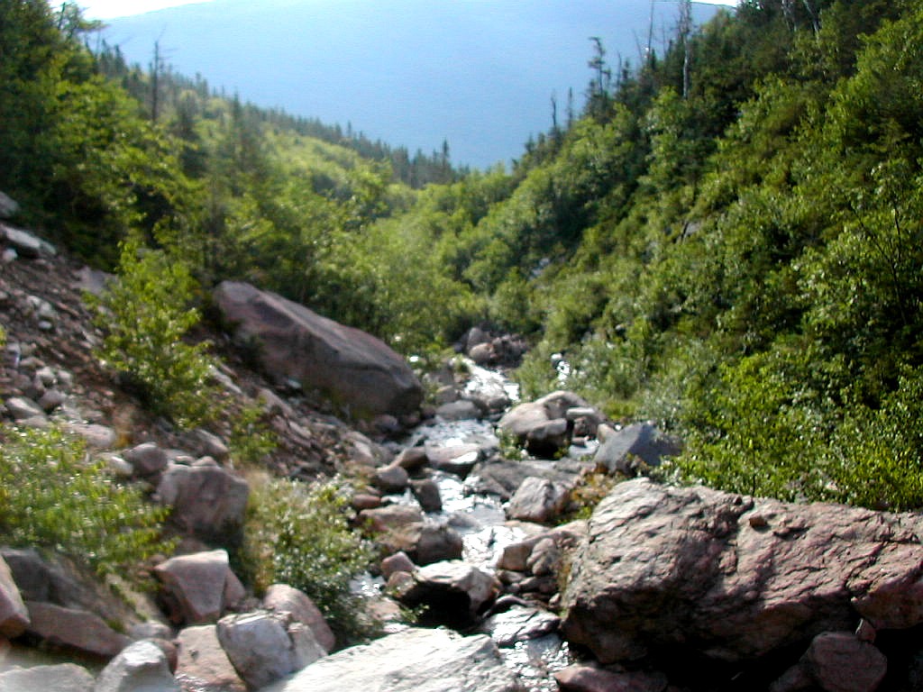
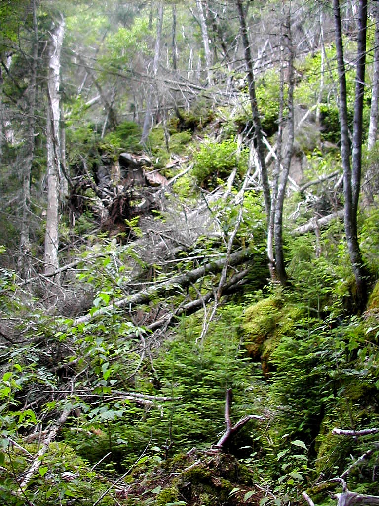
At this point I was in a fairly easy bushwhack. But here in retrospect I realize I made my second mistake, I worked my way down hill without paying much attention to where I was with respect to the stream. I suddenly realized I could no longer hear the stream. Since I had a map and knew the bearing the stream took on its way down, I worked my way to the right about 45 degrees up from that bearing, so I would get over to the stream while still moving down the slope. After 10 or 15 minutes I could hear the stream again and I found that there was a ridge or hogback that paralleled the stream perhaps 50 or 100 yards to the left of it, and this is what I followed down. Advice #2: Always stay close enough to the stream so you can hear it. The slope eventually got gentler and I could now occasionally see the stream through the trees. No longer was it a tumbling rill, now it was just a lazy stream. I had to work around an occasional boggy area but nothing substantial. Eventually I began to hear an loader sound: I was nearing Lincoln Brook. I reached Lincoln Brook just 10 or 20 yards form the confluence with the slide stream, just at a point where a beautiful cascade tumbled down. I could rock hop across Lincoln Brook just below this cascade, and after climbing perhaps 10 or 20 yards, I found myself on the Lincoln Brook Trail. It had taken me altogether 2 and a 1/2 hours from the top of the ridge. I know others have done it in half that amount of time or less. My biggest delay was due to the problems negotiating the bushwhack. If you can get some expert advice on that section you should be able to do it faster than I did.
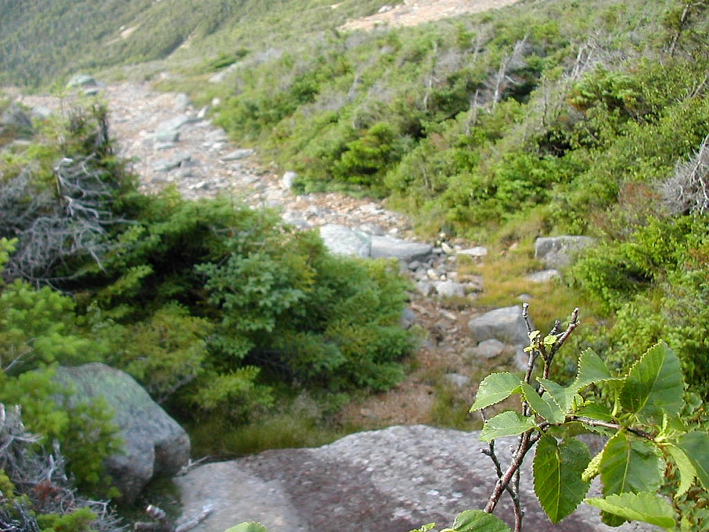
I changed out of my sweaty long bushwhack clothes and quickly hiked down the Lincoln Brook Trail to the large cairn marking the start of the trail up to Owls head. By the measure of what I had done yesterday and this morning this was a "walk in the park". I started up about 9:45. I soon reached the Owls Head Slide. Ouch! This was steep and exhausting, especially with my overnight pack. This slide differed noticeably from the Lincoln Slide: it was steeper (my Maptech software reads it as a 40% - 45% grade, and the Lincoln Slide as a 30% - 35% grade) and
 The Lincoln Slide from the Owls Head Slide |
At about 11:45 I decided to move on. Since I was bushed, I made a decision to head to the Franconia Brook Campground tonight rather than trying to bushwhack up Bondcliff and hike over to Guyot Campground. I decided however to bushwhack down the east side of OH, bushed though I was. Actually I just didn't want to go back down the OH Slide (though I know now it would have been shorter by far then the bushwhack I took). This was long and tiring and in a word, rather bad (sorry, two words). There was a herd path leading east off the summit so I followed that for a while. After about 100' of elevation loss it petered out, but not before I found this: [Click for photo]. This was a surprise to find in the absolute middle of no where. But I'm glad I found it! I pushed on and tried to stay on the east ridge but the slope suddenly got very steep and I found my self in a gully. I thought at the time that it was the upper gully of the stream to the north of the ridge line I was trying to follow since I seemed to come to it from the south (right), so I pushed more to the right but only ended up more in the gully. (When I finally made it out to Franconia Brook I realized this was the stream to the south of the ridge since I came out very close to where Hellgate Brook comes in from the east.) See this map which shows the ridge I should have been on (the red "+") and the streams to the north and south of the ridge: [Click for map].
 Tough going down the east side of Owls Head |
But I still knew up from down so I pushed on and found my way to some sort of ridge line above and to the left of the gully, and slowly, very slowly, made my way down. Eventually I reached a very gentle area and the stream curved to the right. I still, of course, had my compass and knew the original bearing of the ridge and gully so I kept to that and lo and behold, I came out to Franconia Brook, running wide and swift. Much relieved, I changed to my Tevas and forded this stream (about knee deep) and made my way up to the path on the opposite shore. It was about 2:45, three hours after starting down from the OH summit. But I knew where I was, map or no map, and it was where I wanted to be, so I was as happy as a pig in shit!
When I got back home, there was a discussion on the "Views from the Top" internet forum [Click for VFTT discussion]
about where exactly the summit of Owls Head
is located. Some good evidence (though not inconvertable) was given that it is actually on the southern bump of the
ridge crest (shown on the map above by the red "+"), and not at the "4025" spot.
This might explain a lot about me ending up in the gully instead of the east ridge in my bushwhack. Look at the map
and notice if you go due east from the red "+" you end up in the gully, not along
the east ridge! Is this the real explanation for my misdirected bushwhack? That must await further study - and perhaps another
tip to Owls head! 
 View from the Franconia Brook Trail |
It was a
literal boulevard. They had laid this trail along an old railroad right-of-way and you could
actually see some old RR ties here and there. Luckily I had studied the map rather well before managing to lose
it, so off I went the 3 or so miles down the trail to the Franconia Brook Campground. After crossing what must
have been Hellgate Brook almost immediately, I soon passed a couple of pretty lakes on the left and at another
point the trail went to the left around a beaver bog before returning to the railroad right-of-way. At 4:30 PM,
11 and a half hours after leaving Greenleaf Hut, I crossed the East Branch of the Pemi on
the stepping stones,
over to the Campground. This was a USFS campground (=free!) so I just had to
pick a spot and register myself. I
pitched my tent, eat, hung my food and was in bed by 7:30. Quite a day. And guess what? I met not one other hiker
all day long!
 Approaching Bondcliff (Click on this or any picture for a larger image) |
| I |
 The Wilderness Trail in the early morning light |
Ironically, today, although the longest hike with the most elevation gain, was almost an anticlimax to yesterday's double bushwhack. But once I got moving I warmed up and enjoyed the trails. The Wilderness Trail was as easy as yesterdays walk on the Franconia Brook trail. It was also built along an old RR, and in this case the ties were pretty much all still in place, although they were slowly rotting away. After a couple of miles I hit the Bondcliff Trail. I would do this trail complete, end to end. In fact I would cross the Pemigewasset Wilderness complete, south to north today. The Wilderness Trail is the southern boundary and the Twinway is the northern boundary. Here's a Topozone mape showing the Wilderness trail and the Bondcliff Trail up to "The Cliffs" and on to Mount Bond: [Click for map]. The Franconia Brook Campground is located where Franconia Brook flows into the East Branch of the Pemigewasset at the lower left of the map.
The Bondcliff Trail started as an easy woods trail as it slowly rose on the south side of Bondcliff. Note that on USGS
maps Bondcliff is labelled "The Cliffs". It was mostly packed dirt with your occasional roots, and
a fair smattering
of rocks. For the first couple of miles it follows the valley of Black Brook. After about an hour we crossed and
recrossed an old slide or dry stream gully (perhaps the upper reaches of Black Brook) and things got rather steep
for a while. There were a sequence of rock steps and switchbacks as we circled to the left and crossed onto
the west side of the valley and onto the southwest ridge of Bondcliff. Here's a closeup map of this area:
[Click for map].
Here the trail rose steeply but not roughly and finally reached the point where the trees became Krumholz above 3500'.
Finally the trail took a 180 degree turn to the right as it rose towards treeline and I had to climb one rather
enormous ledge. Definitely this was not wheelchair accessible.
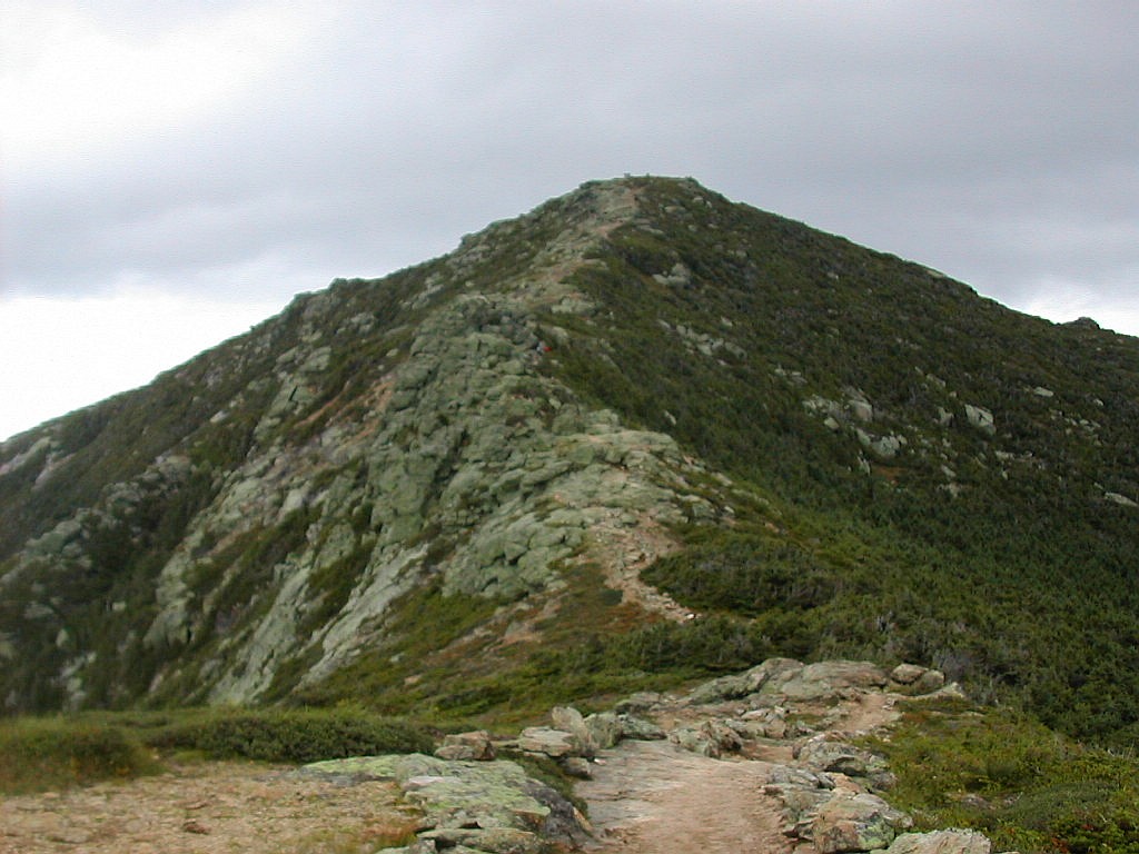
 Mount Bond seen across the col from Bondcliff |
Soon after the big ledge we rose above treeline and the ridge opened up before me. The wind was strong and cold and the views were gorgeous. My notes say "Fabulous, incredible views. Best day." The sky was a mixture of sun and clouds and I was alone on this marvelous summit. I saw the rock pinnacle just past the summit where folks like to get their picture taken. Aw shucks! no one was here to take my picture! Luckily the wind was blowing in from the cliffs, so I was in little danger of getting blown off. The views across to West Bond with those three inviting slides were spectacular. Cloud capped Garfield over West Bond's shoulder was striking as were the Presidentials, peeking out from behind Mount Bond. And Mount Bond itself and the intervening ridge line was a great sight. In a way I'm glad now that I didn't have time last year to get down here when I did the other 2 Bonds. It was rainy and cloudy. For a first time on Bondcliff, this was the best. But I was getting cold, and I got moving, passing 2 sets of 2 hikers coming up from the north. But I was first on Bondcliff for the day and I had it all to myself for a while.
The hike across the col was longer than it looked. I checked the slope up the steep side from Hellgate Brook and said to myself "Now that looks interesting". So my mind is still thinking about how to do the bushwhack that I skipped yesterday. I got back into the woods and climbed to the top of Mount Bond with great views back down to Bondcliff. I wonder why this peak, more than 400' higher than Bondcliff is mostly wooded except for the very top, whereas Bondcliff is entirely above treeline? I'm sure it's the rock or the wind direction or the steepness or something or other. I moved along but didn't pass another hike until I got to the West Bond cutoff. On the way there were some nice views of Garfield and "Southwest" Twin. A family was there just starting up to that peak. I skipped West Bond (sorry) since I had done that before and I had a long day in front of me. I passed by Guyot Campground
 "South" Guyot with Guyot behind |
Now It was the Twinway towards Zealand, Zeacliff and Zealand Falls. I always remember this section as relatively flat. You go up South Twin, across the Twinway then down Zeacliff. But you don't! There is a good deal of elevation gain between Guyot and Zealand including steep ledges to try the tired legs. When I got to the Zealand cutoff, I went in to see that wonderful sign. What do I find but a couple of 50ish thru-hikers, "C'est la vie" and "Louie". They said they came in when they saw the sign to just "check it out" and stayed to have lunch. Bless them, thru-hikers are not known for side trips just to "check something out". I told them not to miss the views from Zeacliff, and I was off again. The trail to Zeacliff was longer than I remember and the steep down hill was in two parts, one overlooking Zeacliff Pond and one at Zeacliff. It's good to see these trails periodically. There are lots of details that fade from memory. Along this section I met Ann from VFTT and she recognized me. We chatted briefly as her dog was mooching some snacks from her. Here's a map showing the Twinway from Mount Guyot, past Mount Zealand and down the steep descent of Zeacliff: [Click for map].
Finally I got to Zeacliff which I went over to to check out the views. Although the clouds had mostly crowded the blue out of the sky, there were still patches of sunlight on the flanks of Monroe and Washington visible over to the east behind Mount Tom. I met a section hike named "Detour" there and he was quite a character. He would not stop talking and ran off at the mouth almost the whole way down to the stream above Zealand Falls. Thank goodness he was not going to Mount Hale as I was, or I would have gone crazy. Finally when we got the that flat slab where the trail crosses the stream he decided to hang out for a while so I went ahead to the junction of the Lend-A-hand trail, just a little further on. I had decided I would stop at the hut if I needed water, but I checked and still had over a liter so I decided to forgo that little side journey. It was 2:10 and I took a break and ate some food. My last real break for the day. I still had about 5 miles before me to climb up Mount Hale and then down to Zealand Road. I was on schedule but there was no slack. I got moving again around 2:30 PM.
 The Twins from Mount Hale |
The Lend-A-Hand seems like a new trail (it's actually been around for quite a while, but perhaps there have been some recent relocations). The treadway was not packed and there were plenty of roots and plenty of moss on the rocks. Maybe it's just not used very much. Mount Hale lacks the "cachet" of many of the more famous peaks in this area. The first section was an easy trail up a moderate grade with occasional rocky sections. Then there was a long section through a boggy area across puncheons. It's easy to walk on this type of trail and the area was quite lovely. Then as we got closer to the peak, the trail got rather steep and we climbed first a sub-peak and then after crossing a gentle col, the main peak. I reached the summit just after 4:00 PM, my 5th new 4000 footer of the week (plus I did that NEHH peak). The top was wooded but a large circular clearing was there and the foundations of a fire tower, long gone. There was a huge cairn in the center and by standing on it you could get reasonable views of the Twins to the west and the Willey Range to the southeast. Here's a map of Mount Hale: [Click for map].
I took the Hale Brook Trail down off the summit. This seemed clearly to be an older, more well established trail. The grades were gentler and it showed signs of good maintenance over the years. After a mile of so, the grade got gentle and we moved down through an open hardwood forest to the road. I finally got to the trailhead, and saw that my car was there in one piece and breathed a sigh of relief. It was almost 5:30 PM, another 11+ hour day!
A great day, a great week!
|
Click here for a complete set of albums of these hikes Return to Papa Bear Home Page |